
Gympie suburbs in firing line as La Nina flood, weather threat looms
The Gympie council says it is ‘better prepared’ as the expected return of a La Nina weather pattern poses another flood threat to the region. These are the suburbs most at risk.

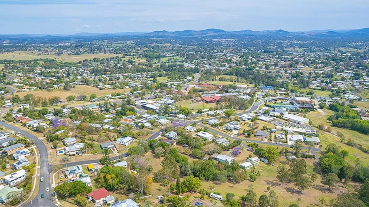
Gympie
Don't miss out on the headlines from Gympie. Followed categories will be added to My News.
The likely return of a La Nina weather pattern has prompted authorities to warn of the potential for more flooding, as the Gympie region continues to recover from a trio of disasters in 2022.
The Bureau of Meteorology has issued an alert for above average rainfall through to the end of the year across two-thirds of Australia, including Gympie and the east coast.
It would add to rainfall figures already well past Gympie’s yearly median average, with 1471.6mm recorded so far this year - 300mm more than the expected 12-month average.
Gympie Regional Council flood maps reveal which suburbs need to be prepared for the possibility of being inundated once again.
Under a moderate 16m flood, high enough to submerge the Normanby Bridge and cut Gympie and the Southside off from each other, suburbs including East Deep Creek and the Gympie CBD would be under water.
Regional townships including Curra, Sexton and Miva to the north would all have flooding on their outskirts.
In the Mary Valley Dagun, Tuchekoi and Traveston would once again find themselves partially submerged in a 16m flood.
Things would be dramatically worse under any disaster which approached the scale of the February 2022 flood, though.
The council’s maps, which top out at 22.96m (the height of the February flood), show Imbil, Kandanga and Amamoor would have moderate flooding while significant flood waters would stretch between the Mary Valley Highway, the Old Bruce Highway and Kenilworth Skyring Creek Rd.
Parts of Kybong, the Southside, and Gympie would be engulfed by these floodwaters, which would stretch through Deep Creek and to the south of Victory Heights.
Further north along the Bruce Highway, Bells Bridge would go under, while areas between Curra and Woolooga would be submerged too.
Mayor Glen Hartwig said the council was prepared in the event of another disaster and “we have learnt a great deal from the weather events earlier this year”.
He urged people to have a plan and know where they could keep up to date in an emergency.
“Firstly, have a look on the council website and familiarise yourself with the Disaster Dashboard,” Mr Hartwig said.
“The dashboard provides up-to-date information on things like road closures, river heights and flood mapping.
“It is important to know if your property will be impacted by flood, specifically at what river height it affects your property.
“Another suggestion, visit the Queensland Government’s Get Ready website.
“The space is full of really useful tips on getting a disaster plan in place and what you may need in the event of a disaster.”
He said the council had established a specialist disaster management job within the council and it continued to prepare in conjunction with the BOM’s advice.
Click here to find the Gympie council’s Disaster Dashboard.


‘Do something now’: Fire ants blamed for river banks collapse
Logan River residents want the state to investigate possible links between deadly fire ants and accelerating river bank erosion as property owners live in fear of landslips.
Gympie sale and auction results, week ending July 26
See the latest auction and sales results in Gympie for last week.