
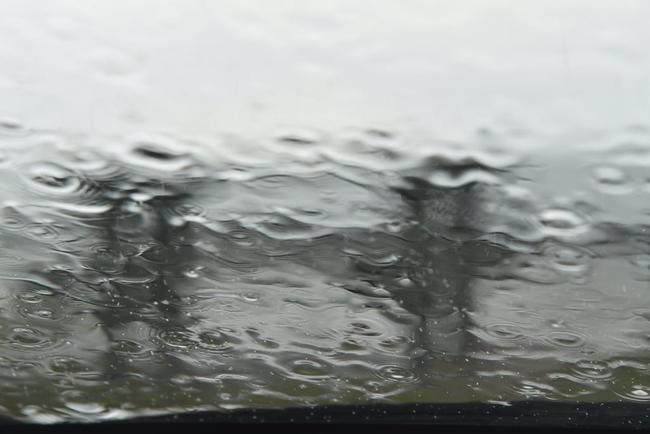
Don't expect to put the brolly away any time soon
Rain forecast for Gladstone region through next week.
Gladstone
Don't miss out on the headlines from Gladstone. Followed categories will be added to My News.
IF YOU haven't already got the brolly handy it's time to get it out, with rain on the horizon for the next week.
Patchy rain today is likely to turn into significant rain tomorrow with the Bureau of Meteorology predicting a 90% chance of rain in Gladstone and possible thunderstorms for Saturday.
Showers are likely to continue through the week with cooler temperatures reaching the mid-twenties giving a welcome break from the heat of this week.
Adding to the relief from last week's rainfall, a significant rain event will drench much of Queensland's east coast next week.
The Bureau of Meteorology's total rainfall forecast for the next eight days shows up to 200mm could fall in the central and south-east coastal regions.
An unstable weather environment over the state has the potential to cause heavy falls and thunderstorms from as early as today.
BoM meteorologist Lauren Pattie said the focus of rain for today would be the Wide Bay region and out to the central interior.
"Because of all those upper systems and that surface trough and that coastal trough, we have pretty much an unstable environment and because of that we will see storms," she said.
"They'll start to spread in from the west from (yesterday) and north of the state as well.
"The focus for storm activity and rainfall for Friday will extend through the central interior into the Wide Bay. There is the potential for local heavy falls and storms."
"From Saturday, it gets a little bit tricky because it depends exactly on where that coastal trough is, but there is potential for local heavy falls to extend further into the southeast on Saturday," Ms Pattie said.
"On Sunday, there is a chance in Brisbane of moderate falls depending on where that trough starts to sit and again associated with thunderstorms."
She said in Brisbane, the highest rainfall would likely occur on Sunday.
The weather systems are expected to gradually shift further north on Monday and dump up to 200mm on the Mackay region across four days.
Ms Pattie said the weather bureau would closely monitor the weather event over the coming days.
"It's not necessarily unusual to have that weather pattern (of several troughs)," she said.
"Each location has its own threshold for what is considered significant falls based on statistical analysis. "(It's) definitely significant in terms of the potential for heavy falls."

Married meatworker sexually assaults teenager in street
A meatworker has pleaded guilty to sexually assaulting a young female stranger after ignoring her pleas of ‘no’.

Warrant issued for CQ woman facing 21 fraud charges
An arrest warrant has been issued for a Central Queensland woman facing 21 fraud charges after she failed to appear in court.