
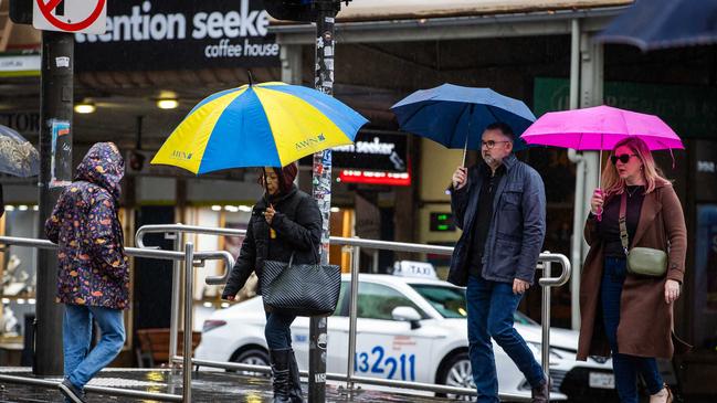
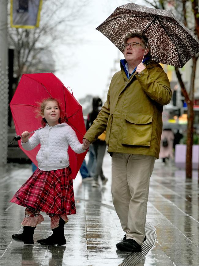
Damage across the state as severe wind and rain lashes SA
With the phone lines lighting up with hundreds calling for help, thousands were left without power amid the wild weather battering the state.
Weather
Don't miss out on the headlines from Weather. Followed categories will be added to My News.
Nearly 4000 homes still remain without power as both the State Emergency Services and SA Power Networks work to repair damage after wild winds, reaching up to 150km/h, battered the state.
The SES has been inundated with over 450 requests for assistance since Friday morning, spread across the state.
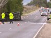
SES chief of staff Robert Charlton said most calls for help were related to property damage caused by fallen trees; however, there had also been some reports of significant roof damage to buildings; fortunately, no injuries have been reported.

“We’re anticipating that we’ll be able to clear (all incidents) today, pending what else comes in at this stage,” he said.
Mr Charlton also confirmed the SES had not been impacted by Friday’s global IT outage.
Meanwhile, SA Power Networks reported around 45,000 customers had experienced power outages since Friday morning, as a result of the severe weather.
SA Power Networks advocacy and policy manager Cecilia Schutz said all power outages were the result of damaged power lines and poles, and that no significant infrastructure, such as substations, had been damaged.
Ms Schultz expected nearly all outages to be restored by Saturday night.
“We have around 190 jobs open at the moment,” she said.
“Some of those jobs are single customer jobs, so there will be a bit of a tail into the night but we’ll have our crews working into the evening to restore power.
Ms Schultz also confirmed SA Power Networks had experienced some disruption to its internal systems due to the global IT outage, but their network operation centre was fully operational.

“We were experiencing some internal issues until around 10pm last night,” she said.
“But since that time, we are operating relatively normally.”
Senior Meteorologist at the Bureau of Meteorology, Mark Anolak, confirmed the severe weather event system was beginning to weaken, with winds easing by the afternoon.
“We may still see some gusty showers moving over us but the strongest winds have now passed,” he said.
“The system will continue to move eastwards into the eastern states during the afternoon and evening with damaging wind gusts expected through Victoria and in New South Wales in particular.
Adelaide Forecast
On Saturday, temperatures will climb to 15C with morning winds of 35 to 50 km/h eventually easing to 25 to 35 km/h. There is a high chance of showers.
Sunday’s temperature will be a top of 16C with a high chance of showers in the morning and afternoon but the wind is expected to drop to 25 to 35 km/h throughout the day.
As for the week ahead, the BOM forecasts a return to fine weather through the early part of next week before another cold front is expected to return around Wednesday or Thursday.
However, Mr Anolak said it would not be as harsh as Friday’s weather event.
“This system is probably the worst for this (winter) season so far,” he said.
“Cold fronts after this don’t look anywhere near as intense.”
Help for Rough Sleepers
Due to the severity of the winds, the state government issued a Code Blue for rough sleepers – urging those across the Adelaide metro area, Fleurieu Peninsula, Kangaroo Island, Upper Spencer Gulf, Lower Eyre Peninsula and the Copper Coast to seek shelter.
Earlier Code Blue activations remain in place for the Clare Valley, Limestone Coast and Riverland until 25 July.
Rare weather occurrence
This comes after The Advertiser warned about a “rare” weather event growing above Antarctica which would bring in more cold fronts and rainfall to Australia’s south in the coming weeks.
The sudden stratospheric warming event is caused by an “abrupt increase in air temperature high above the Earth’s polar regions” in the stratosphere layer, which is about 20-40km above the Earth’s surface.
The warming event could filter down through the atmosphere and ultimately allow chilly polar air to drift further away from Antarctica and closer to the mid-latitudes.
This would cause southern Australia to experience more cold fronts, stronger winds and low pressure systems, and increased rainfall and snow potential could occur in Australia’s southwest and southeast.

Join the conversation

Screws tighten on distressed SA farmers
Their plight has been in the headlines for months, but a new survey of drought-stricken farmers paints a stark picture when it comes to accessing the finance they need to stay afloat.
Read more

Extreme chill sets in after wild winds and heavy rain
The worst of the wind and the rain may have moved on after wreaking havoc, but SA is now in the grips of an extreme chill bringing the coldest temperatures of the year by far.
Read more