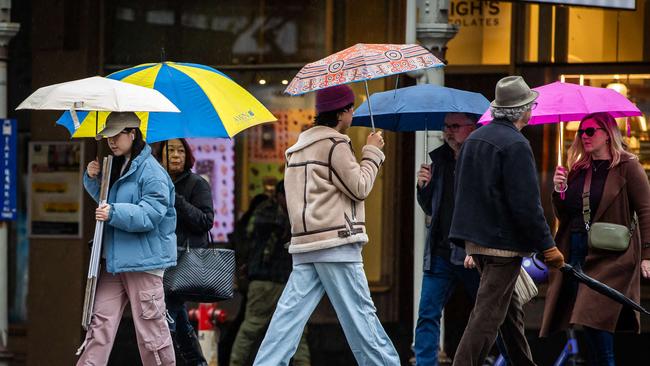
Adelaide wakes to showers with more rain on the way across South Australia
The skies opened up on Thursday morning with rain reported mainly in Adelaide’s south. Find out how much more is on the way and when.

Weather
Don't miss out on the headlines from Weather. Followed categories will be added to My News.
Early morning commuters across Adelaide reported rain on car rooves on Thursday, however the rain has been isolated to small areas across the state.
In the metropolitan area, the rain fell most down south, with Noarlunga recording 4.2mm while 3.2mm has been recorded at Mount Lofty.
In the city, 0.8mm was recorded
In the regions, Mount Gambier has recorded 4.2mm in the South East while other agricultural regions have stayed dry.
The wet weather comes after Adelaide recorded its coldest September morning ever on Tuesday with South Australians freezing through subzero temperatures elsewhere across the state.

The chance of rain is set to increase into the weekend with Adelaide set for a cloudy Friday with a very high chance of showers with up to 6mm predicted and a top of 17C.
Saturday will bring much of the same with up to 5mm of rainfall expected and a top of 17C again, with the rain likely to hang around on Sunday morning before clearing up on Monday.
However, the Bureau of Meteorology is forecasting a swift return of the wet stuff, with a high chance of rain on Tuesday with up to 7mm predicted and 9mm for Thursday to round out the seven-day forecast.
The Upper South-East is tipped for up to 4mm on Friday with falls of 2mm predicted each day on the weekend but up to 8mm midweek next week.
The Murraylands and Mallee regions are likely to miss out on the rain until Tuesday next week while the Mid North, Eyre and Yorke Peninsulas and the West Coast have similar forecasts of light showers until Tuesday with up to 9mm of rain predicted.


