New maps show huge River Murray flood surge at 250GL a day
Flood modelling reveals how SA’s river towns would be inundated by floods of up to 250GL a day, with thousands of homes under water. Explore the maps.
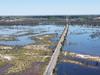
More than 4200 properties would be inundated if the River Murray reaches flows of 250GL a day.
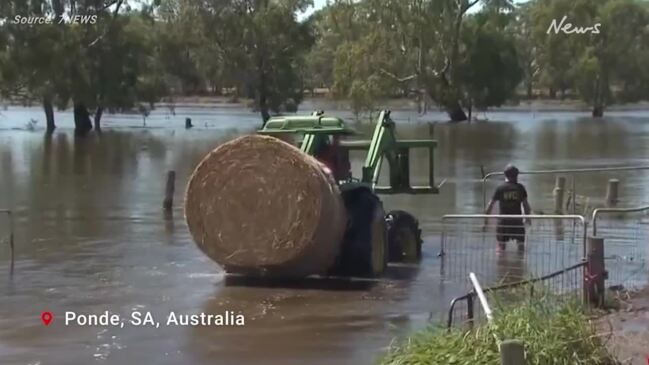
It comes as peak floodwaters of 190GL/day to 220GL/day could reach Renmark before Christmas.
The Department of Environment and Water (DEW) revised peak flow dates on Wednesday evening.
The new numbers indicate the water will make its way over the border between December 21 and 28.
Berri can expect the flows between December 22 and January 2, while Murray Bridge won’t see the highest water levels until January 3-14.
According to DEW, flows of 200GL/day is considered a major flood.
A South Australian River Murray flood is considered ‘exceptional’ if the water level is five or more metres above pool level.
This has occurred just four times – in 1931, 1956, 1973 and 1974.
The 1956 flood, which peaked at 341GL/day, is the largest River Murray flood on record.
Flood maps released by the Department of Environment and Water show areas likely to go under water in a new scenario of 250GL per day.
Previous maps showed flooding at 120GL/day, 140GL/day and 160GL/day and 200GL a day.
The maps reveal more than 4250 properties would be flooded if the 250GL mark is reached.
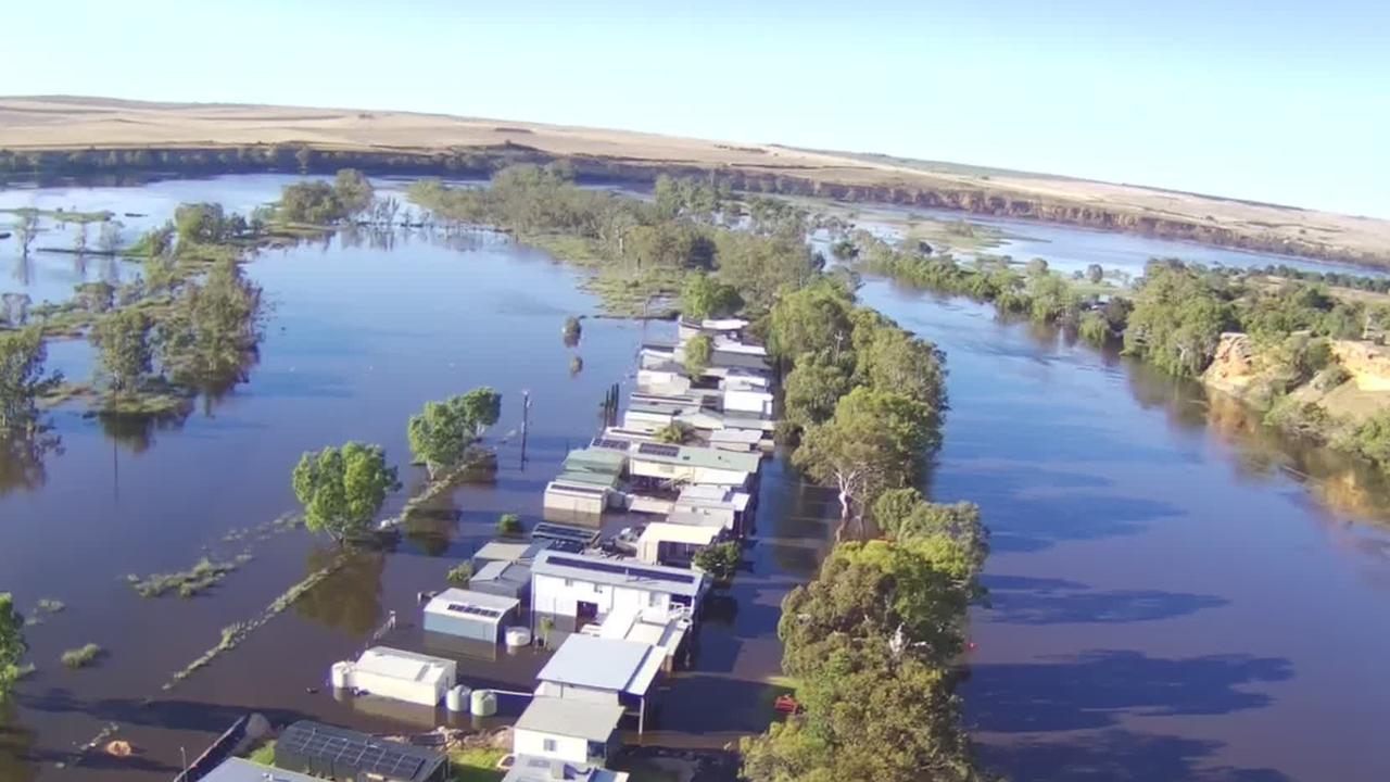
This includes hundreds of shacks near Morgan and Mannum.
At 250GL/day, dozens of homes in Renmark would find themselves almost completely surrounded by water, and large sections of the town submerged.
Explore the maps below.
KEY TO THE MAPS
120GL/day: This was the initial forecast for what the flow would reach at the SA border in early December.
140GL/day: Predictions increased to 135GL a day on October 28.
160GL/day: Flow predictions then increased to 165GL a day on November 10.
200GL/day: Flow predictions increased to 175GL a day on November 17
Note for app users: Double-tap to zoom in and move around the maps, or use the links below each embed to open in full-screen mode.
MANNUM
MURRAY BRIDGE
BERRI
BLANCHETOWN
MORGAN
RENMARK NORTH
RENMARK SOUTH
SWAN REACH
WAIKERIE
LOXTON
200GL not yet published
250GL not yet published