
Adelaide wakes to lowest June temperature in 75 years
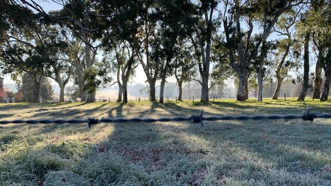
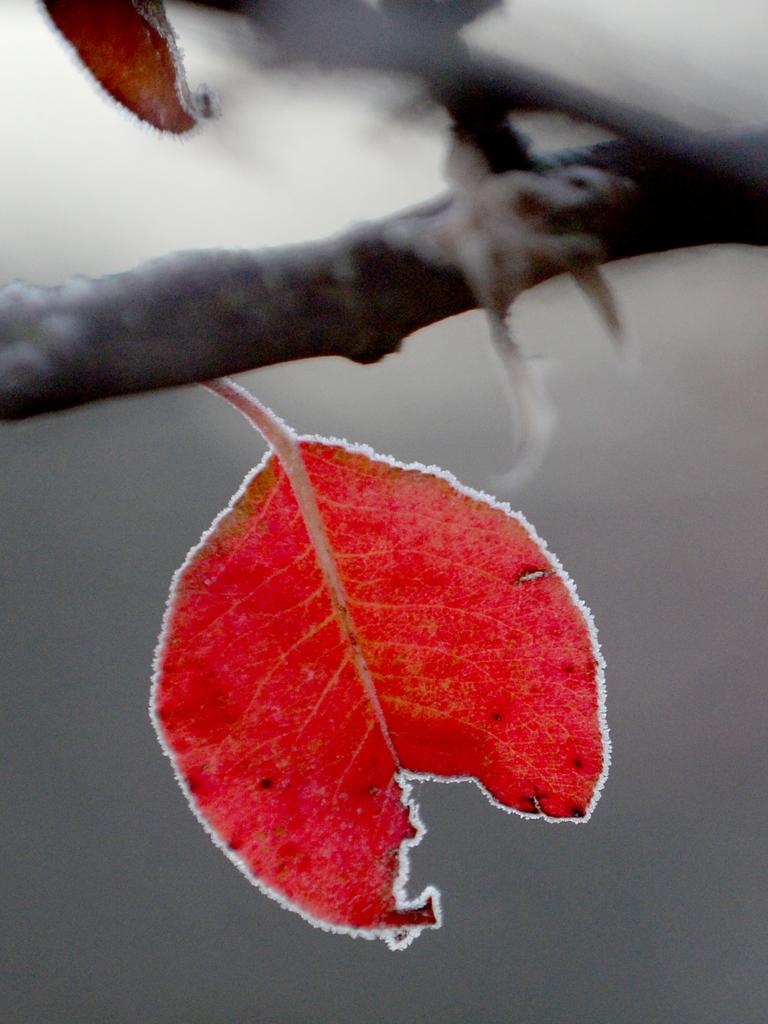
Adelaide woke to the coldest morning in decades this morning, providing readers with plenty of opportunity to grab some rare pictures of the icy weather.

SA News
Don't miss out on the headlines from SA News. Followed categories will be added to My News.
South Australians have woken to the third brisk day in a row, with central Adelaide recording its coldest morning in 75 years.
The mercury at the West Tce weather station — which has replaced Kent Town as the Bureau of Meteorology’s main measuring point — dropped to 0.9C at 5.21am.
Duty forecaster Jenny Horvat said the previous low at West Tce was on June 24, 1944, when it was an equally chilly 0.8C.
Ms Horvat said this week’s cold nights — and sunny days — were being caused by light winds, clear skies and a high pressure system to the east of South Australia.
“We can expect a sunny day today and tomorrow with winds picking up on Friday as a front comes in, bringing showers with it on Saturday,” she said.
Ms Horvat said other parts of South Australia also experienced a chilly start to the day, with Kadina, on Yorke Peninsula, recording -2.2C, its lowest on record for June.
SEND US YOUR COLD WEATHER PHOTOS
The coldest part of the state was Yunta, with -4.4C, while the Barossa and Clare valleys shivered with -3.0C, Snowtown had -3.4C, Loxton and Renmark both recorded -2.2C and Keith, in the South East, woke to -2.2C.
The coldest areas in Adelaide were, not surprisingly because of the large expanse of open space, the three airports — Adelaide, Edinburgh and Parafield — which ranged from 0.4C to -2.4C.
However, while the June temperatures are reaching new lows in the city, it is next month we should be bracing for, said Ms Horvat.
“We have been colder, but in July,” she said.
“The lowest we have been at West Terrace was 0.6 on the 24th of July in 2008.”
Citrus growers wait to see cold weather damage
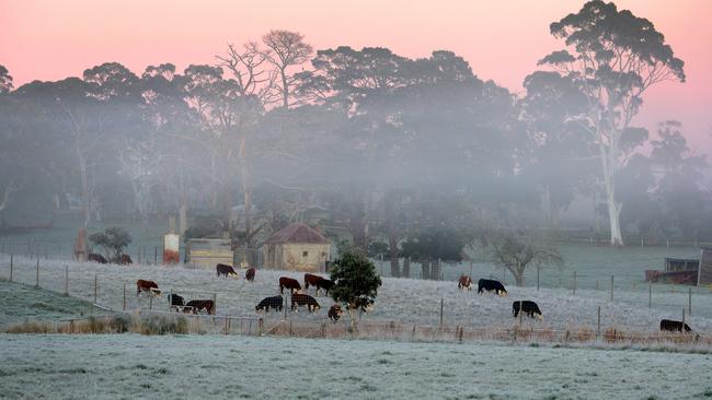
Freezing cold temperatures this week are causing headaches for the state’s citrus season – which only started picking this season’s fruit a month ago.
Citrus SA chairman Mark Doecke, who farms at Sunlands near Waikerie, said it had been -5C for the past two mornings.
“It’s a concern, we don’t usually cop it as bad at this end of the Riverland, but we had -5 at Waikerie this (Wednesday) morning and Renmark had -2,” he said.
Mr Doecke said frost can cause damage to the rind of citrus that then makes it unacceptable to the market.
Frost can also affect the inside of the fruit – leading to dry patches within it – which then affects the weight of the citrus.
“With our packing technology, the oranges are graded for size, and they’re meant to test at a certain weight. If the fruit doesn’t meet that weight, the machine will pick it up,” he said.
Mr Doecke said after years of struggling with water availability issues and tight returns when the dollar was almost at parity, the citrus industry had turned a corner in the past few years.
“The last three years have been really good and this year was looking really good,” he said.
“While this (frost) is not a disaster, there will definitely be some cost.
“At this stage it’s too early to tell what the cost will be – it’ll be clearer in a week’s time.”
Mr Doecke said harvesting of Washington navels only started within the past week.
“Some M7 navels were picked earlier, but they’re not as widely grown,” he said.
Mr Doecke said while the sugars in the orange crops give them some protection against frost, he is concerned about his later season varieties of mandarins, which are more susceptible to frost damage.
To try to mitigate the frost damage Mr Doecke is spraying his trees with molasses to protect them.
Mid North agricultural consultant Peter Cousins said at this stage of the season, frost was not a major concern to the broadacre industry.
“Frost just slows growth up and it does dry out the top of the ground,” he said.
Mr Cousins said frost was a much greater concern later in the season, especially before crops were going into the grain-fill stage.
– Paula Thompson