
Thunderstorms and clouds set to take over South Australia’s hot summer days cancelled
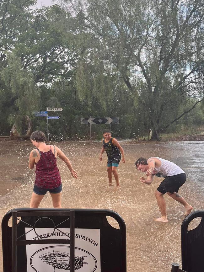
Parts of the state have prepared for heavy rainfall on Tuesday afternoon, with a severe thunderstorm set to break SA’s hot spell, but a late afternoon BoM report suggests storms are easing.

SA News
Don't miss out on the headlines from SA News. Followed categories will be added to My News.
Weather forecasters issued a severe thunderstorm warning across parts of the Riverland and Murraylands regions for Tuesday afternoon, but a late day update reports that the storm is easing.
The Bureau of Meteorology’s update about 2.30pm warned of heavy rainfall which may lead to flash flooding, damaging winds and large hailstones “over the next several hours” at locations including Renmark, Lameroo, Bordertown, Waikerie, Olary and Danggali Conservation Park.
At 4:51pm, BoM issed a cancellation of severe thunderstorm report.
The original report also warned of a strong marine wind warning for the Spencer Gulf and lower South East coast continuing until through to Wednesday.

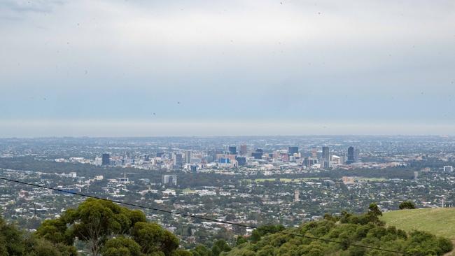
For many it was a sleepless night across Adelaide overnight Monday as the heat rose higher than usual throughout the greater metropolitan area.
Senior meteorologist Hannah Colhoun said the overnight temperature was six degrees above average.
“We had a minimum of 22.6 degrees just before 3.30am this morning and for this time of year it is about six degrees above our average,” Ms Colhoun said.
“The heat will continue into the day as we’re expecting a maximum of 33C.”
The BoM forecast for Adelaide’s metropolitan area on Tuesday was a top of 33C.
Relief is on the way on Wednesday and Thursday, with a significant drop as the temperatures reach a top of 23C and 25C respectively, with both days predicted to be cloudy.
Ms Colhoun explained the trough was moving into Adelaide from different directions of South Australia meaning other parts of the state had already felt the rain.
“We’ve got a broad area of low-pressure trough throughout the north and west on Monday,” she told The Advertiser.
“We’re expecting thunderstorm activity about western, northern, and eastern parts of South Australia and then on Tuesday to move further to the east, to Adelaide.”
“The rainfall across the state will be quite variable depending on where those thunderstorms do form.”
Mount Gambier has a similar forecast with Tuesday expected to be 32C – with a high chance of thunderstorms and showers in the afternoon and evening.
Then Wednesday and Thursday will be a chilly 20C and 21C with a shower or two throughout the day.
Whyalla is expecting 33C on Tuesday with a few showers and the possibility of a thunderstorm coming in later.
Then on Wednesday and Thursday, Whyalla will cool down to 24C and 25C with strong winds travelling between 25 to 45km/h.
Renmark will remain warn despite thunderstorms and heavy rainfall on Tuesday as temperatures reach 34C.
While Wednesday and Thursday will hover around 29C.


She ain’t nothin’ but a found dog: KI’s famous sausage pup finally captured
It’s the news we’ve all been waiting for – lost miniature dachshund Valerie has finally been found on Kangaroo Island.

Smoked out: Raid locations on war against illicit tobacco trade revealed
Nearly 400 premises have been raided in a statewide crackdown on the illegal tobacco trade and now, their locations have been revealed.