
SA weather: snow seen in cold burst as temperatures begin to warm
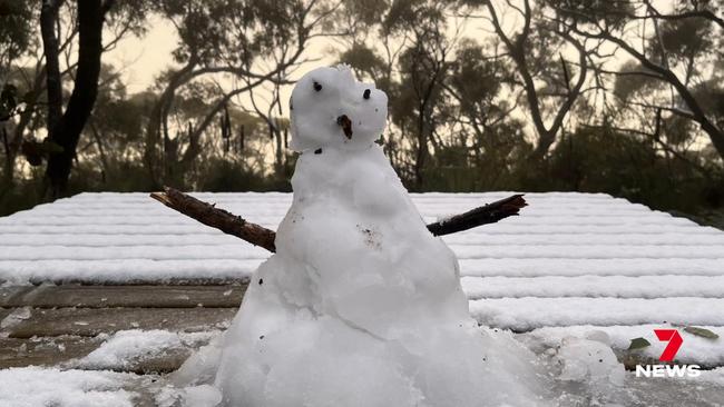
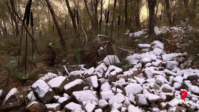
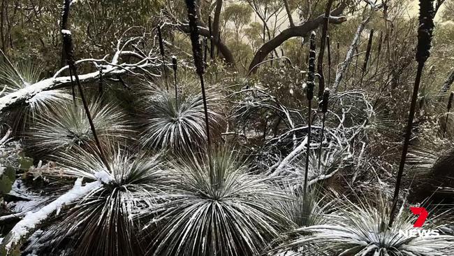
Snow has been spotted in South Australia as temperatures plummeted across the state and Adelaide. But the cold weather is beginning to turn for the start of spring. Picture: 7 News
SA News
Don't miss out on the headlines from SA News. Followed categories will be added to My News.
Temperatures are expected to warm ahead of spring in Adelaide in coming days after a cold burst brought snow to parts of the Mid North.
Low minimum temperatures were recorded across the state, from -0.1C in Nuriootpa to 1.2C in Naracoorte and 1.4C in Lameroo on Tuesday, and snow was spotted on Mt Remarkable.
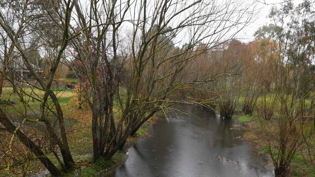
In Adelaide, the temperatures dipped to 4.3C on Tuesday evening as rain thrashed the city, which has surpassed its average rainfall for the month in just three weeks.
Bureau of Meteorology senior forecaster Tom Boeck said Adelaide has received 77mm of rain in August by the 23rd, beating the average of 61.3mm a week early.
It’s the wettest August for Adelaide in four years, after the city received 76.8mm in 2018.
“We’re above average for the year (for rainfall) … so far we’ve had 386.6mm, and normally to the end of August we should be at about 375mm so we’re tracking at this stage higher on a yearly basis,” Mr Boeck said.
But the chilly temperatures are slowly starting to ease as the week progresses, reaching 16C by Thursday and Friday, and up to 18C by Saturday.
Sunday is the pick of the week, forecast to reach 21C with mostly clear skies.
It comes after Adelaide copped a soaking on Monday in another late winter cold snap for South Australia.
The Adelaide Hills regions were the worst hit, with Aldgate receiving 25mm and Verdun seeing 24mm.
Mr Boeck said there is more light rain planned for early next week.
“We’re getting milder for the weekend we’re getting up to 21C on Sunday,” he said.
“But there is another change coming for early next week for Monday, so there’s probably a few more millimetres in that one, so not lots, but some dribs and drabs coming in early next week again.”
Adelaide will reach a top of 14C on Wednesday with some showers expected.
More Coverage


Interest rates could dive below 3 per cent, shaving hundreds off mortgages
Experts are predicting up to four interest rate cuts are on the cards over coming months, shaving $600 off the average Australian mortgage. See the calculator.

‘Jaws locked on’: Beloved dog euthanised after vicious attack
A traumatised dog owner has told how her beloved 13-year-old Maltalier dog suffered horrific fatal injuries after it was viciously mauled by another dog at a public park.