
Wild weather warning for Tweed Heads, Lismore, Coffs Harbour and Port Macquarie
RESIDENTS in northern NSW are being warned to prepare for more heavy rain and strong winds.
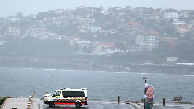
JUST as the clean up begins from the massive killer storm that swept across a large part of coastal NSW last week, SES crews are getting ready to spring into action again today as a low-pressure system prepares to cause flooding and damage in the state’s north.
Largely untouched by the storms that left four people dead and hundreds of millions of dollars worth of damage across the Hunter, Central Coast, Sydney and Illawarra regions last week, the northern rivers and mid north coast is now set to bear the brunt of the severe thunderstorm throughout the next few days.
While the worst of the weather is expected to miss Sydney as much as 100mm of rain is tipped to soak the city over the next four days.
Severe thunderstorm warning issued for the Upper Western, Northern Rivers and Mid North Coast. Check: http://t.co/Ss766eSCrL
— BOM New South Wales (@BOM_NSW) April 29, 2015Strong winds and more than 350mm of rain are predicted to fall near Tweed Heads, Lismore, Coffs Harbour and Port Macquarie between today and Saturday night, with the most intense bucketing expected on Friday.
Wooli River Caravan Park, north of Coffs Harbour, had 75mm of rain dumped on it over an hour this morning and the Bureau of Meteorology has warned of possible flooding along a number of rivers and catchment areas.
The Bellinger and Kalang River valley and the Nambucca River valley could also experience major flooding after the downpour.

The Bureau also warned that the storm front may cause renewed flooding in the Hunter region if it moves further south. It says it will monitor the situation closely throughout the day.
Meteorologist Don White said flood-affected regions in the Hunter could cop up to 70mm more rain in coming days as another east coast low forms off northern NSW, but was confident most of the heavy falls would be concentrated much further north.
“It looks highly likely that an east coast low will develop, but it’s also highly likely that it will develop near Brisbane,” he said.
“It will probably form north of Brisbane on Friday and then move southwards on Saturday which will increase the rainfall on the north coast.”
“So the heaviest rainfall for NSW will be north of Port Macquarie.”

The State Emergency Service wants residents to prepare for the worst.
“They need to think, ‘What to do if’,” an SES spokesman told AAP.
He said residents should make sure they had enough provisions, including medication, non-perishable food and torches.
The SES has responded to most of the 21,000 calls for help they received last week, with just 2100 remaining.
More than half of the remaining calls are from the Hunter region, where the four people died during intense flooding, gale-force winds and hail.
You can show your support for communities in NSW affected by the devastating April storms.
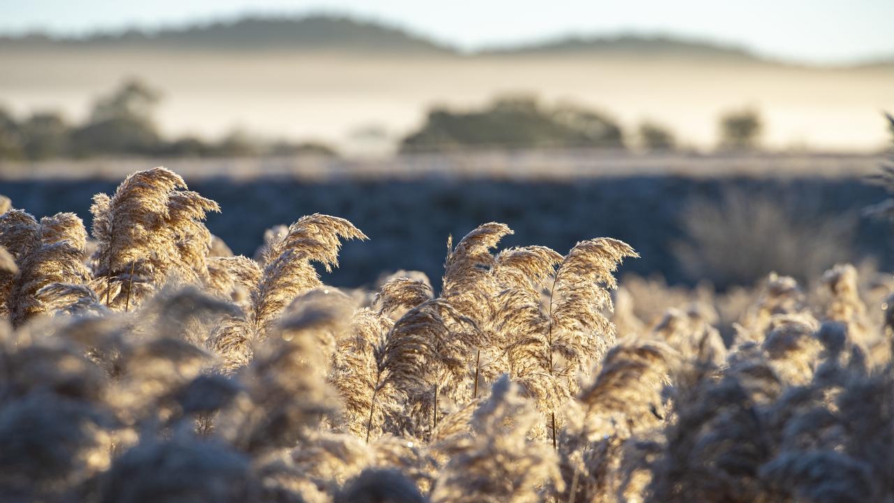
‘I’ve never seen anything like it’
An influx of frost has removed than 50 per cent of possible yield across the Wimmera and Mallee, as farmers urge a focus on wellbeing ahead of harvest.
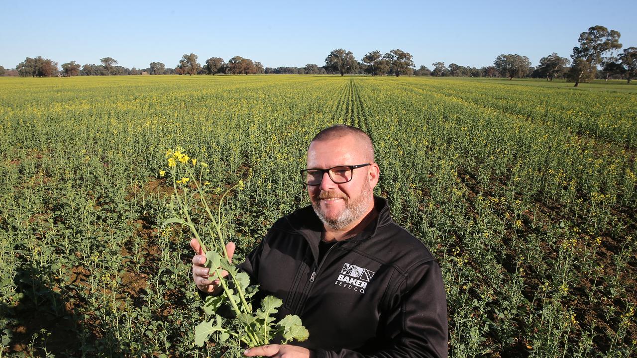
Farmers welcome spring rain
Farmers are tallying up the rain and say recent falls will boost winter crops. See how much has fallen so far.