
Wild weather: 125km/h winds for south of Western Australia
THE first strong cold front of the year dumped heavy rain in the southwest of Western Australia.
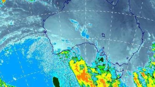
THE first strong cold front of the year dumped heavy rain on the South West and is bringing wild weather to the south of the state, with winds up to 125km/h forecast.
A Severe Weather warning for parts of the South West has been cancelled, but remains in place for the South Coast and South East Coastal area with dangerous weather tipped for parts of the Great Southern and south east through Monday morning.
Strong winds have buffeted the South West overnight with a wind gust of 107km/h reported from Cape Leeuwin at 7.45pm Sunday night and 89km/h at Cape Naturaliste at 8pm.
“The Bureau of Meteorology advises a vigorous south-westerly flow behind a cold front will move over the south of the state Monday morning,’’ the Bureau warns.
“Widespread damaging winds are possible south of a line Albany to Lake King to Salmon Gums to Israelite Bay early Monday morning.
“In isolated areas dangerous gusts in excess of 125km/h could cause significant damage or destruction to homes and property. Winds are expected to ease by 8am Monday morning.
“Thunderstorms with small hail are also possible.
“This is typical weather for this time of the year but winds may cause damage to property and make road conditions hazardous.
“If you live in an area south of a line from Albany to Lake King to Salmon Gums to Israelite Bay continue to take action and stay safe with more dangerous weather to come,’’ Department of Fire and Emergency Services warned.
The cold front moved over the South West capes last night, bringing more than 30mm to some areas.
Pemberton topped the state rainfall with 38mm, Walpole had 33mm, Shannon 31mm, Cowaramup 23mm, Manjimup 20mm, Windy Harbour 18mm and Bunbury and Bridgetown 16mm.
In the Perth Metro area, Bickley in the Hills had 19mm to 8am, Dwellingup, 97km south of Perth, had 16mm, Jandakot 8mm, but Perth city recorded just over 4mm. Swanbourne and Perth Airport had 6mm.
In the far South of the state, Albany Airport had just over 15mm, Rocky Gully 13mm and Esperance recorded 14mm, but more heavy rain is expected throughout the morning.
The Esperance radar shows a heavy band of showers over the area.
In the Great Southern, Frankland had 17mm, Bannister 13mm, Wagin 10mm, Wandering 8mm and Katanning 5mm.
Perth is in for a showery day with a 50 per cent chance of rain, the possibility of small hail, strong south-westerly winds and a top of 18C.
And rug up tonight, as the mercury is tipped to drop to just 5C overnight — the coldest night of the year — due to the mass of cold air associated with the cold front which is dominating weather in the south of the state.
The week ahead
Tuesday: Min 5C Max 20C
Wednesday: Min 7C Max 21C
Thursday: Min 8C Max 23C
Friday: Min 8C Max 23C
Saturday: Min 9C Max 22C.
Sunday: Min 8C Max 23C.
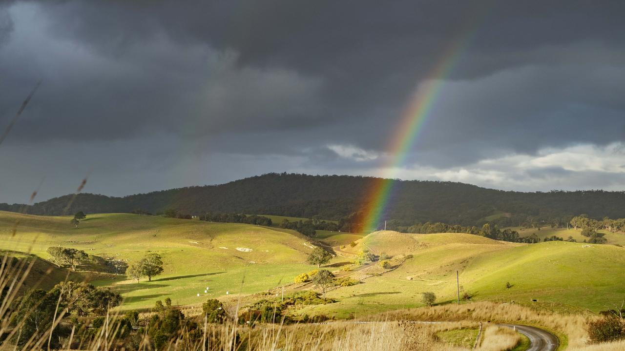
Southern Victoria gets a July soaking
Parts of Gippsland and the Western Districts received strong rain totals in July. See the rainfall totals around the state.

SA MPs urging drought assistance for farmers
Crossbench MPs are keen for SA Agriculture Minister Clare Scriven to increase funds for drought-stricken farmers.