
We’re on ‘El Nino alert’ but it’s still wetter than normal
EL NINO is stalking the nation, and its effects are being felt in inland Queensland, but on the coast rain just keeps coming.
EL NINO is stalking the nation, and its effects are being felt in inland Queensland, but on the coast the rain just keeps on coming.
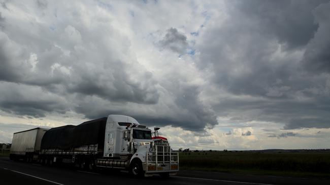
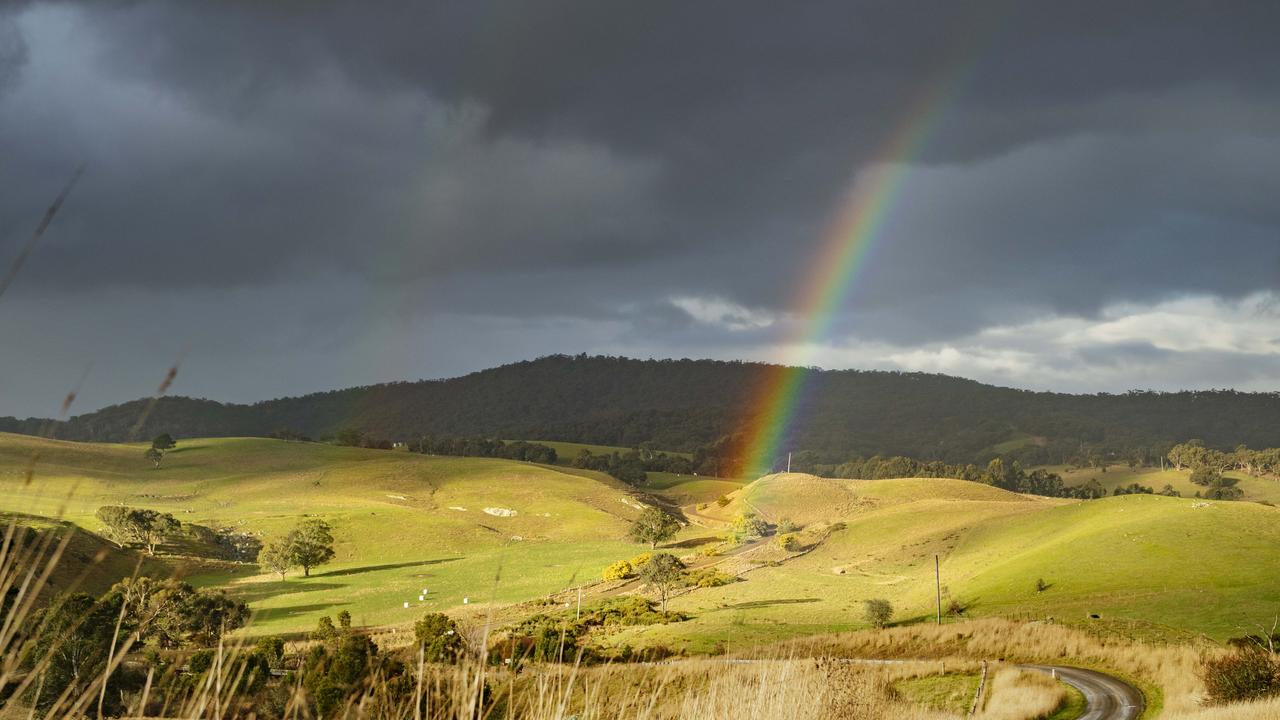
In the past six months, rainfall has ranged from average, through above average to highest on record from Gippsland to Bundaberg. Most of the rain has fallen east of the divide, and has flowed to the coast, away from the Murray-Darling Basin.
In January, the national mean temperature was just 0.02C above average, as recent high anomalies were suppressed by a national maximum average nearly half a degree cooler than normal.
Last month was a cool one for nearly the whole country. Maximum temperatures were up to 5C below normal outside the northern quarter of the continent.
And despite indicators in the Pacific pointing to a strong possibility of an El Nino — triple the normal chance of one occurring in the next month or two — the national outlook to the end of July is for wetter than normal conditions over most of Australia, except for the tropical north and Tasmania.
The Bureau of Meteorology says “ENSO (El Nino Southern Oscillation) indicators in the tropical Pacific are approaching El Nino levels’’.
Sea surface temperatures are higher than El Nino thresholds and trade winds have remained weaker than average for several weeks. El Nino is linked to warmer and drier conditions in the north and east of Australia.
“This suggests some coupling between the ocean and atmosphere may be occurring. If these patterns persist or strengthen, El Nino will become established.’’ The bureau is on “El Nino alert’’.
Most of the country, except for the top end and the southwestern and southeastern extremities, can expect lower than normal maximum temperatures until the end of July. Minimum temperatures are expected to be higher than normal except for average conditions in Western Australia.
University NSW climate researcher Agus Santoso said recent rain on the eastern seaboard was driven by factors separate from the ENSO process.
Sea surface temperatures off the east coast had been “a bit warmer than normal’’ in recent months, Dr Santoso said, which was a factor in rainfall in the region this year. Sea surface temperatures have been rising for decades around Australia, more so to the south.
Read more on The Australian.
Southern Victoria gets a July soaking
Parts of Gippsland and the Western Districts received strong rain totals in July. See the rainfall totals around the state.

SA MPs urging drought assistance for farmers
Crossbench MPs are keen for SA Agriculture Minister Clare Scriven to increase funds for drought-stricken farmers.