
East coast low in southeast Queensland to bring storms and rain
AN EAST coast low, similar to what smashed parts of NSW last week, is likely to form off southeast Queensland this week.
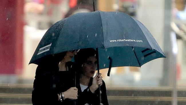
BRACE yourselves. An east coast low, the same type of weather system that flooded parts of NSW last week, is likely to form off southeast Queensland on Thursday.
It could bring thunderstorms and falls of up to 200mm on Thursday and Friday although so far it does not appear to be as heavy an event as that which hit NSW.
Weather Bureau forecaster Michael Paech said an upper tough coming through would produce substantial instability although the forecast would be refined closer to the event.
Areas most likely to get rain would be the Wide Bay and Burnett, the Darling Downs and the southeast.
Unfortunately, the drought-hit west would miss out.
“The far southeast corner should range from 50mm to 120mm over a couple of days and perhaps heavier falls to 200mm in localised places,’’ Mr Paech said.
“There’s still a few days to go so there’s a bit of uncertainty about it, especially where the major activity will occur.’’
The bureau’s NSW regional director Barry Hanstrum said there was potential for an east coast low to develop off the southeast Queensland and northern NSW coasts.
It was the same type of weather systems that flooded parts of the Hunter Valley last week.
“What we do know is that most of the forecasting guidance shows a low pressure system developing off the northern NSW coast but we are not able to determine the exact position, timing and intensity of the system this far out,” Mr Hanstrum said.
“Early indications suggest the main impacts of intense rainfall and strong winds will be on coastal areas in the states northeast including the northern rivers and mid north coasts, with heavy falls also likely for southeast Queensland.
“Further rainfall is likely for catchments that have already experienced flooding during last week’s severe weather event.’’
Mr Paech said the moist conditions would keep temperatures low during the day, down to 22C on Thursday, but help hold temperatures up at night.
Dry conditions would return on the weekend.
‘I’ve never seen anything like it’
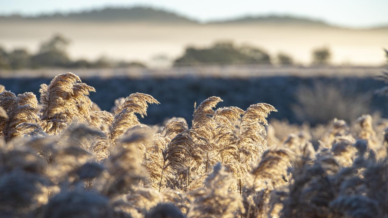
An influx of frost has removed than 50 per cent of possible yield across the Wimmera and Mallee, as farmers urge a focus on wellbeing ahead of harvest.
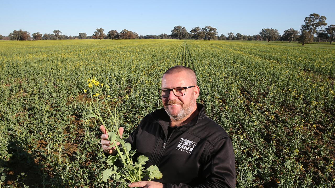
Farmers welcome spring rain
Farmers are tallying up the rain and say recent falls will boost winter crops. See how much has fallen so far.