Concerns over flood risk in the Murray
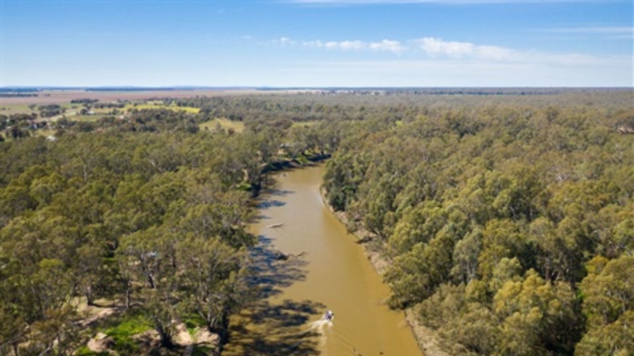
Landholders along the Murray River are being urged to check their property insurance policy with forecasts showing flood risk zones have changed.
Landholders along the Murray River are being urged to check their property insurance policy with forecasts showing flood risk zones have changed.
More than 10,000 homes along the waterway in NSW and Victoria alone will be uninsurable against flooding by 2030, based on an increased likelihood of severe flooding, according to risk analysis firm Climate Valuation.
Hundreds of properties at Mulwala, Echuca, Moama, Barmah, Piangil, Euston and Wentworth have been categorised as high risk for flooding, meaning it would be practically impossible for those homeowners to secure insurance for their properties over the next decade.
In the towns of Wentworth and Mulwala an estimated 80 per cent of properties will be uninsurable by 2030.
As Dartmouth Dam spills for the first time in 26 years, Climate Valuation chief executive Karl Mellon said homeowners should be speaking to their insurers.
“In many areas the flood risk has gone up by about 20 per cent since 1990,” Mr Mellon said.
That meant homes that were once considered low risk for flooding may now be at risk, and the likelihood of a flood in a one-in-100-year flood zone had increased, he said.
Climate Valuation’s analysis was based on climate forecasts that showed higher global temperatures led to more moisture in the atmosphere and more extreme rain events, particularly in La Nina seasons.

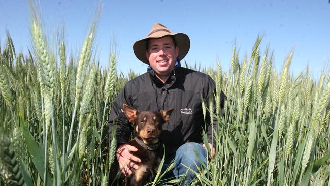
Koondrook property owner Lloyd Polkinghorne, whose property borders the Murray River, said he was concerned floods this season could be more severe than previous years.
River management policies that maintained artificially high river levels through summer had degraded river banks and left them more vulnerable in a flood, he said.
“Erosion is a natural part of the river system, but the rate of erosion we’re seeing now is changing the shape of our banks,” Mr Polkinghorne said.
“That’s concerning, because now we have the banks in a compromised state, and we’re coming to what is essentially a natural flow with high rainfalls in a very wet basin.
“It is concerning what that will do to infrastructure and ecosystems and habitats.”
Mr Polkinghorne said insurance premiums had increased in recent years and some of his neighbours were unable to access insurance. Meanwhile property owners were facing higher costs for flood damage.
“We’re seeing people’s fences falling into the river. We’re seeing people’s pump sheds that have been on the river for a good 60-70 years being undercut and at risk of falling in. That will pass on huge costs to farmers,” he said.


