
Flood watch warning in Gippsland: Victoria’s east to be battered by strong winds and heavy rain
The wild weather system that sparked chaos in NSW is bearing down on Victoria, bringing storms and potential floods.
A flood warning has been issued for Victoria’s east coast as a low pressure system moves south from New South Wales.
The alert was issued on Tuesday for parts of East Gippsland and West and South Gippsland, with a blast of damaging winds and heavy rain expected to reach by the afternoon.
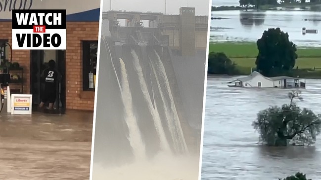
It comes as mass evacuations continue in NSW as torrential downpours cause the worst floods in decades in parts of the state.


The Bureau of Meteorology said parts of Gippsland would be hit by damaging winds with peak gusts of 90 to 100 km/h by Tuesday afternoon and into the evening.
Winds were expected to ease by Wednesday morning, the bureau said.
Heavy rainfall was due to drench Orbost and the area west of Sale, near the Strzelecki Ranges.
A flood watch was issued for the Bemm, Cann, Genoa and Snowy River catchments, and a minor flood warning for the Snowy River.
Locations which may be affected include Yarram, Mallacoota, Cann River, Chandlers Creek, Combienbar and Bonang.
The blast of wet weather was due to a low pressure system from NSW making its way through the east of the state.
Senior meteorologist Richard Russell said the system would bring increasing rainfall across east Gippsland before spreading into southern Gippsland, particularly the Strzelecki Ranges, and the Otway Ranges.
“(On Tuesday) we‘re looking at this low pressure system rapidly intensifying across NSW and it will track quite quickly towards the south coast of NSW by late Tuesday afternoon and early evening,” he said.
“It will intensify further and then move over the East Gippsland coastal waters where it will sit for most of Wednesday before finally moving away.”
He said from midday Tuesday through to Wednesday night, localised rainfall totals of 80-120mm were possible east of Orbost, with 150-200mm possible about the Strzelecki Ranges and Wilsons Promontory, and 100-150mm possible about the Otway Ranges.
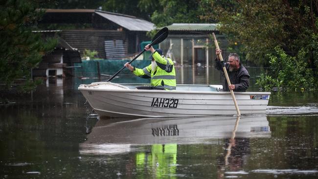
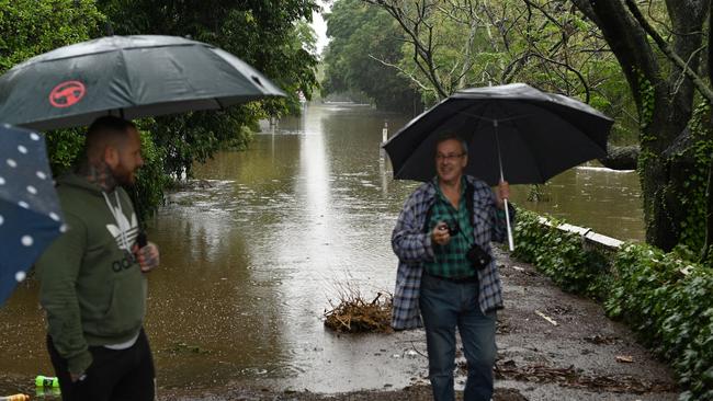
“The heavy rainfall that we’re looking at could also lead to some localised flooding, so that’s rapid water rises not just involving rivers but gullies, creeks and areas that don’t generally get a flood warning associated with it,” Mr Russell said.
“We have some quite significant winds around that low pressure system that will intensify late (on Tuesday) with some potential for some damaging wind gusts across much of the Gippsland coast.”
He said Melbourne had “missed the worst of it” with just patchy showers through until Wednesday afternoon.
“If that low centre does unfortunately move west of the Prom, the impacts will be much higher in Melbourne, but having said that the expectation for rainfall in Melbourne is around 5-15mm,” he said.
Mr Russell reassured Victorians the impact in the state wouldn’t be anywhere near that of NSW and Queensland.
“The quite humid tropical air mass feeding across eastern Australia is more intense and feeding onto the NSW and Queensland ranges so the orientation of the Great Divide plays a big role,” he said.
“Also the position of the high pressure system for much of the week over the southern Tasman Sea has kept most of that activity further north from us.”
A flood watch has been issued for the Bemm, Cann, Genoa and Snowy River catchments, with a minor flood warning current for the Snowy River.
The State Emergency Service warned residents in affected areas to avoid dangerous hazards, such as floodwater, mud, debris, damaged roads and fallen trees and to stay inside away from windows if possible.


Originally published as Flood watch warning in Gippsland: Victoria’s east to be battered by strong winds and heavy rain

Mass wedge-tailed eagle killing case concludes
A five-year legal battle about the deaths of more than 120 wedge-tailed eagles has ended, following the passing of the woman accused.

Bits of wind farm blades go flying
Pieces of wind turbine from one of Australia’s largest wind farm projects have been blown onto a neighbouring farm and roads.