
Fire boundary changes hike blaze risk level in Black Saturday zones
Most Victorians are more exposed to the impacts of fire, after a State Government agency raised the level of residual risk it deems acceptable across the most dangerous zones.
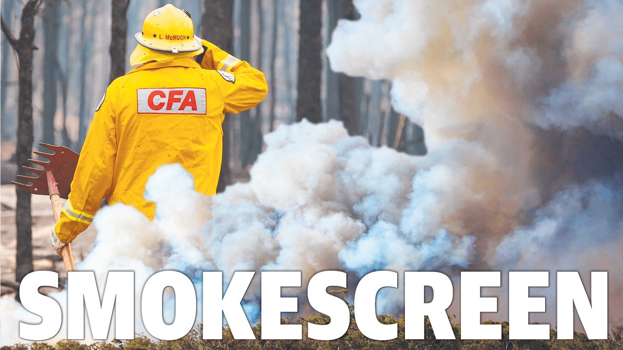
THE Andrews Government is using the smoke screen of fire boundary changes to lift the level of risk most Victorians face from the ongoing build-up of fuel loads in Black Saturday’s worst-hit zones, leaving them more exposed to loss of homes and lives.
After repeatedly failing to keep fuel loads in check the Government’s Forest Fire Management Victoria agency simply raised the level of residual risk it deemed acceptable across the most dangerous fire zones.
The move went unnoticed until The Weekly Times examined archived snapshots of FFMVic’s website, which showed it had raised its residual risk targets across the state’s most dangerous fire zones.
Date-stamped archived internet pages show that after redrawing its fire zone boundaries, it had lifted the acceptable risk levels between March 12 last year and January this year, from:
80 to 85 per cent across the Port Phillip Zone, extending from Melbourne out to Kinglake, the Yarra Ranges and Bunyip State Park.
60 to 70 per cent across the state’s North East.
65 to 70 per cent in Gippsland.
The higher the risk, the higher the fuel loads close to homes, leaving more Victorians exposed to losing their lives on catastrophic code red days.
In the lead-up to Black Saturday the build-up of fuel loads had pushed the residual risk levels to 80 per cent across the worst hit Kinglake-Marysville zone, where most of the 2133 homes and 173 lives were lost.
The nation’s top bushfire scientist Kevin Tolhurst has accused the Government of being “sneaky buggers” in arbitrarily resetting the numbers, without bothering to consult the communities at risk.
“To me that level should be something that is acceptable to the community,” Professor Tolhurst said. “They’ve raised it (the risk target) just because it’s easier to achieve.”
Prof Tolhurst and his colleague Derek Chong, developed the Phoenix Rapid Fire computer model, which is used by FFM Vic to calculate residual risk.
Originally the Government set an average residual risk target of 70 per cent for the state.
“If the residual risk for the new Port Phillip region is 85 per cent, then that implies that the level of house loss (over 2000 houses), was acceptable (on Black Saturday),” Prof Tolhurst said.
“I don’t believe the extent of impact on peoples’ homes and livelihood would be generally considered ‘acceptable’.”
“The level of risk should not just be determined by a government agency based on what seems achievable given a certain level of resources.”
A risk level of 100 per cent equates to no fuel reduction burns being conducted at all, resulting in impacts of a fire with maximum fuel loads.
Redrawing the boundaries has also allowed FFMVic to split Victoria’s highest risk East Central bushfire zone between three new lower risk zones — Port Phillip, Hume and Gippsland.
The internet archives show that in 2018 FFMVic stated that in the East Central Zone: “fuel management activities in the FOP (fire operations plan) will slow this increase to a projected 77–79 per cent, but without planned burning residual risk will continue to rise, to a projected 84 per cent by 2020”.
In December 2018 The Weekly Times reported, what was then called the East Central zone’s residual risk had hit pre-Black Saturday levels of 80 per cent.
At the time Department of Environment, Land, Water and Planning Port Phillip Assistant Chief Fire Officer Chris Eagle told The Weekly Times: “The residual risk target for the state is 70 per cent, as per the Safer Together policy, and the residual risk target for the East Central Bushfire Risk Landscape (BRL) is 80 per cent”.
But this week a FFMVIC spokesman told The Weekly Times the 80 per cent figure was a mistake and the Port Phillip zone “has always been 85 per cent, despite the temporary error on our website”.
The spokesman said the original boundary changes had been made in 2017, which had then led to some risk ratings going up “due to the inclusion of more fire-prone areas – however, it had no effect on the statewide risk rating, which remains 70 per cent”.
“The targets have gone up in Hume Region (previously reported as Alpine and North East Bushfire Risk Landscape) because of the addition of the Murrindindi District from the East Central BRL.
“The Gippsland Region (previously reported as Alpine and Greater Gippsland BRL) has gone up because of the addition of the Latrobe District from the East Central BRL”.
EDITORIAL: VIC LEADERS LACK TRANSPARENCY
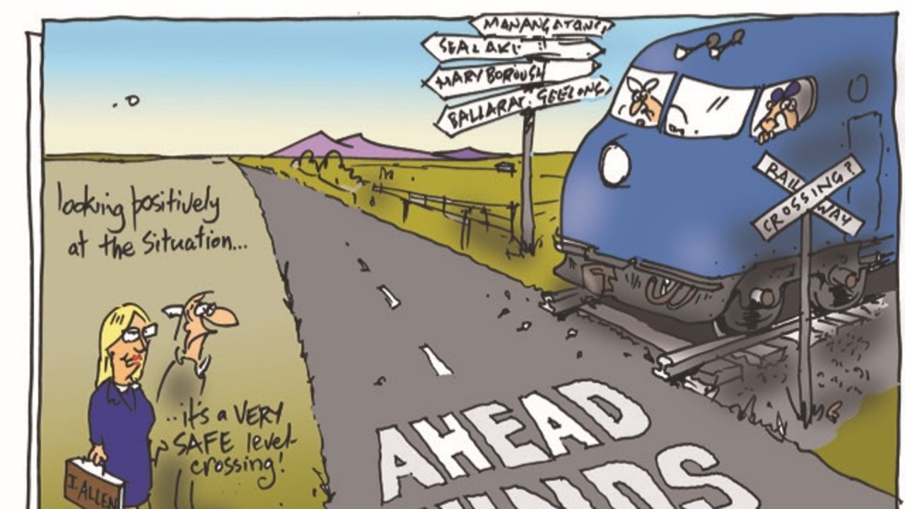
FFMVic, Premier Daniel Andrews and his senior ministers have repeatedly refused to release a full set of fuel load maps for Victoria’s bushfire zones, first stating in the lead-up to last summer’s catastrophic fire season that they were only for internal “business” use, and then more recently claiming they could be used by arsonists.
Up until the Andrews Government was elected in 2014, both the former Baillieu-Napthine Coalition and Brumby Labor Governments had committed to the 2009 Victorian Bushfires Royal Commission’s recommendation to “fund and commit to implementing a long-term program of prescribed burning based on an annual rolling target of 5 per cent minimum of public land”, equal to 385,000ha annually.
But in 2015 the Inspector General of Emergency Management Tony Pearce reviewed the target and recommended it be dumped and replaced with the computer-modelled measure of residual risk.
It is Mr Pearce who is conducting the Victorian Government’s current inquiry into the preparedness and response to the 2019–20 summer fires.
FFMVic annual reports show it has fallen well short of the Royal Commission’s original 385,000ha annual target, conducting:
197,940ha of controlled burns in 2015-16
125,052ha in 2016-17
74,728ha in 2017-18
130,000ha in 2018-19
Professor Tolhurst said the sad fact was Victoria was relying on bushfires to reduce fuel loads, rather than good management.
“Most of the impact seems to do with wildfires, not to do with management, which is perverse in itself,” Prof Tolhurst said.
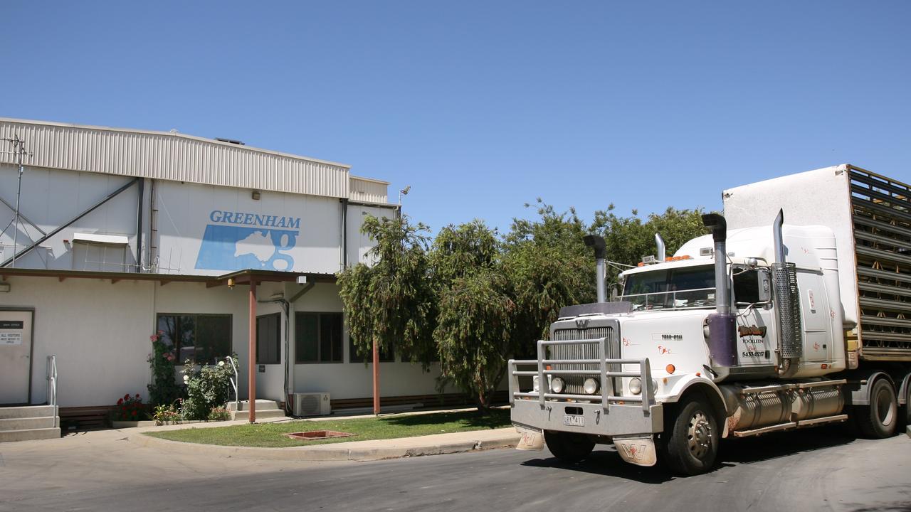
‘No one knew it was coming’: Tongala cow abattoir shuts
The livestock industry and local community have reacted to Greenham’s closure of its Tongala cow processing plant.
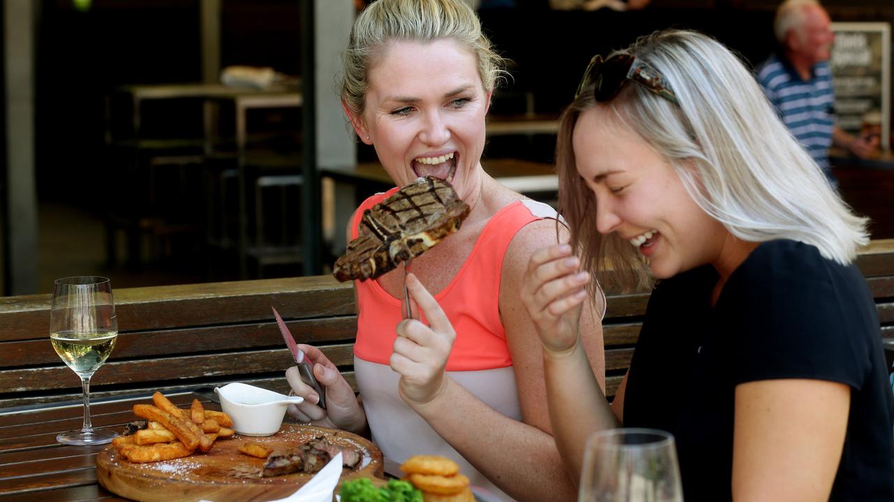
Victorians want to feel guilt-free about eating meat
Research – to guide a Victorian Government-funded pro-agriculture campaign – has revealed how consumers feel about the state’s farmers and what issues need to be addressed.