
Black Summer bushfire estimate was out by 9 million hectares, according to satellite data
Nobody would deny the Black Summer bushfires were a catastrophe – but new data shows the devastated area was 24 per cent smaller than originally estimated.

Australia’s Black Summer bushfires burnt through an area 24 per cent smaller than previously estimated, new satellite data suggests, making it overall an “average fire year” according to experts.
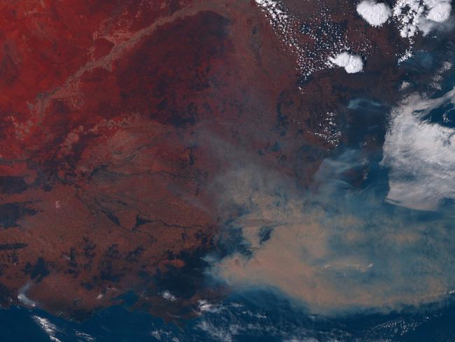
In a comment piece released today in the journal Nature, a team of researchers led by Professor David Bowman from the University of Tasmania argue that while official government figures state that bushfires consumed 39.8 million hectares in 2019-20, analysis of satellite images suggest 30.38 million hectares was actually burnt.
The satellite images revealed patches of unburnt vegetation within fire grounds, the researchers said, while inconsistencies in data collection by the states and territories also contributed to the federal government over-estimating the area burnt by 9 million hectares.
The authors of the paper have called for the creation of a dedicated national monitoring agency to ensure bushfire policy is informed by the best-quality data.
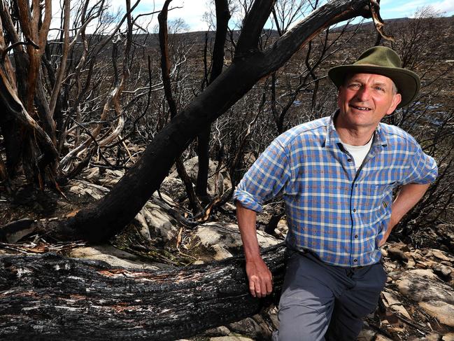
Prof Bowman told News Corp there had been “no consistent agreement on the domain of those fires”.
“Overall, for the year in which these fires occurred – July to June – it was actually an average fire year. The real standout was the area burnt in the eucalyptus forests; that was extraordinarily anomalous,” he said.
The satellite images showed 18 per cent of Australia’s eucalypt forests burnt in 2019-20, whereas between 2001-18 the average amount burnt per year was two per cent.
“Eucalypt forests are highly combustible vegetation types,” Prof Bowman said. “They can sustain some of the most intense fires on Earth. When everything lines up, these things can burn at phenomenal intensities.”
Another standout feature of the Black Summer bushfires was the number of “fire thunderstorm” events they spawned, Prof Bowman said. While there was some conjecture as to the actual number, there may have been as many as 17, he added.
“These are hugely intense and unmanageable fires, like small atomic bombs in terms of their energy. The smoke plumes go up into the stratosphere,” he said.
Professor Chris Dickman from the University of Sydney, whose estimate that one billion animals may have perished in the fires made headlines around the world in January, said he agreed with the fundamental premise of the paper.
“We need a co-ordinating bushfire agency, and it’s an oversight that we’ve never had one,” he said. “But we need to go beyond the fires. We need to have monitoring in place to understand the ecological effects.”
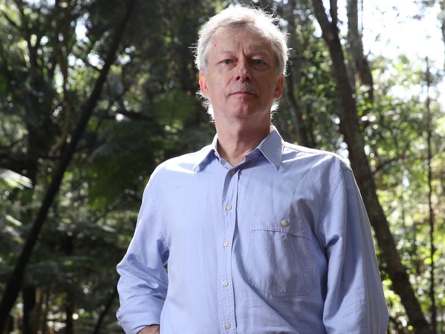
“Satellites will give you what’s burnt from the top, but won’t tell you about the understorey or ground cover, where most of the animals live,” Prof Dickman said.
Prof Bowman acknowledged that relying on satellite imagery had shortcomings.
“The satellites are much better at discriminating the burnt and the unburnt areas,” he said. “But they aren’t perfect because a low severity fire which doesn’t destroy the canopy doesn’t register on a satellite.”
Originally published as Black Summer bushfire estimate was out by 9 million hectares, according to satellite data

Bizarre e-bike prang stuns Aussies
Viral dashcam video shows an e-bike rider crashing into a car at an Australian roundabout, then refusing to give details despite being at fault.

Knives seized in shopping centre brawl
Two men have been arrested and knives seized following a brawl at a Sydney shopping centre.