
Extreme weather forecast for Australia Day weekend
From a tropical cyclone to flooding and extreme heat, many Australians are in for wild weather this weekend. See what’s in store.


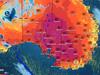
A cyclone in one state, an extended heatwave in another and pleasant conditions elsewhere: Australia Day is shaping up to be a vastly different experience across the country in 2024.
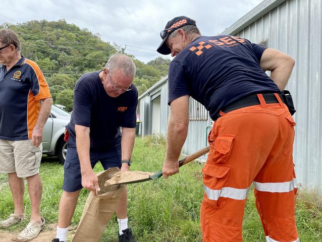
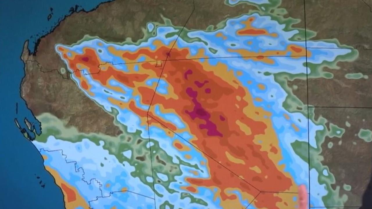
Cyclone Kirrily was forecast to make landfall on Thursday night, impacting the Queensland coast between Cardwell and Bowen as a category two system.
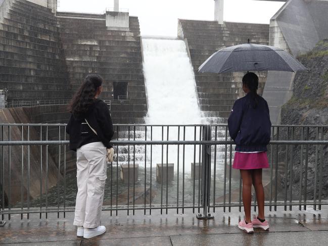
The Bureau of Meteorology has forecast the system will develop into a tropical low on Australia Day, bringing heavy rainfall across central and western Queensland. Some reports suggested areas could receive up to a metre of rain, with high danger of flash flooding.
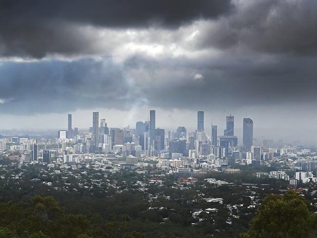
Australia Day conditions are set to be warm and wet in Brisbane, with the Bureau forecasting a high of 31° and a 50 per cent chance of rain, with even warmer and wetter conditions likely over the weekend.


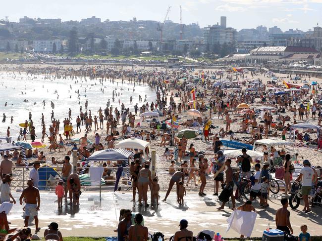
Sydney could be just as muggy, heading for an expected top of 35° on Australia Day and a high chance of rainfall before temperatures drop back to the mid 20s on the weekend.
Melbourne and Adelaide should see generally fine conditions and temperatures in the low to mid 20s, while Hobart and Canberra might get a shower or two.
Meanwhile Perth is set for a high of 33° on Friday, as the west continues to bake in an extended heatwave.
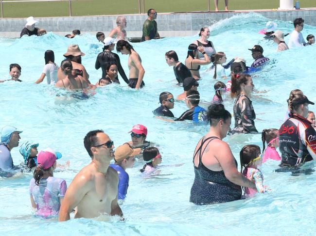
HEAT WARNING
Historically, January 27 has been identified as the deadliest day for heat-related deaths in Australia, and this year could be no different, with Saturday maximums forecast to hit 35° in Perth, 34° in Brisbane and 31° in Darwin.
The advocacy organisation Sweltering Cities has called on Australians to check in on people who might be at risk in the heat, particularly if they live on their own.
“Not only does isolation put people at risk during heatwaves, but heatwaves can also increase isolation,” executive director Emma Bacon said.
“More than 45 per cent of respondents in our 2022 national Summer Survey said that they avoid socialising on hot days.”
“It’s time to call Nan, text your friend who lives in a hot home, or drop in on family who might be struggling to keep little kids cool on hot days,” Ms Bacon said.
A 2023 study by the Australian Council of Social Service stated heatwaves were responsible for 36,000 deaths between 2006-17.
ARE WE GETTING MORE CYCLONES?
Cyclone Kirrily is the second tropical cyclone to impact Far North Queensland this season, after Cyclone Jasper made landfall north of Cairns between December 1-16.
This week the Insurance Council of Australia estimated the cost of claims from Jasper and concurrent storms to be in excess of $743 million.
While cyclones in quick succession might be a source of despair for locals and emergency crews, Queensland is no stranger to them: Cyclone Lucas made landfall north of Cooktown on Australia Day in 2021, while Cyclone Niran came close to Far North Queensland just five weeks later.
In its pre-summer outlook, the Bureau of Meteorology said there was “likely to be a below average number of tropical cyclones for the 2023–24 Australian tropical cyclone season (November to April).”
In an average season, four tropical cyclones make landfall; Jasper and Kirrily are the only two to do so, thus far.
ARE THE CURRENT CONDITIONS UNUSUAL?
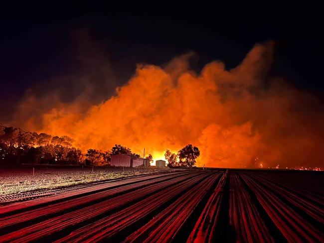
Not really. “October to April is the peak time for severe weather in Australia including heatwaves, bushfires, tropical cyclones, severe thunderstorms and floods,” the Bureau stated in its outlook in October.
But the Bureau has been criticised for raising concern about El Nino conditions this summer, given the exceptionally dry conditions normally associated with that term haven’t eventuated in many regions. (Some areas in NSW, Victoria, Queensland and South Australia had December rainfall totals that were four and even five times their December average.)
Professor Roger Stone, Professor Emeritus in Climate Science at the University of Southern Queensland, said the current El Nino was similar in character to the one in 1997, with a lack of rainfall affecting the WA coast rather than eastern Australia.
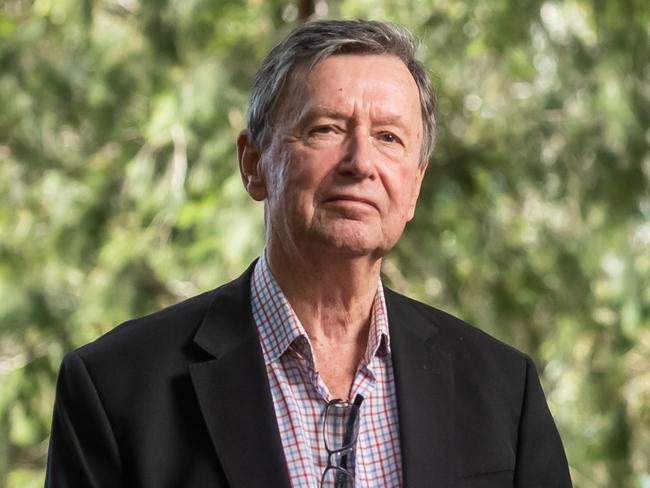
Prof Stone said a number of forecast systems had picked up differences in this season’s El Nino.
“[The Bureau’s] seasonal climate forecast system is a hybrid between its own models and that of the UK Met Office. I’m not sure it did so well,” he said.
In its climate driver update this week, the Bureau said a return to neutral conditions (that is, neither El Nino or La Nina) were expected to return by Autumn.
Two other current climate drivers – the Southern Annular Mode and the positive Indian Ocean Dipole – were also near their end, the Bureau said this week.
WHAT RECORDS HAVE BEEN BROKEN THIS SEASON?
Summer is far from over, but many climate records have already been set this season, mainly for rainfall.
Western Australia has seen some extremely high temperatures, with temperatures reaching 48.7 in Onslow and Emu Creek Station on January 21, but this is still a way off the all-time Australian record of 50.7, recorded in Onslow in January 2022 and Oodnadatta in South Australia In January 1960.
Here’s a breakdown of records we’ve already seen fall this season:
NSW AND ACT
– Fourteen sites across NSW recorded their wettest-ever December day (including three in Sydney).
– Fifteen sites across NSW recorded their wettest-ever December.
– On December 9 Sydney Airport recorded its highest ever December temperature (43.5°). – Narooma in the state’s south also recorded its lowest ever December temperature on Christmas Day (6.8°).
VICTORIA
– Twenty-one sites across the state recorded their wettest-ever December day (including Cape Schanck in Melbourne).
– Twenty-four sites across the state recorded their wettest-ever December – with three of those records standing for more than a century.

QUEENSLAND
– Nineteen sites across the state recorded their wettest-ever December day; in Cooktown, Mulgrave Hill, Mossman South, Kuranda, Mareeba, Mount Carbine, Butcher Hill, Whyanbeel Valley and White Cliff Point the new records were more than double the old records.
– Thirteen sites across the state recorded their wettest-ever December; in Mulgrave, Walkamin, Butcher Hill and White Cliff Point the new records were more than double the old records.
Six sites across the state recorded their highest ever December temperature, including Mount Isa Aero, where the mercury hit 45.4° on December 30.
– Two sites across the state recorded their lowest-ever December daily maximum temperature.
Birdsville Airport recorded a maximum temperature of 47.2° on January 23, although even that was not enough to break the record for that site – 49.0°, set in 2013. But it did break the record for the highest minimum temperature ever recorded in the state during January – a stifling overnight “low” of 35.2°.
SOUTH AUSTRALIA
– Twenty-two sites across the state recorded their wettest-ever December day (including Noarlunga in Adelaide’s south which copped 40mm on December 10).
– Twenty-seven sites across the state (including eight in Adelaide) recorded their wettest-ever December – and five of those records had stood for more than a century.
– Thirty sites across SA (including four in Adelaide) recorded their lowest-ever December daily maximum temperature, with a cold snap on the 9th and 10th.
WESTERN AUSTRALIA
– Three sites across the state recorded their hottest-ever December day, with Marble Bar hitting 49.3° on the 30th and Roebourne reaching 49.5° on the 31st.
– Three sites across the state recorded their lowest-ever December daily maximum temperature; curiously, Marble Bar was one of them, with the mercury reaching just 20.1° on the 13th.
TASMANIA
– Four sites across the state recorded their wettest-ever December day.
NORTHERN TERRITORY
– Two sites across the territory recorded their hottest-ever December day, with the mercury hitting 46.6° on the 19th.
– Three sites across the territory recorded their lowest-ever December daily maximum temperature, with a cold snap on the 11th.
More Coverage

Originally published as Extreme weather forecast for Australia Day weekend
Join the conversation
Millions to be battered by severe storms
One state is set to experience severe thunderstorms, heavy rainfall, and destructive winds as two large weather systems move across the country.
Read more
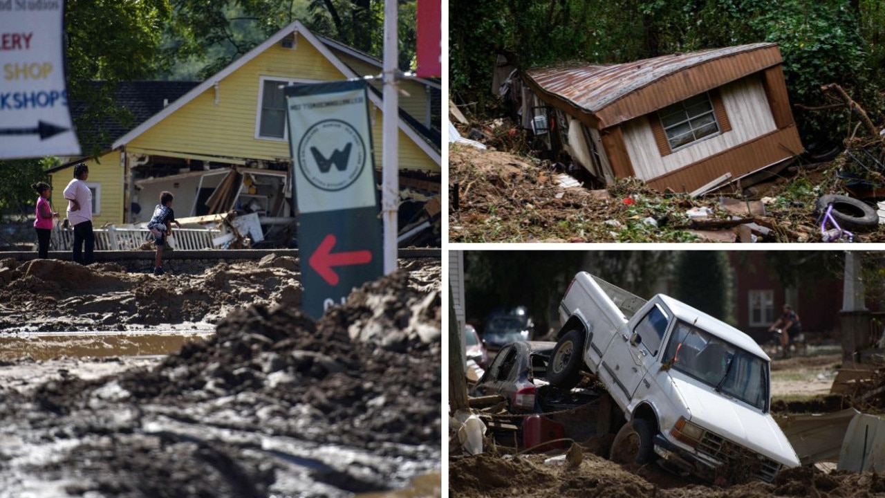
‘Incredible destruction’: Death toll soars after Hurricane Helene
At least 119 people have died across six US states and officials believe there could be more, with hundreds reported missing in the destruction. See the photos.
Read more