Millions of Aussies to endure ‘abnormally hot’ severe heatwave as storms set to batter SA, WA and Qld
Millions of Aussies are expected to continue to battle through an unrelenting heatwave, as severe thunderstorms are forecast for some areas.
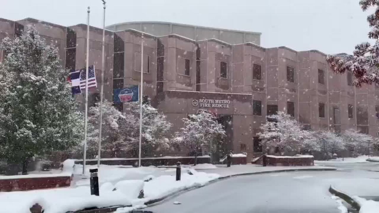
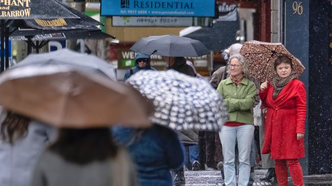
Millions of Aussies awoke to signs of snow and unseasonly chilly conditions on Sunday morning, while others woke to an intense heatwave, with some areas facing above-average temperatures, and severe thunderstorms at the same time.
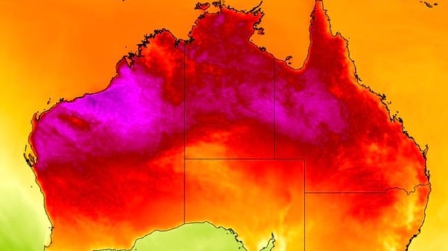
The Bureau of Meterology issued a three-day heatwave warning to the Norrthern Territory, Central Queensland and northern parts of Western Australia on Sunday, with searing hot temperatures set to tip the low forties.
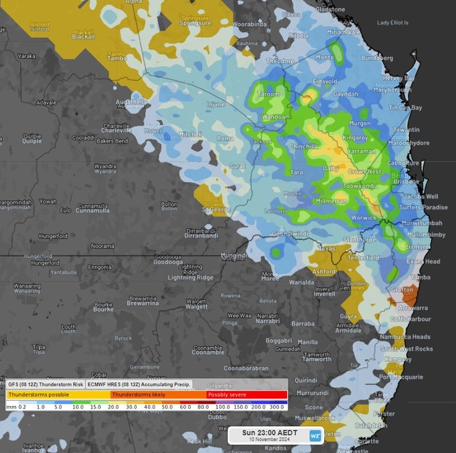
The Bureau of Meterology has issued thunderstorm warnings for residents in norther South Australia, Western Australia’s interior and southwest Northern Terrirtory, with localised thunderstorms across parts of Queensland.
On the other side of the country, conditions are extremely different. In Tasmania, Victoria and southeast South Australia, residents have woken to extremely cold conditions, with some seeing snow in the highlands of Tasmania and recording a minimum temperature of -0.8C.
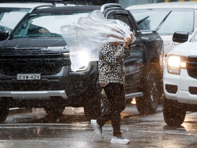
Residents have been warned of possible hail and damaging winds as severe thunderstorms hit northwest South Australia, the interior of Western Australia, and southwest Nothern Territory, with possible thunderstorms passing through central Queensland and intensifying in the southeast region, including Brisbane.
While it will be very wet, the extreme hot conditions are going to continue for residents in the north of Australia, with some inland areas not cooling past 30C overnight.
The Queensland Fire Department (QFD) has extended a local fire ban for Northern Region residents as the heatwave battles the state.
The local fire ban will now be in place until 11.59pm on Monday for residents in the Charters Towers, Flinders, Croydon, Etheridge Local Government Areas and Richmond Local Government Areas only.
“Under a local fire ban all open fires are prohibited and all Permits to Light Fire which have been issued in the designated areas have been suspended for the duration of the ban,” QFD stated.
“Power tools may be used during a local fire ban however QFD encourages people to use these with extreme care and ensure adequate equipment is available to extinguish any fire which may start.
“This may include having a person available to watch out for any ignitions that occur.”
It comes as a hot air mass over the country’s north caused temperatures to exceed 45C at six separate locations in Western Australia, Queensland and NSW – getting as high as 45.9C at Roebourne in WA’s Pilbara region.
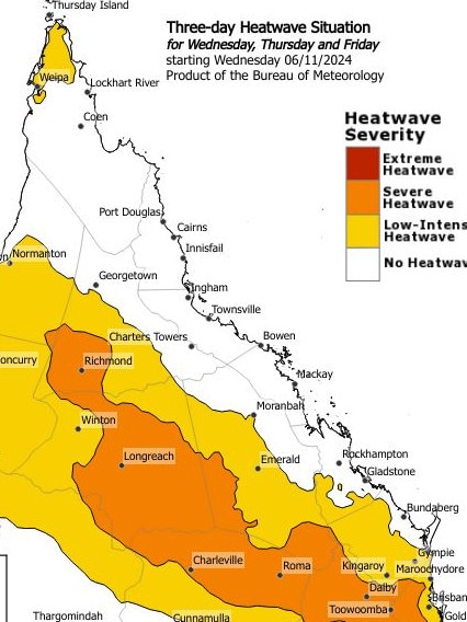
The “abnormally hot” temperatures are set to remain elevated amid a three-day heatwave warning for parts of Queensland.
The severe heatwave warning, issued by the Bureau of Meteorology (BOM), covers the Peninsula, Gulf Country, Northern Goldfields and Upper Flinders, Central Highlands and Coalfields, Central West, North West, Maranoa and Warrego, Darling Downs and Granite Belt, Wide Bay and Burnett and Southeast Coast forecast districts.
Brisbane is forecast to hit maximum temperatures of 30C over Sunday and Monday, before dipping back down to 28C on Tuesday.
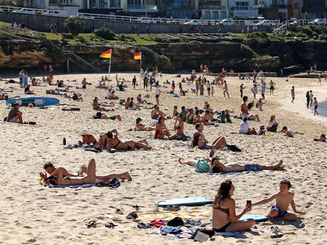
According to Weatherzone, the heatwave gripping the three states is “abnormally hot” for the month of November.
“In the Pilbara, Onslow Airport’s running average maximum temperature for the first week of November was 39.4C, which is 5C above the long-term average,” a Weatherzone spokesman said.
Residents in Brisbane should brace for heat, with a top of 30C expected on Sunday with scattered showers and localised thunderstorms in the afternoon, which will continue through the week. Conditions will remain cloudy all day in Sydney, with a maximum temperature of 26C on Sunday before droppingg down to the low 20s during the week. Residents in Melbourne will have a partly cloudy day, with a maximum temperature of 20C and moderately strong winds. It will be a chilly and cloudy day for those in Tasmania, with a maximum temperature of 18C. Conditions in Perth will be sunny and bright olnm Sunday, reaching a top of 25C; Darwin residents will face a maximum temperature of 35C, offset by a slightly cloudy day.
The months from April to October were Australia’s third warmest on record – behind 2013 and 2005 in the Bureau of Meteorology’s 115-year data set.
Sky News meteorologist Rob Sharpe predicts November and December could experience extra rain and warmer-than-usual weather.
“There were few significant climate influences for the seven-month stretch, with El Nino officially ending as the season began,” he said.
Australia is seeing less rainfall than it is used to in the cool season – with this reduction most pronounced in the southern half of the country.
“northern Australia’s ‘dry season’ rainfall has remained quite steady with a marginal rise in this statistic,” Mr Sharpe said.
“Therefore, when looking at the map from the most recent seven months it shouldn’t come as a surprise to see the red shading mainly in the south and the blues in the north.”
Originally published as Millions of Aussies to endure ‘abnormally hot’ severe heatwave as storms set to batter SA, WA and Qld

