This was published 5 years ago
Fire and storm risk for Sunday in parts of south-east Queensland
By Natalie Bochenski
Severe fires and storms could hit parts of Queensland on Sunday, as hot, dry and gusty westerly winds continue to affect the state.
Meteorologist Dean Narramore said a cold front moving through Victoria was dragging a surface trough over New South Wales and into the Sunshine State.

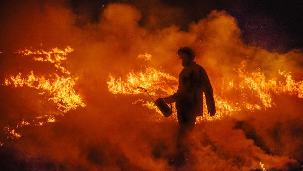
Queensland firefighters have been battling blazes throughout spring.Credit: Cameron Neville, via QFES
"That combined with the very dry fuel load is leading to those elevated and severe fire dangers for parts of the south-east," he said.
A severe fire danger warning for the Darling Downs and Granite Belt issued on Saturday is expected to continue through Sunday.
"It's so unbelievably dry. Everything's burning at the drop of a hat," Mr Narramore said.
A trough from the Gulf Country to the south-eastern interior should move east towards Brisbane on Sunday, with areas north of the city such as the Sunshine Coast and the Wide Bay-Burnett most at risk of thunderstorms with damaging winds and large hail.
"There'll be little or no rainfall with them and the lightning could possibly spark more fires, which is probably a big threat as well," Mr Narramore said.
The Bureau of Meteorology is forecasting some welcome rain in the middle of next week for central Queensland areas including Longreach, Barcaldine, Blackall and Charleville.
"Some of that could be the first rain they've seen for many months," Mr Narramore said.
Coastal areas are unlikely to see much rain, although temperatures will be slightly cooler, with tops in the high 20s.
AAP