Cyclone Ilsa could intensify into highest category cyclone in coming days
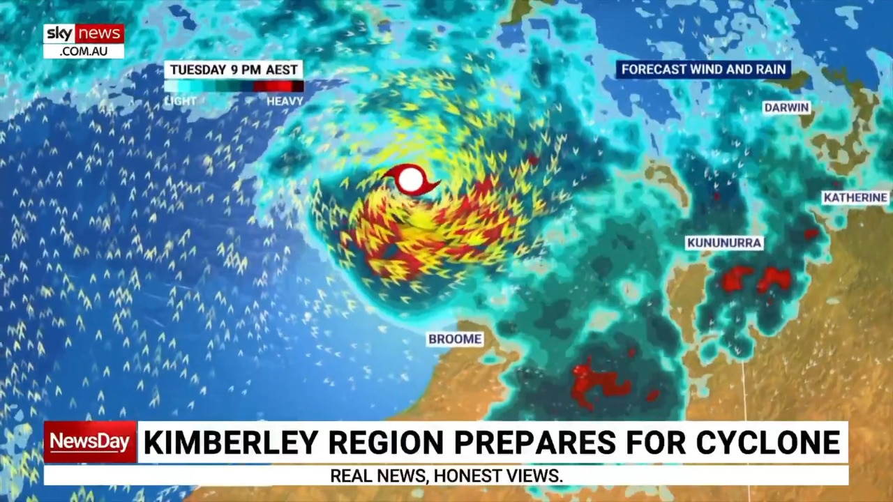
A tropical low near the Kimberley coast will soon form into a cyclone before making landfall, with locals urged to begin bracing for its intense arrival.
Environment
Don't miss out on the headlines from Environment. Followed categories will be added to My News.
Parts of Western Australia need to brace for the arrival of Tropical Cyclone Ilsa amid the potential of it intensifying into a category 5 storm in the next few days.
Communities along the Kimberley coast have been urged to begin preparations and to monitor conditions and warnings, with a Tropical Cyclone watch issued from Cape Leveque to Broome.
The low system is expected to form into a cyclone tonight before tracking closer to land later in the week, according to Bureau of Meteorology senior meteorologist Todd Smith.
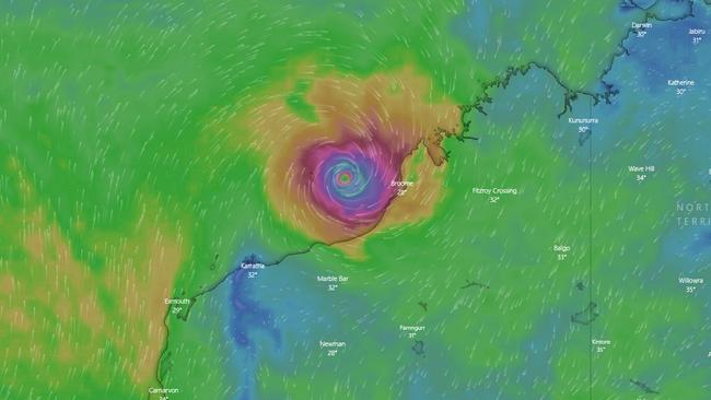
“There’s a high chance the cyclone will reach severe cyclone intensity before it crosses the coast,” he told reporters
“We’re expecting the system to cross the coast somewhere between Broome and Port Hedland later on Thursday or early on Friday.”
Residents should be on high alert for the effects of the cyclone, with areas close to the system to experience rainfall of over 200mm per day.
“Depending on where that system crosses the coast, the impacts are likely to be disruptive wind gusts near the centre of the system and we will see abnormally high tides and large waves in coastal areas, particularly to the east of where the system crosses the coast.
“We’ll also see heavy rainfall that can lead to localised flash flooding as it tracks inland.
There is “no excuse for not being prepared” according to Fire and Emergency Services Commissioner Darren Klemm.
“It is going to be a severe tropical cyclone, certainly a Cat 3 and a potential to be higher than that,” he said.
Tropical low continues to develop slowly; may reach tropical cyclone strength overnight. Severe coastal impact likely late in the week. https://t.co/B1MVXBHUfhpic.twitter.com/4XCpGD6kBz
— Bureau of Meteorology, Western Australia (@BOM_WA) April 10, 2023
“It’s been 10 years since there’s been a cyclone greater than a Cat 3 through this area, so people in those communities need to make sure they are prepared.”
Mr Klemm urged residents to visit the Emergency WA website for instructions on what to do, which include having a battery-operated AM radio for emergency warnings, having enough food for your family for three to four days and cleaning up around your home before the storm hits.
Sky meteorologist Rob Sharpe said once the cyclone moved inland, it would move across the coastal area between Port Hedland and Broome.
“The tropical low is turning into a tropical cyclone and moving parallel to the WA coastline through the next couple days until about Thursday,” Mr Sharpe said.
“Through Tuesday and into Wednesday … that system could undergo rapid intensification.
“If it does that it could become a category five tropical cyclone – that’s the highest category.”
Category five systems can bring wind gusts as high as 280km/h and are capable of causing widespread destruction.
“It’s most likely to make landfall in the sparsely populated coast from Port Hedland to Broome, so the town of Bidyadanga is most at risk,” Mr Sharpe said.
“It’s probably going to be in the firing line for significant weather impacts.”
At this stage, the Bureau of Meteorology (BOM) has forecast a category one system on Monday evening which will intensify into a category four by late Wednesday as it pivots toward the Pilbara coast.
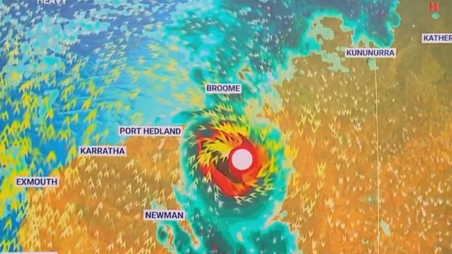
BOM cyclone advice is current for communities between Cape Leveque and Broome, excluding Broome.
Just after 9am on Sunday, Western Australia’s Department of Fire and Emergency Services issued a blue alert between the Kimberley communities of Kalumburu and Kuri Bay, and later beyond Mitchell Plateau.
The blue alert signals for residents to start preparing for dangerous weather despite there being no immediate threat.
Mr Sharpe has forecast very destructive winds above 200km/h over the coming days which are capable of causing significant structural damage and widespread power failures.
The Kimberley region is still recovering from severe flooding in January which destroyed homes and cut off key transport routes to many communities.
Originally published as Cyclone Ilsa could intensify into highest category cyclone in coming days


