‘Catastrophic’: Sweltering heatwave tightens grip on the country
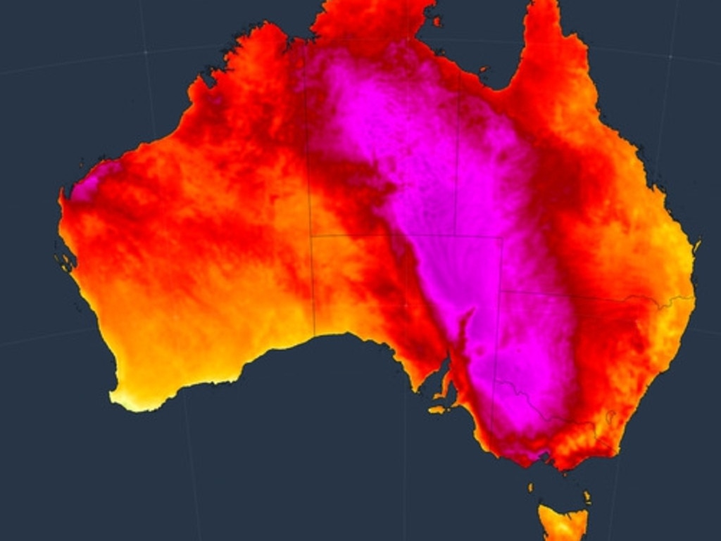
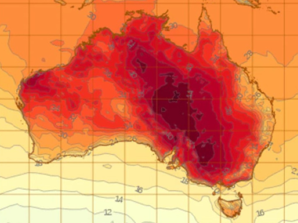
Australia is bracing itself for a blistering start to the week, with temperature records for December on the line as the mercury soars.
Parts of Australia will be hit by a dreaded heatwave as temperatures exceed 47C - breaking December records.
It will be an “extremely hot” and windy start to the week for the majority of the country, as residents prepare for the sweltering tempertures.
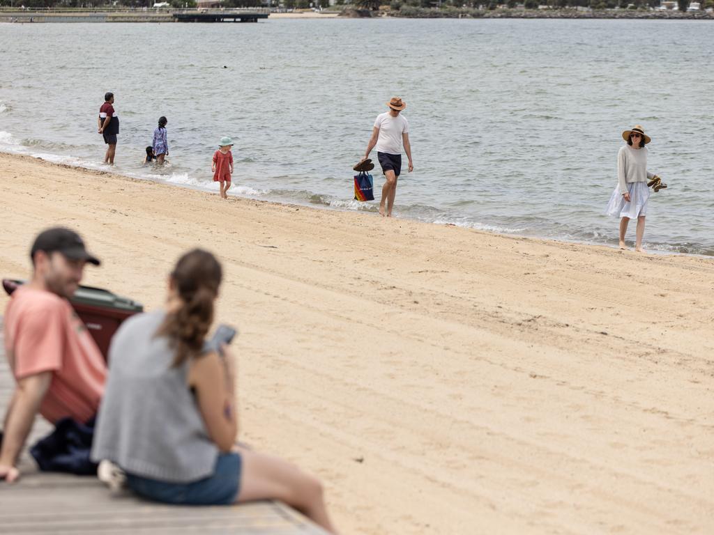
Melbourne will likely hit 40C on Monday, marking its hottest day since January 2023 and the hottest December day in five years.
Meanwhile, in Penrith and Richmond, in Sydney, temperatures are anticipated to reach 35C on Monday and up to 41C on Tuesday.

The Bureau of Meteorology has issued a severe-to-extreme heatwave warning for those in the northern parts of the country, including Alice Springs in the Northern Territory and northern and western Queensland, where temperatures are anticipated to climb well into the mid-to-high 40s.
The low-intensity heatwave is expected to stretch down to northern and western NSW, and northern Victoria, where temperatures are expected to reach the mid-to-high 40s.
“Some areas in western NSW could approach December records, with temperatures at 46C or 47C,” Bureau of Meteorology senior meteorologist Dean Narramore said.
The sweltering conditions are likely to affect Bourke, Ivanhoe, Jindabyne, Narrandera, Tibooburra, Tumbarumba and Wilcannia.
The Country Fire Authority has issued extreme fire danger warnings for the majority of Victoria, with a total fire ban in the Mallee, Wimmera, South West, Northern Country, North Central, Central and West and South Gippsland districts – including Melbourne and the Greater Melbourne regions – until midnight Monday.
“Those extreme fire dangers … are at the upper end of extreme – in the 90s – and it is not beyond the realms of possibility that tomorrow we will see areas tip into perhaps some of those catastrophic fire dangers,” CFA chief officer Jason Hefferman said per Sky News.
A moderate fire ban has been issued for the majority of NSW, with a high fire warning issued for the North West Slopes, Greater Hunter, North Western, Upper and Lower Central West Plains, the Northern and Southern Riverina regions.
A total fire ban has also been issued for the eastern region of South Australia, with an extreme fire warning for the Mid North, York Peninsula, Mount Lofty Ranges, Murraylands, Upper and Lower South East.

Thankfully, the sizzling heat won’t be around for too long in the southern states.
A cool change will arrive for those in the southern half of the country between Monday and Tuesday, particularly in NSW, Victoria and parts of eastern South Australia, giving much-needed relief.
However, there won’t be much relief for those living in the northern parts of Australia, including much of the NT and Queensland until later in the week.
Following the cool change in the south, the heatwave will trap itself in the northern areas and will continue its grip.

It will be partly cloudy day in Brisbane, with a very high chance of showers and a thunderstorm and a maximum temperature of 28C.
In Sydney, residents can expect a mostly overcast morning, with a slight chance of drizzle before clouds clear in the afternoon and a top of 29C.
Melbourne will have a mostly sunny and windy day, with a maximum temperature of 41C. The morning will be sunny, though clouds are likely to come in from the west in the afternoon, bringing a slight chance of showers in the late evening and a cool change.
It will be similar conditions in Adelaide, which will have a sunny morning and a slight chance of a shower, most likely in the evening.
There is a slight chance of a thunderstorm in the late afternoon and early evening, reaching a top of 38C.
For Perth residents, it will be partly cloudy day with a slight chance of rain and a maximum temperature of 25C.
There will be a high chance of showers in Hobart, with partly cloudy skies and a chance of thunderstorms in the evening, reaching a top of 33C.
It will be a sunny day in Canberra, with light winds and a maximum temperature of 37C.
Darwin residents can expect a partly cloudy day, with thunderstorms in the morning and a medium chance of showers in the afternoon and evening, reaching a maximum temperature of 35C.
Originally published as ‘Catastrophic’: Sweltering heatwave tightens grip on the country


