Tasmanian weather: Total fire ban for South of state with strong winds forecasted
A total fire ban has been put in place for Southern Tasmania as strong winds are expected to lash parts of the state. Weekend weather forecast >>

Tasmania
Don't miss out on the headlines from Tasmania. Followed categories will be added to My News.
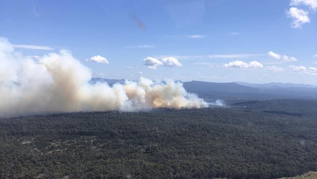
A total fire ban has been declared for Southern Tasmania this Sunday as strong winds are expected to lash parts of the state.
It comes as the state is on track to its ninth warmest summer on record, with rainfall tracking below average.
While Sunday will have temperatures in the high teens, Bureau of Meteorology senior meteorologist Alex Melitsis said strong wind gusts and dry fuels will mean high fire dangers.
“We’ll see a pretty cool and gusty south-westerly air stream move over the state and they’ll bring quite a dramatic change to the weather,” he said.
“We’ll see gusts of around 80 to 90km/h across most parts of Tasmania. However, we could see some damaging gusts in excess of 100km/h across parts of Eastern, South Eastern and North Western Tasmania on Sunday.
“We’ll also see some low humidities of around 20 to 30 per cent and that will mean that although it’s quite a cool day, we will see high fire dangers across most parts of Tasmania.”
Mr Melitsis said the Bureau will be forecasting extreme fire danger across the East Coast district on Sunday.
“It’s going to be a cool day but it’ll be really windy with low humidity. Fuels in that area are really dry after a very dry February,” he said.

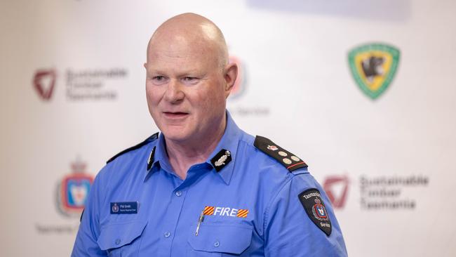
Tasmania Fire Service acting regional chief Phil Smith said fires could quickly become out of control with the strength of the wind especially with the dryness and lack of moisture in fuels.
“It’s going to make that just 10 times worse and that could start from the simplest thing,” he said.
“A lot of people think a total fire ban means that we have to have days in 30C plus, but it’s not necessarily the case. It’s about the dryness in the atmosphere, the dryness of the fuels, the strength of the wind, and the relative humidities.”
Australia is on track to have its third-warmest summer on record, with Tasmania’s summer warmer than usual.
Across autumn, the state will have a 75 per cent chance of above average temperatures during the day and night.

“There’s a 60 to 65 per cent chance of below median rainfall this autumn in much of Northern and Eastern Tasmania, which is the likelihood of less rain than usual,” Bom senior climatologist Dr Lynette Bettio said.
“A range of rainfall outcomes are possible for some parts of western Tasmania, where there’s roughly an equal chance of above or below median rainfall.”
Weather Forecast
Over the coming week, Hobart will have temperatures in the high teens to high 20s. Saturday will be partly cloudy and a top of 19C, with Sunday expected to have wind. Monday will be partly cloudy and 19C, with Tuesday rising to a top of 26C and Wednesday 28C.
It will be mostly sunny and a top of 22C in Launceston over the weekend until Monday. Tuesday will be partly cloudy and a top of 23C, with the mercury expected to rise to 28C on Wednesday and Thursday.
In the state’s West, Strahan will have showers and wind with a top of 17C over the weekend, before clearing to a partly cloudy 19C on Monday. Tuesday will be 23C, with a shower or two expected on Wednesday.
To the East, Swansea will be partly cloudy and windy with a top of 21C this weekend, 19C on Monday, and mostly sunny and 24C on Tuesday. Temperatures will rise to 28C on Wednesday.


