
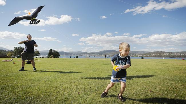
Hold onto your hats, damaging winds are on their way
UPDATED: More than 1200 homes are without power, with TasNetworks still trying to pinpoint the cause.
Tasmania
Don't miss out on the headlines from Tasmania. Followed categories will be added to My News.
UPDATED: More than 1200 homes are without power, with TasNetworks still trying to pinpoint the cause.
The power company said about 1235 customers were without power at Mount Nelson and Taroona and it was not yet known when electricity supplies would be restored.
“We’ve had reports of a pole sparking along the Channel Highway as the likely cause,” TasNetworks said in a Facebook post.
“Crews have been dispatched to the scene, with an estimated restoration time to be advised.”
There are about 300 other properties across the state where the power is also off today, mostly because of the prevailing high winds.
UPDATED: POLICE have responded to multiple weather-related calls overnight and this morning as a severe weather warning remains in place across Tasmania.
In a brief statement shortly after 8.30am, police said trees were brought down by strong wind across the state, but no significant traffic disruptions occurred, while a yacht at Sandy Bay broke its moorings.
Bureau of Meteorology acting senior forecaster Luke Johnston said a vigorous front moved over Tasmania last night, and winds are not expected to ease significantly until tomorrow morning.
“There were quite a lot of thunderstorms about the north of the state as the frontal band moved across,” Mr Johnston said
“We saw rainfall up to 40mm at Fisher River ... near the Western Tiers, [and] a whole heap of places around the Central Plateau and adjacent areas just to the north had 20 to 30mm of rainfall.
FOR THE LATEST WEATHER WARNINGS, CLICK HERE
“Most other places about the North had 10-20mm of rain, and less than 5mm at most places in the South- East.”
Mr Johnstone said wind gusts at Maatsuyker Island and Scotts Peak reached 139km/h last night.
“Several exposed locations around basically coastal areas of Tasmania observed gusts between 100 and 120km/h,” he said.
“It’s not just the wind gusts in an event like this, it’s the sustained average wind speeds in the 60 to 70km/h range for periods in the night, and that was reached at many places in Tasmania about the West Coast and the North Coast and parts of the East Coast as well.”
The wild weather will continue today.
“It’s going to be very much the same conditions about the West of Tasmania as what we saw last night and for most of the North of Tasmania as well,” Mr Johnston said.
“However, the South and East of Tasmania will still see gusts a little bit lighter than what we saw last night, but still in the 80 to 90 km/h range.
“A very gusty day ahead, a very windy day for Tasmania today, and winds won’t decrease significantly until tomorrow morning when they start to shift south-westerly.”
The TasNetworks website shows about 440 power outages statewide, including 216 at Guildford, Luina, Savage River and Waratah in the North-West and another 115 at Windermere in the North.
To check on the latest power outages, click here.
EARLIER: A SEVERE weather warning has been issued for the whole of Tasmania, with damaging winds set to impact across the state on Monday.
The warning issued by the Bureau of Meteorology yesterday afternoon said the deep low pressure centre would pass to the south of Tasmania tomorrow bringing rain and strong winds.
“Although windy days such as this coming Monday are quite common during the cooler
months, Monday may be the windiest day Tasmania has seen since early November with wind gusts of 90 to 100km/h possible across much of the state,” the Bureau said.
âš ï¸ Severe Weather Warning current for damaging #winds for #Tasmania overnight tonight and early Monday morning. Additionally, thunderstorms overnight in the west and north have potential to bring large hail and heavy falls. Keep informed at https://t.co/ItqnPP0O23 #TasStorms pic.twitter.com/yaBGFZ9l1T
— Bureau of Meteorology, Tasmania (@BOM_Tas) March 24, 2019
“A Severe Weather Warning for damaging winds has been issued for all of Tasmania, warning of damaging north to north-westerly winds averaging 60 to 70 km/hr, with peak gusts of 90 to 100km/hr, that are expected during Monday morning.”
Snowfalls are expected down to 900 metres about western, central and southern Tasmania.
Thunderstorms were likely overnight, especially about the north and west of the state, with large hail and heavy falls of rain possible.
MORE OF TODAY’S NEWS:
PROTESTERS STAGE MASS PICNIC AT CABLE CAR SITE
TASTAFE NURSING COURSE CONCERN
TASSIE TEAM ‘NO LONGER A DREAM’
SNOWFALL IN HIGHLANDS EXPECTED AS STATE BRACES FOR COLD FRONT
Thunderstorms with small hail are also likely about the west and far south of Tasmania today.
The State Emergency Service has advised people to secure outdoor items including furniture and play equipment and prepared in case of power outages and report any outages to TasNetworks on 132 004.
For emergency assistance contact the SES on 132500.
blair.richards@news.com.au

‘Not warranted’: Bike lanes add to safety risk report says
The Collins St bike lanes continue to create community division. A Hobart councillor says a new report is not based on the latest design.
Snow falls in Tasmania as fires still rage in the west
It’s snowing in parts of Tasmania while firefighters battle blazes elsewhere. Read about Tasmania’s fickle summer weather.