
Queensland weather: Bureau forecasts 48-hour rainfall, damaging wind gust threat
Severe thunderstorms warnings are expected to be issued today with the state under threat of a 100mm deluge, flash flooding and damaging winds from Townsville to the Gold Coast.
QLD News
Don't miss out on the headlines from QLD News. Followed categories will be added to My News.
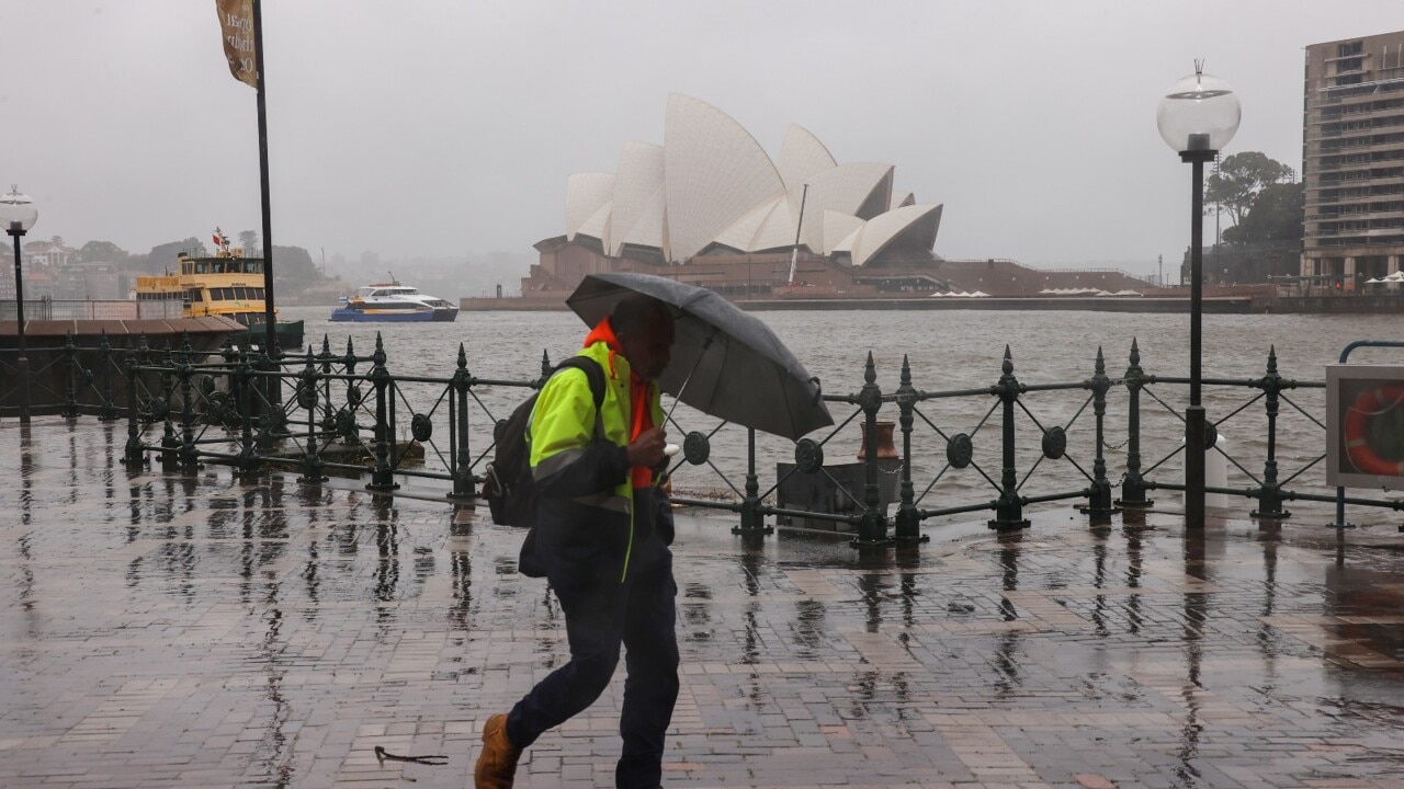
Queenslanders have been warned to brace for rainfall totals of up to 100m, damaging wind gusts and risk of river rises this weekend and in the beginning of next week.
The Bureau of Meteorology’s Pieter Claassen said widespread rainfall was forecast for today and Sunday with radars showing a downpour is fast approaching the South East.
Mr Claassen warned Sunshine and Gold Coast residents to stay vigilant of a severe storm cell predicted to bring isolated heavy thunderstorms.
The Aussie Surf Lifesaving Titles, being held at Alexandra Headland, Mooloolaba and Maroochydore, got an early taste of the rain with boat crews standing in the rain to honour their fallen mates on Saturday morning.
A hazardous surf warning was issued by the bureau on Saturday afternoon for coastal activities such as rock fishing, boating, and swimming in the following areas. The warning applied to K'gari Coast and Sunshine Coast Waters
“Severe thunderstorms are forecast for as far up as Townsville all the way down to the Gold Coast region,” Mr Claassen said.
“We can expect to see rainfall for much of the South East region between 20 to 40mms, it is very widespread as well.
“There is a slight risk of isolated heavy rainfall that may lead to flash flooding around the early hours of the Sunshine Coast and the Gold Coast.
“While it is only a slight risk at this stage, the risk is still there and residents should stay across warnings and be up to date on all the latest news.”
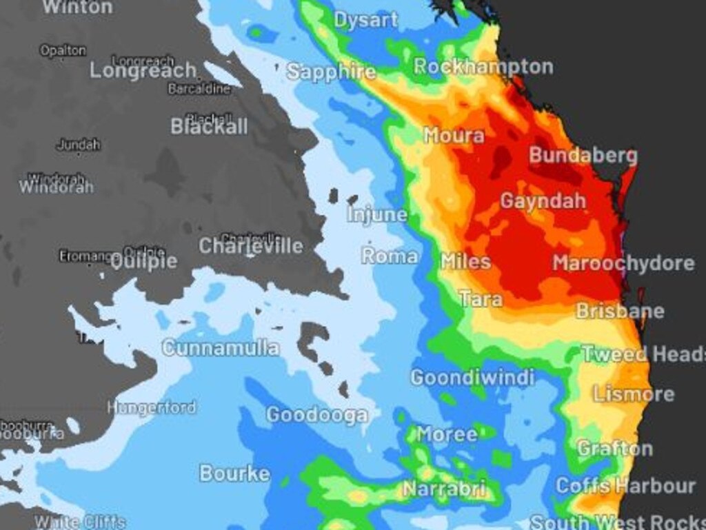
According to the bureau on Friday, central parts of Queensland including Wide Bay and Burnett, the northern Darling Downs and the southern Capricornia could receive localised heavy rainfalls from between 50mm and 100mm.
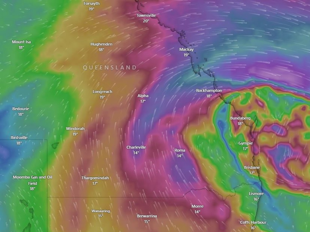
As well as widespread rainfall, the Bureau is forecasting damaging wind speeds and strong swells across the weekend and into the early part of next week.
“The thunderstorms at this stage there is not a lot of risk of hail but more damaging wind gusts,” Mr Claassen said.
“Winds will pick up around SEQ early Sunday morning to Sunday afternoon and will definitely get gusty around the coastal fringe from the Gold Coast up to Townsville.
“It will also pick up the surf and we can expect to see seas as high as four metres on some SEQ beaches, so very significant waves.”
On Friday, the Bureau’s Felim Hanniffy said the rain would develop from Saturday over southern Capricornia.
“There is potential for some moderate rainfall between 20mm-50mm and localised heavy rainfalls especially over Wide Bay Burnett and northern Darling Downs of up to 100mm,’ Mr Hanniffy said.
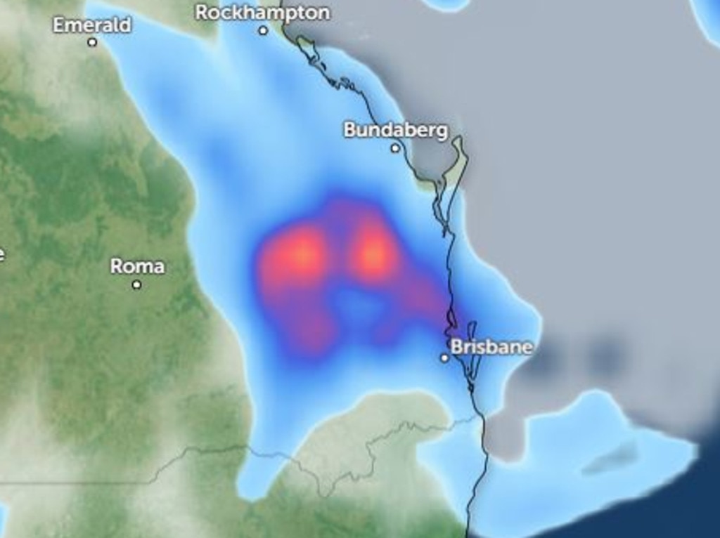
“The focus shifts from Sunday where that rain will spread to the south east in a patchy pattern which will become more consistent going into Monday.”
Meanwhile, damaging wind gusts of 60-80km/h are in the forecast for the South East from Sunday afternoon.
“This is a direct result of an upper level low contracting off the coast from Sunday and that will enhance wind and swell.” he said.
Mr Hanniffy said the wind would cause dangerous surf conditions in the South East extending from K’gari down to the Gold Coast.
“That combined with a strong ridge that extends over western and interior parts of Queensland is making those conditions intensify,” he said.
Mr Hanniffy said there was also a risk of river’s rising in Queensland over the weekend.
“Soils are wet from previous rain episodes meaning rivers including the Condamine River over the northern downs, the Burnett River and Myall Creek.”
More Coverage


Originally published as Queensland weather: Bureau forecasts 48-hour rainfall, damaging wind gust threat

Wood-fired vegies, smoked meats: Inside cult taco joint’s new Brisbane venue
Come with us as we take an exclusive first look inside the highly-anticipated second venue from a cult-popular Mexican taqueria ahead of its upcoming opening.

LNP makes fresh vow over Sunshine Coast rail, swipes at Labor
A fresh state LNP promise has been made over rail in the Sunshine Coast, with a dig at opposition, but Labor has hit back in the train line debate.