Flash flooding as parts of Gold Coast drenched with more than 100mm of rain
A flood watch has been issued for the Gold Coast with residents urged to monitor conditions as heavy rainfall is expected to continue. Read the latest update from forecasters.

Gold Coast
Don't miss out on the headlines from Gold Coast. Followed categories will be added to My News.
A flood watch has been expanded to include the Gold Coast following a weekend drenching and further possible heavy rainfall and thunderstorms throughout the day.
The Gold Coast Seaway was among some of the areas that felt the brunt of a slow moving Coastal trough on Sunday morning with 80 millimetres of rain falling in the two hours to 11am. Other areas also recorded large falls ranging from 15-40mm.
The Bureau of Meteorology’s Shane Kennedy said 24-hour totals have topped 150mm in many parts of the Gold Coast, saturating the ground.
“With wet catchments there is some potential we could see flash flooding,” Mr Kennedy said.
“There is that potential that we could see heavy rainfall for the rest of the day. If that eventuates and we get enough of that in the wrong spot then we might see some minor flooding, but no imminent concerns.”
As a precaution the Gold Coast was added to the broader flood watch which is current for much of the southeast – with the Bureau of Meteorology closely monitoring conditions further north and any possible impacts that could bring further downstream.
“We could see severe thunderstorms across the Gold Coast and southeast broadly for the rest of the day,” Mr Kennedy said.
“That would only be for heavy rainfall – we’re not expecting any large hail or damaging winds. It’ll just be this slow moving storms that dump that moderate to heavy rainfall.
“It’s really been the heaviest on the Coast this morning, we expect that focus will shift a bit further inland this afternoon but there is still that potential.”
No road closures have been reported by council so far, however residents are being urged to stay up to date with conditions throughout the afternoon.
Earlier – 10am
Heavy rainfall is continuing to drench the Gold Coast with tens of millimetres blanketing parts of the region in less than an hour.
On Sunday morning the Gold Coast Seaway recorded an eye-watering 31.4 millimetres of rain in just 40 minutes from 9am.
Over the past 24 hours accumulated rainfall totals have topped more than 150mm at Clearview, west of Nerang. More than 100mm has also fallen at Tallai, Molendinar, Carrara, Monterey Keys and Clagiraba.
It means the Gold Coast has recorded some of the heaviest rainfall in Southeast Queensland, with more rain expected to fall throughout Sunday.

6am
The drenching which cut the Magic Millions race day short is forecast to continue across the Gold Coast on Sunday as parts of the region have already clock-up some impressive rainfall totals.
Clearview weather station, west of Carrara, has recorded the highest totals with more than 140 millimetres of rain since 9am on Saturday, closely followed by Clagiraba at 120 millimetres. Molendinar, Tallai and Loder Creek Dam have all recorded rainfall totals over 100mm across the same period.


Wet conditions have continued into Sunday morning with 44mm blanketing Coombabah in the three hours to 6am, Monterey Keys also recorded 39mm, and slightly less at Coomera with 36mm.
The Bureau of Meteorology is forecasting more rain throughout Sunday with thunderstorms also possible.
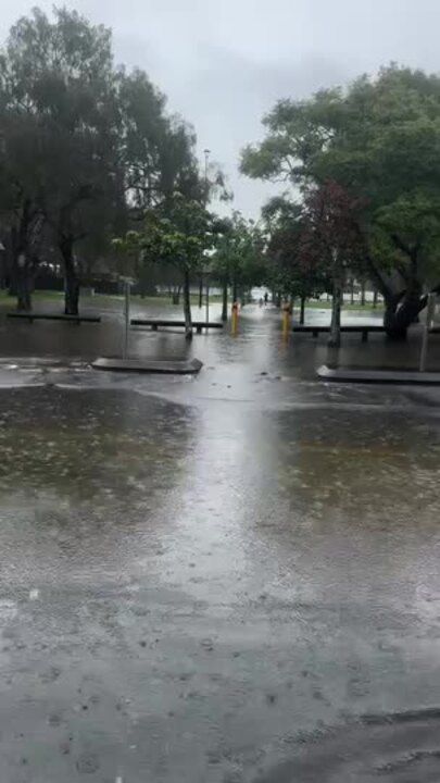
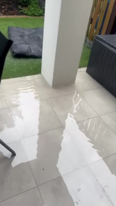
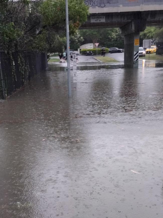
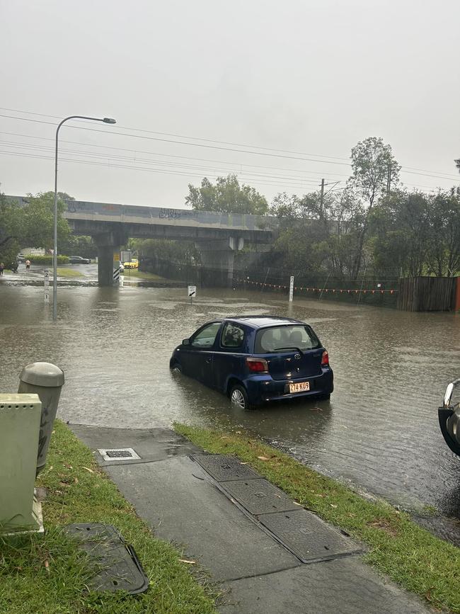
The deluge has already led to minor flash flooding in some areas with roads in Carrara submerged for about an hour following heavy downpours on Saturday afternoon.
More Coverage
Originally published as Flash flooding as parts of Gold Coast drenched with more than 100mm of rain


