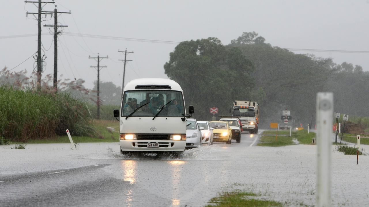
Mossman records 90mm+ rainfall after severe thunderstorm, FNQ braces for wet week
A severe weather warning has been cancelled for the Daintree following a severe thunderstorm which brought intense localised rainfall, recording almost 100mm in one hour.

A localised severe storm has drenched the Daintree, with more than 200mm recorded in a 24-hour period near Mossman.
It comes as a severe weather warning was cancelled for the Daintree following a severe thunderstorm which brought intense localised rainfall, recording almost 100mm in one hour.
Bureau senior forecaster Felim Hannify confirmed 225mm of rain was recorded in the area during a 24 hour period.
“The highest amount was 225mm (as of) 9am Sunday, recorded at Rex Creek intake, which is on an elevated area near Mossman,” Mr Hannify said.
“The storm occurred during (Saturday) evening and we saw totals of 34mm recorded in 30 minutes, and 96mm in an hour between 5.30pm and 6.30pm.”
Mr Hannify said 74mm had also been recorded during a half-hour period.
“A storm sat over the area and we saw very intense rainfall, then it weakened again as we went into the rest of the evening.”

The severe weather warning which was issued at 6.36pm on Saturday, was later cancelled around 9pm.
“It was a localised event, but intense,” he said.
Mr Hannify said the risk of more storms and heavy rainfall would continue throughout the Far North for the rest of the week, with totals expected to bring between 50mm to 100mm, however showers were expected to ease toward the middle of the week.
“Into Tuesday and Wednesday, the chance (of a storm) lowers, still showers around but generally on an easing trend,” he said.
“Wednesday and Thursday, showers become a bit more isolated around the area, a loose improvement from midweek but by the weekend, there will be a bit of shower and storm activity.”
So far, there has been a delayed start to the monsoon season, which is expected to pick up toward the end of January.

“We had a brief boost of monsoon conditions in mid-late December when there was a burst of a very wet period of weather,” he said.
“Things have subsided for now in terms of monsoon activity, but we may see another burst as we head into late January, early February.
“But at the moment we’re in a break period, so there’s a reduced risk for tropical cyclone activity for the next two weeks.”
With warm sea temperatures, Mr Hannify said there was “plenty of fuel” for cyclones to occur in the right conditions.
“Last year still got lower than average cyclone activity, with six in the North Australian region and most were severe,” he said.
“The watch point would be sea temperatures are warm, so even if we get lower cyclone activity, there’s greater portion for it to be severe – it only takes one severe cyclone for it to be a memorable season.”
Originally published as Mossman records 90mm+ rainfall after severe thunderstorm, FNQ braces for wet week


