
‘Meaningful moment for our community’: Apple’s overhaul of Aussie maps
Apple has unveiled a major change to its ubiquitous Maps service, in a move that will impact millions of users across the world.


Smartphone
Don't miss out on the headlines from Smartphone. Followed categories will be added to My News.
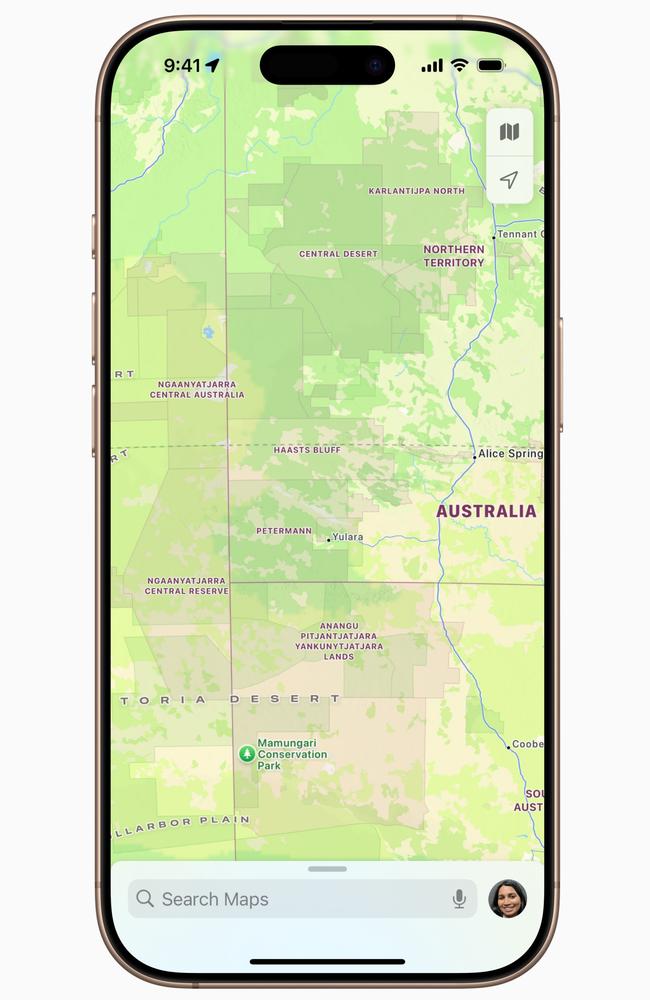
Apple has unveiled a major change to its ubiquitous Maps service, formally recognising the Indigenous lands of Australia and New Zealand as part of a project four years in the making.
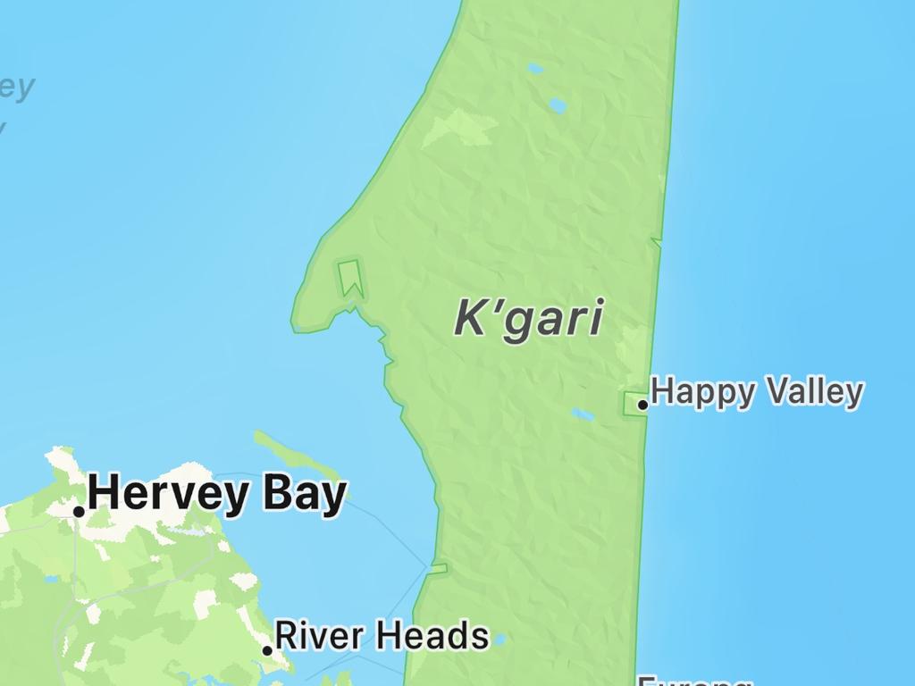
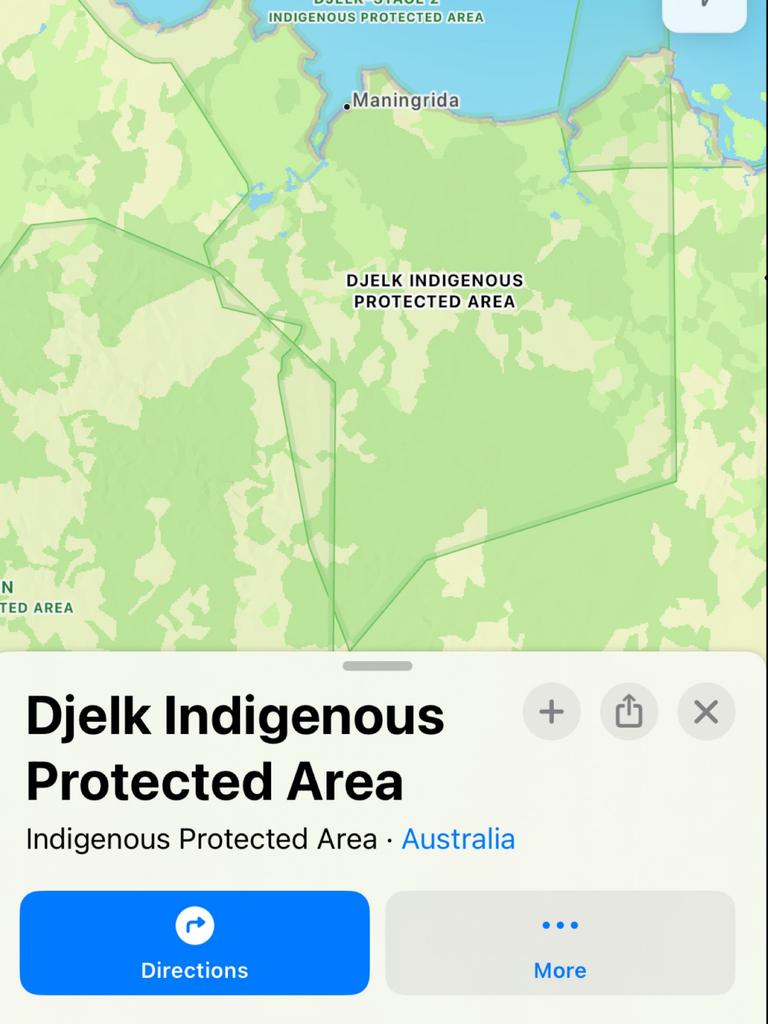
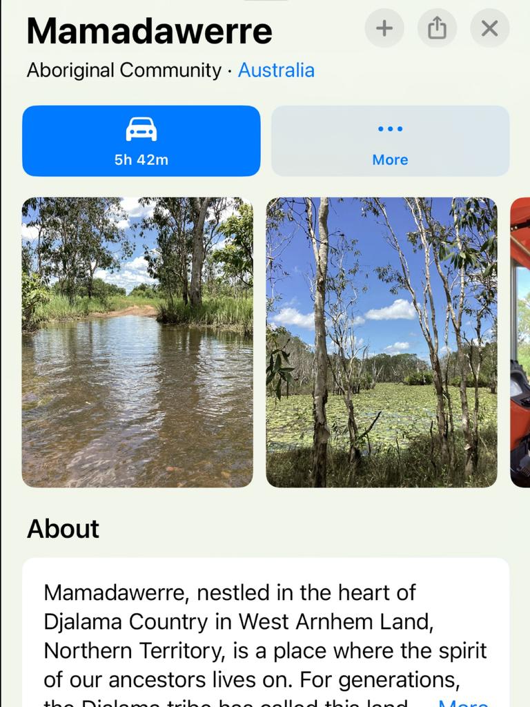
In a major collaboration with First Nations peoples, from today the tech giant’s Maps product will display more than 250 dual place names for cities and towns across both countries, land borders for Indigenous protected areas and reserves, and display the traditional owners of regions – without marking their land boundaries.
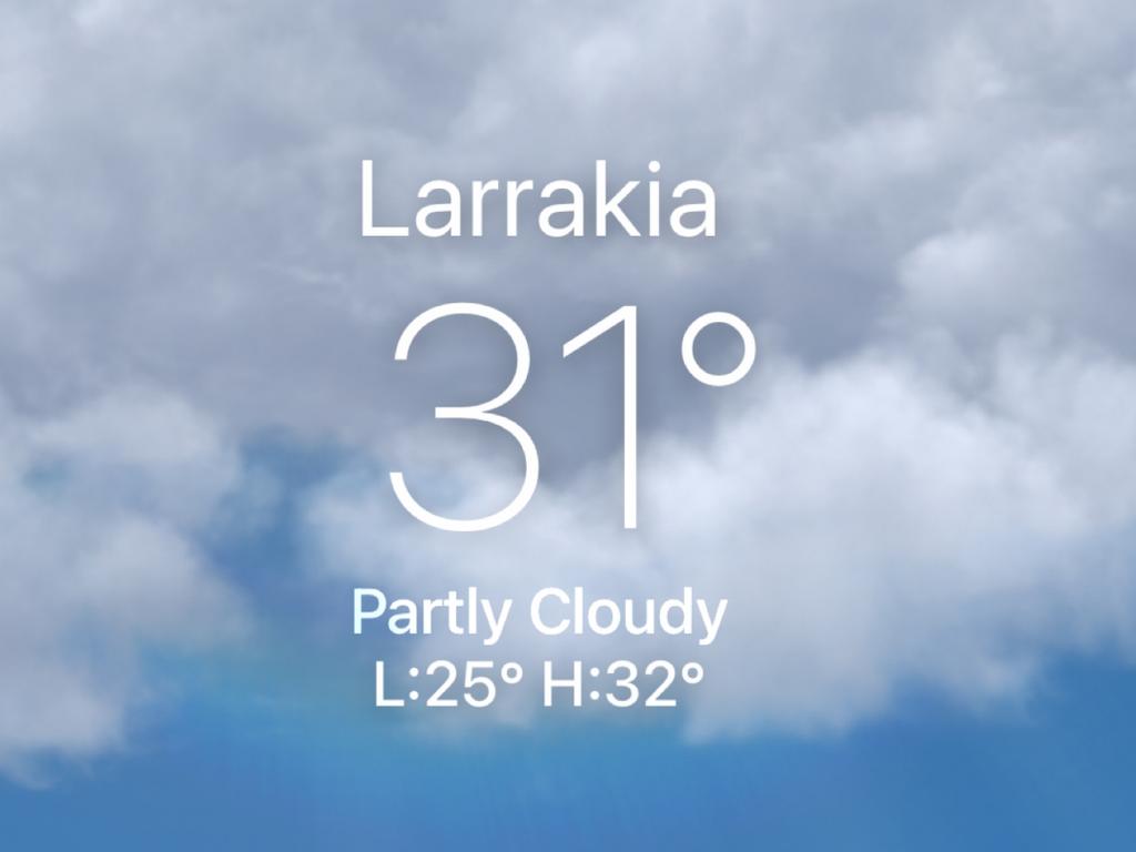
The changes, which are not optional for users and cannot be turned on or off, will extend to applications like Weather and Find My and third-party apps like Qantas, where dual names can be searched and displayed.
Indigenous groups can also submit pictures of their communities to create place cards and generate further awareness.
The overhaul was informed by a host of sources, including local language holders, regional and urban language centres and Aboriginal Land Trusts. Data gathered by Apple was also corroborated by data previously published by the Australian Institute of Aboriginal and Torres Strait Islander Studies (AIATSIS).
According to recent data published by Business of Apps, Apple Maps has a global audience of some 500 million people.
“Sharing our story and deep connection to the land is a meaningful moment for our community – a testament to our resilience, history, and vision for the future,” Mamadawerre community member, Rodriguez Pindiying, said.
“This isn’t just about geography; it’s about preserving our culture and ensuring Mamadawerre’s legacy for generations.
“Through Apple, we have the rare privilege of sharing our heritage on a global stage, reminding the world that no matter how distant we may seem, our connection to the land, to each other, and to the world is universal.”
The update brings Australia in line with Canada and the United States, where Apple recognised Indigenous nations on its mapping software in 2023.
“(Technology companies) communicate to millions and millions of users and ways that have just become second nature for most people,” co-founder of the Firelight Group in Canada, Anishinaabe man Steve De Roy, said.
“The ability to be able to see Indigenous lands elevated on those platforms becomes really powerful.”
Similarly, in New Zealand, Apple worked closely with Indigenous cartographers and iwi (Māori tribes) to develop detailed place cards and map icons.
“For Tūhourangi, this partnership with Apple Maps is more than just a technological collaboration,” Annie Balle, from Tūhourangi iwi, said.
“It reflects our role as kaitiaki (caretakers), ensuring the protection and accurate representation of our cultural heritage.
“By bringing our stories to a global audience, we can uphold our narratives, safeguard our data sovereignty, and demonstrate how Indigenous knowledge and technology can work together to promote cultural understanding and sustainability.”


Originally published as ‘Meaningful moment for our community’: Apple’s overhaul of Aussie maps

New iPhone feature will shock you
Your iPhone can now answer calls, hold for you, and translate in real time thanks to Apple’s wild new AI-powered iOS 26 update.

New text messaging service to help regional Australia
Telstra has launched a new satellite to mobile text messaging service that is accessible when your mobile coverage is out of range, as part of its collaboration with Elon Musk’s Starlink.
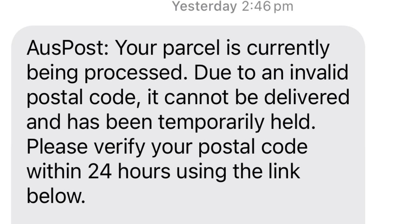
Sinister new scam strikes Aussies
Australia Post has issued an urgent warning to their customers, as a new scam fuelled by advancing technology sweeps across the nation.
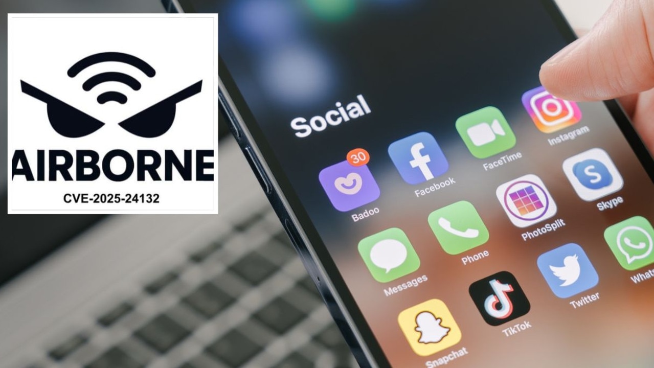
Chilling warning for 1.8 billion iPhone users
Cybersecurity experts have uncovered a series of concerning security flaws allowing attackers to infiltrate and take control of devices.
Apple warns iPhone users to delete app
Apple is telling iPhone users to delete a very commonly used app, claiming it could have damaging consequences.
Stop doing this with your phone immediately
An Apple employee has revealed the one thing you should stop doing with your iPhone immediately - debunking a very common practise.