Queenslanders wake up to floods and sunken boats from Cyclone Jasper
Wild winds and rain have brought hell to Queenslanders, with power wiped out to thousands of homes and more flooding on the way from Cyclone Jasper.
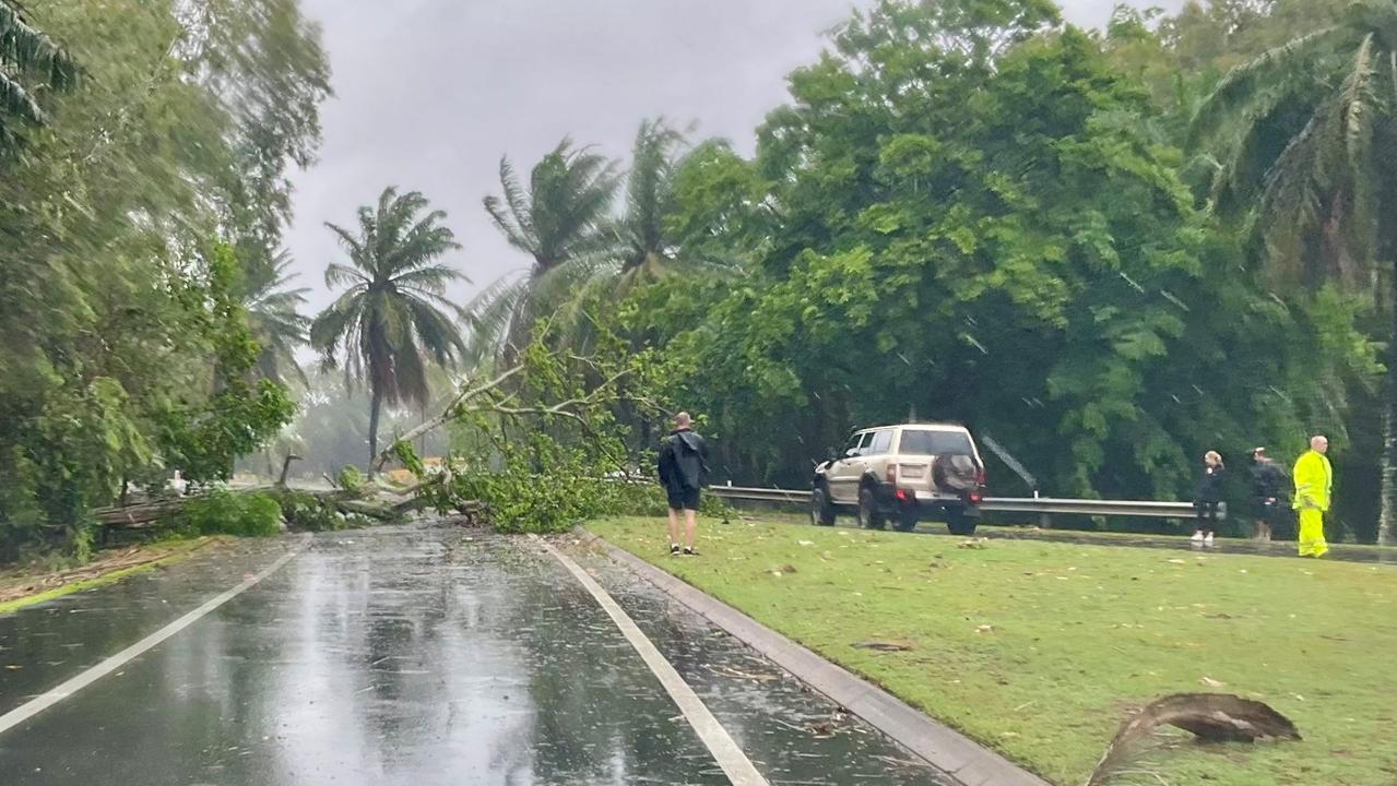
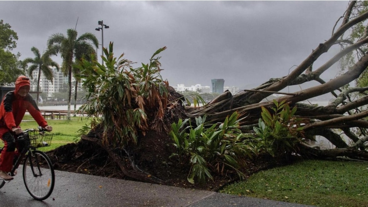
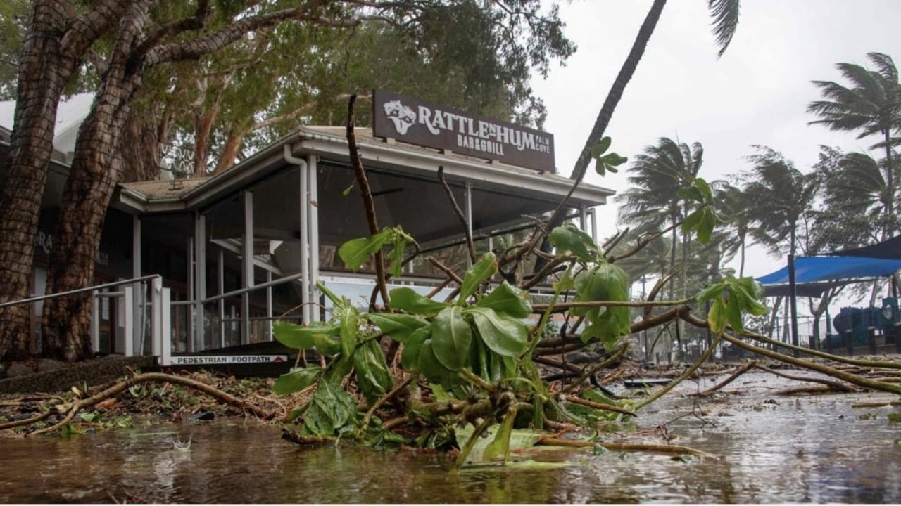
Queenslanders are waking up to chaos after Cyclone Jasper wreaked havoc across the state’s north overnight.
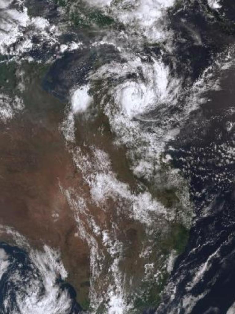
After days of inching closer to the coast, Jasper made landfall north of Cairns just after 5pm on Wednesday, sweeping torrential rain and dangerous winds across the area.
Residents in 43,000 homes are waking up without power as the state battles 83 outages after wind gusts of up to 140km/h downed trees and powerlines.
A quarter of homes and businesses affected by the cyclone are now without power according to Queensland Treasurer Cameron Dick.
While Cairns CBD retains power, suburbs around the city, up to the Daintree and down to Tully are in the dark.
More outages are expected as the rain continues on Thursday
“People in the far north will be aware that an event like this is not over because when they look outside they can see the rain bucketing down, but it will ease up and we want the people to remain alert and safe at this time,” Mr Dick said.
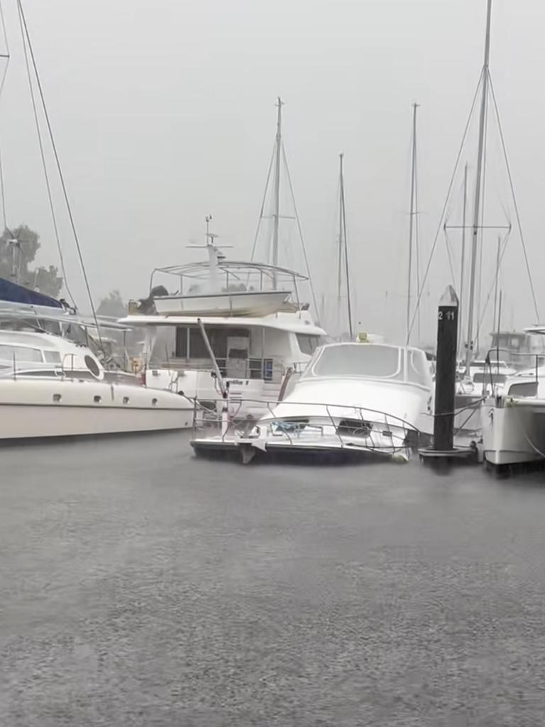
One boat owner will be having to deal with the aftermath of a sunken vessel after the cyclone pushed it underwater.
The large vessel was spotted by one passer-by half sunken in its docking space at the Cairns marina.
Incredible footage has emerged of tour boats and yachts taking refuge in creeks near Port Douglas as Cyclone Jasper approaches. UPDATES: https://t.co/HK9dnNDeFE Video: Brilliant Adventure pic.twitter.com/sIyj5pNfJL
— The Courier-Mail (@couriermail) December 12, 2023
“Looks like the cyclone has claimed its first victim,” Karen Moody said in a video of the sinking.
“You can smell the diesel.”
Many boat owners moved their vessels out of the path of the cyclone before it hit to avoid damage, with many marinas left empty and local creeks and estuaries lined with boats.
Authorities are already dealing with the fallout from the cyclone, with Queensland Fire and Emergency Services rescuing 12 people and a dog from rising floods near Mossman overnight and evacuating a further 40.
“Police and emergency services turned up, we saw about a metre of water around the roadways and houses,” a Queensland Police spokesperson said.
“One house was inundated, we know that at this point in time, a number of vehicles were inundated.
“We’re able to walk the 12 people out and take them to the library, along with the dog.”
One resident who was forced to evacuate due to the flooding shared what the experience was like.
“I got woken up, it shook me up a bit, I was like, ‘What’s going on?’” he told Today.
“Lights flashing then two ladies telling me to leave. I’m assuming the back part of my house is flooded now.”
Queensland’s State Emergency Service (SES) responded to 50 calls overnight and are expecting more throughout the day.
Jasper has been downgraded, as it is no longer at tropical cyclone intensity, according to the Bureau of Meteorology; however, the system will still bring intense rainfall and damaging wind gusts.
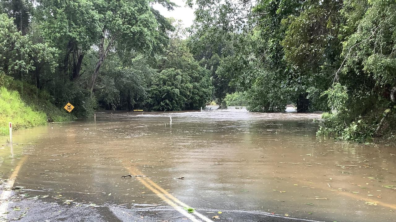
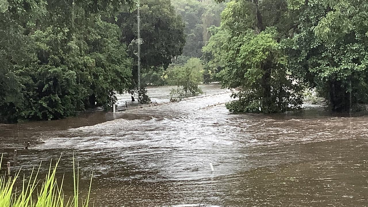
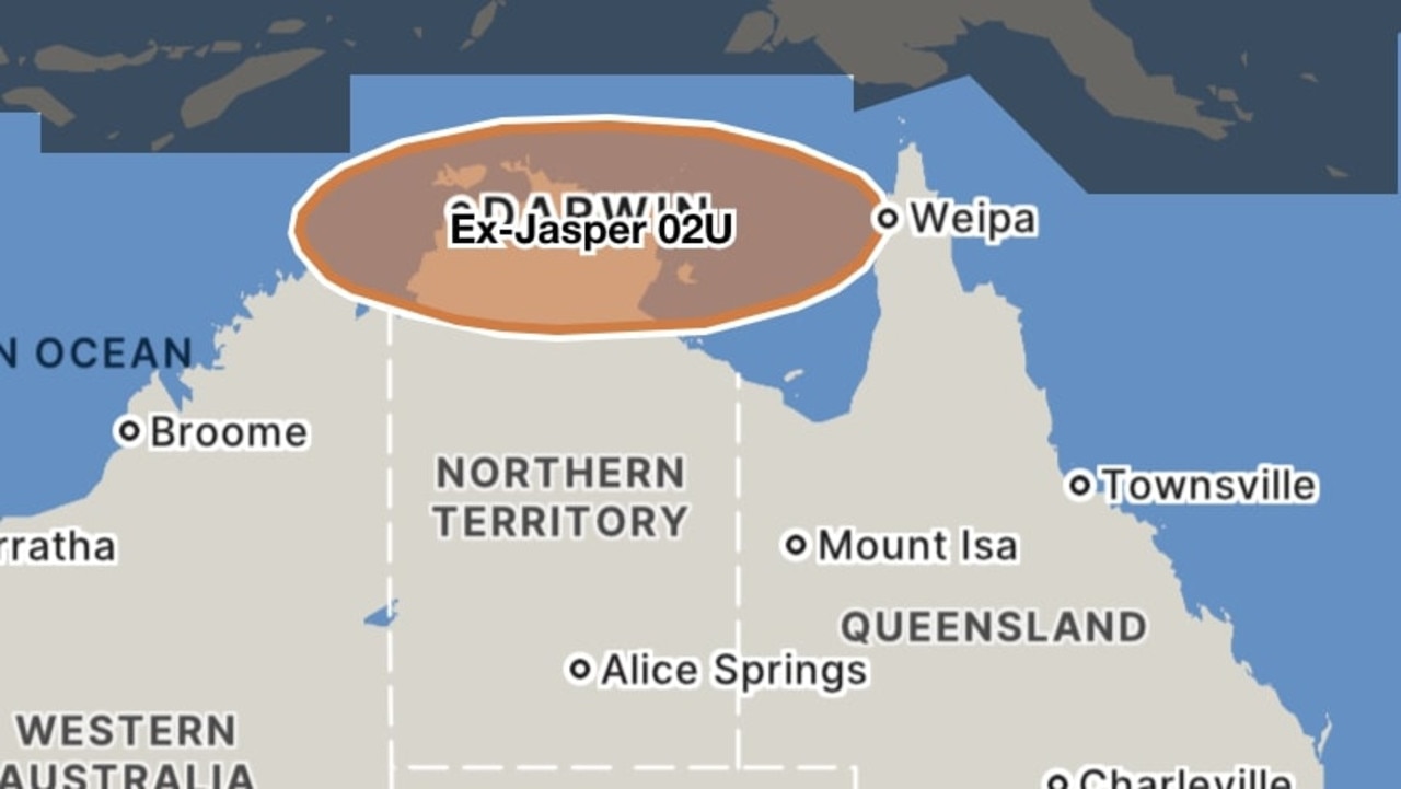
âš ï¸ðŸŒ§ï¸Severe Weather Warning for Heavy to locally Intense Rainfall leading to life-threatening flash flooding for FNQ. Major flood warning current for the Daintree River and Flood Warning for the Mossman River. Damaging winds also possible. https://t.co/FBmpsInT9opic.twitter.com/DCSZGg0TeJ
— Bureau of Meteorology, Queensland (@BOM_Qld) December 13, 2023
Thunderstorms are also still likely and flood watches have been issued, with more expected as the day continues.
“That is probably the main point of today, that we are still seeing this rainfall and we could still see impacts from flooding,” a bureau spokesperson said.
“We have a severe weather warning current with falls between 150 and 200mm still possible today and 24-hour totals up to 300mm possible today.
“If we see these fall in a short period of time … that is when we can see that dangerous and very life-threatening flooding.”
The bureau is warning that major flooding is likely around the Daintree on Thursday morning after up to 390mm was recorded in the river catchments to 5am.
“Heavy rainfall is forecast to continue during Thursday. A severe weather warning, which includes locally intense and heavy rainfall is current for the Daintree and Mossman River catchments,” the bureau warned.
The influx of rain has caused “significant river level rises”, with the Daintree River at 7.55m and likely to rise to at least 9m by midmorning.
Mossman River is reaching similar levels to the January 2019 flood event after the influx of rain.
“River levels have started to ease in the past few hours, however further rapid rises are possible if heavy rainfall redevelops in the area,” the bureau warned.
A moderate flood warning is in place for the Mulgrave River and Russell River after up to 150mm of rain was recorded in the two catchments in the past 48 hours, with isolated totals of 250mm.
The river at Peets Bridge peaked at 5.80m on Wednesday night and waters are receding but are likely to riser again as heavy rain continues to fall.
Similarly at Gordonvale, the river peaked at 11.75m at 4.30pm on Wednesday before receding; however, locals should not rest easy.
“Renewed rises are likely in response to further areas of heavy rainfall. The river level may reach around 14m during Thursday. Higher levels are possible with further rainfall,” the bureau warned.
Originally published as Queenslanders wake up to floods and sunken boats from Cyclone Jasper


