Bureau of Meteorology expects ex- tropical cyclone Kirrily to smash NSW with dangerous rain, flooding
Ex-tropical cyclone Kirrily has already caused widespread damage in Queensland and now Australia’s most populous state is expected to suffer.
Environment
Don't miss out on the headlines from Environment. Followed categories will be added to My News.
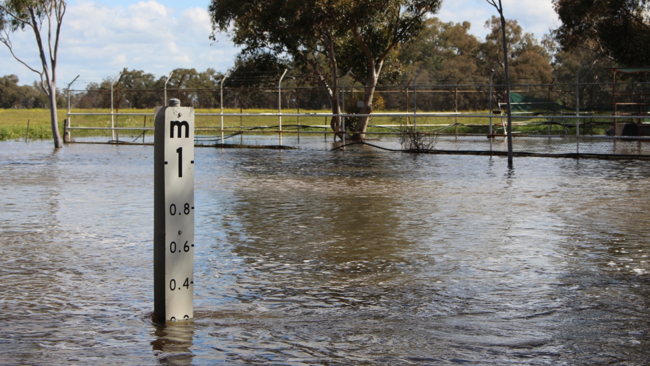
Intense rainfall and life-threatening flash floods could hit large swathes of Australia’s most populous state this week as ex-tropical cyclone Kirrily continues its rampage across the country.
The Bureau of Meteorology issued a severe weather warning for the Upper Western region of NSW on Monday as the weather system shifts from Queensland to NSW.
“Ex-tropical cyclone Kirrily is currently positioned over the far northeast corner of South Australia near Innamincka. The system is tracking south-southeast and expecting to move into the Upper Western district of NSW later this morning before heading further southeast into central parts of NSW this evening,” the bureau stated early Monday morning.
“Heavy rainfall, which may lead to flash flooding, is expected in western parts of the Upper Western district during Monday morning and afternoon, extending to the eastern Upper Western and northeastern Lower Western during Monday afternoon and evening.
“Six-hourly rainfall totals between 50mm and 80mm are likely, with 24-hourly totals between 70 and 100mm likely.
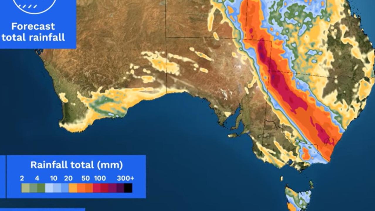
“Locally intense rainfall, which may lead to dangerous and life-threatening flash flooding, is also possible, particularly on the southern flank of the low.
“Damaging winds averaging 60km/h to 70km/h with gusts in excess of 90km/h are possible in an area extending roughly between Tibooburra, Bourke and White Cliffs, easing during the afternoon.”
The bureau expects the system to sweep through much of the NSW interior as the week progresses, hitting Canberra and then Sydney by Tuesday.
“Canberra is right in the path to receive some of the heavier rainfall totals,” the bureau said.
“At this stage, it looks like the ex-TC will cross the coast south of Sydney, meaning Sydney itself may only see light or moderate rain on the periphery of the system, with the heavier falls possible from Wollongong down to the Victorian border.”
Ex-Tropical Cyclone Kirrily is likely to bring some heavy rain to parts of NSW, and possibly Canberra, over the coming days. Find the latest at https://t.co/4W35o8i7wJ or on the BOM Weather app. pic.twitter.com/ZWGQoUFTdD
— Bureau of Meteorology, Australia (@BOM_au) February 4, 2024
Weatherzone also warns the potential for “dangerous flash flooding and damaging wind gusts” is high.
“Fuelled by abundant tropical moisture, Kirrily’s trajectory is set to bring flooding rainfall to western, central, and southeastern parts of NSW and eastern VIC on Monday,” the weather service said on Monday morning.
“The impact is expected to contract to southeastern NSW on Tuesday and Wednesday, posing a threat to the ACT, including Canberra, and densely populated areas south of Sydney.”
NSW’s State Emergency Service advises residents to avoid driving, riding or walking through floodwater and to keep at least 8m away from fallen power lines or objects that may be energised, such as fences.
“Keep clear of creeks and storm drains,” the SES stated on Monday.
“If you are trapped by flash flooding, seek refuge in the highest available place and ring triple-0 if you need rescue.
“Be aware that run-off from rainfall in fire-affected areas may behave differently and be more rapid. It may also contain debris such as ash, soil, trees and rocks.
“After bushfires, heavy rain and the loss of foliage can make the ground soft and heavy, leading to a greater chance of landslides.”
In Queensland, the bureau has issued major flood warnings for the Flinders, Cloncurry, Moonie and Balonne rivers.
The state is recovering from Kirrily’s impact after the system first crossed into Townsville in the north on January 25 and wreaked havoc across different parts of the state.
On January 29, residents of Kynuna in McKinlay Shire, 730km west of Townsville, were evacuated to Cloncurry.
In the state’s southeast, some residents in the Moreton Bay Council area were hit by floodwaters rushing through their homes at 3am on January 30.
Originally published as Bureau of Meteorology expects ex- tropical cyclone Kirrily to smash NSW with dangerous rain, flooding


