
Cyclone Alfred officially named on Sunday, as BOM warns people to be vigilant
Tropical Cyclone Alfred is expected to intensify in the Coral Sea into a Category 3 cyclone within days, bringing potential strong winds and high tides along Queensland’s east coast. However, its exact path remains uncertain.

Townsville
Don't miss out on the headlines from Townsville. Followed categories will be added to My News.
A tropical low in the Coral Sea is expected to intensify into a Category 3 cyclone within days, bringing the potential for strong winds and high tides along Queensland’s east coast. However, its exact path remains uncertain.
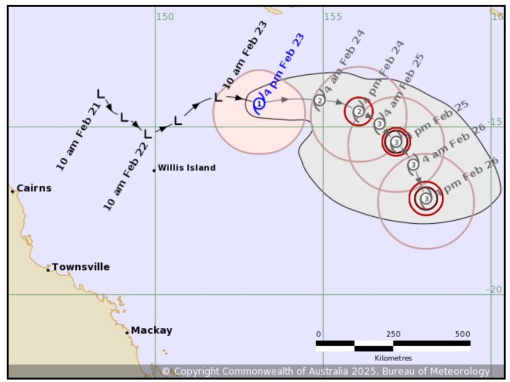
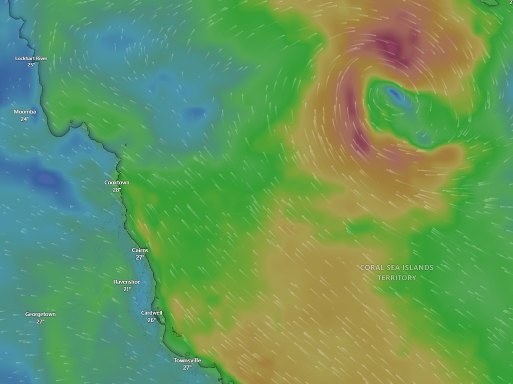
The Bureau of Meteorology (BOM) has urged Queenslanders to stay alert as the system, located about 840km northeast of Cairns and 400km east of Willis Island on Sunday, continues to strengthen.
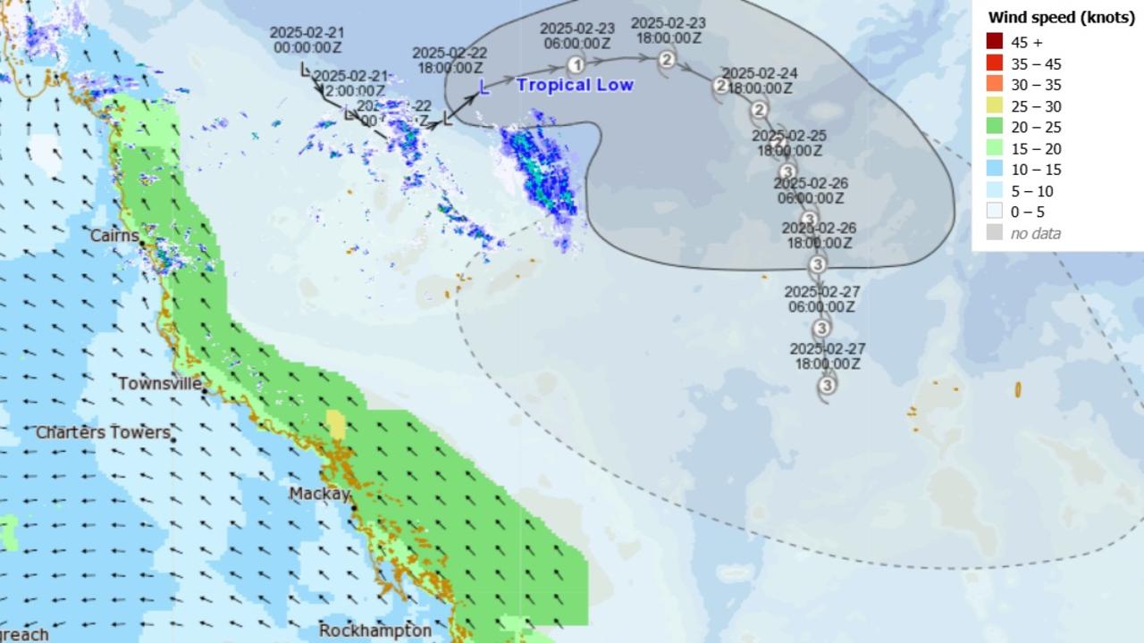
At 4.45pm on Sunday, the BOM officially named Tropical Cyclone Alfred, which was a Category 1, while a separate system forming near Western Australia would be called Bianca.
BOM senior metrologist Christie Johnson said the system was tracking eastwards, away from the coast, at about 16km/h on Sunday afternoon.
“It is moving eastwards, so away from the coast, and that will continue for the next couple of days as we go into the second half of the week,” Ms Johnson said.
“Though it does look like it might start to tend a bit more southerly, and it is currently forecast to be a severe category three cyclone by about Wednesday.”
🔃 Tropical Low 22U is developing off the #Queensland coast and is forecast to become a tropical cyclone later today, remaining well offshore until at least the middle of the week.
— Bureau of Meteorology, Queensland (@BOM_Qld) February 23, 2025
ðŸ›°ï¸ Check the satellite: https://t.co/lGWClL6S3Npic.twitter.com/aKP573SOLf
Ms Johnson said the system would likely shift southward later in the week, but its ultimate track remains unclear.
“At that point, it will be starting to move in a more southerly direction,” she said.
“From there, there are a few possible scenarios (where) modelling has some scenarios in which the cyclone might curve back around to the southeast and have some impact on the mainland coast.
“There are other scenarios where it continues off to the east or to the southeast and continues away from the coast, so it’s a little bit early to say what where it might be impacting, or whether it will even impact the Queensland coast if it does move back towards the coast.”
She said anywhere between the tropics and southeast Queensland could potentially be impacted if the cyclone did move back towards the coast.
“We’re just asking everybody to be alert, to keep an eye on the forecasts, but at this stage, it’s too early to say where, where it might have an impact,” she said.
“If you have a look at the (cyclone tracking) map that’s on the website, the grey zone is showing the possible locations of that centre.
“At the moment, there’s not really a good consensus among the modelling about where exactly the low might travel, but it does look like if it is going to recurve back towards the coast, it’s more likely to happen sort of later next week, which is why it’s a little bit early for us to have a good handle on where, where it might actually go.”
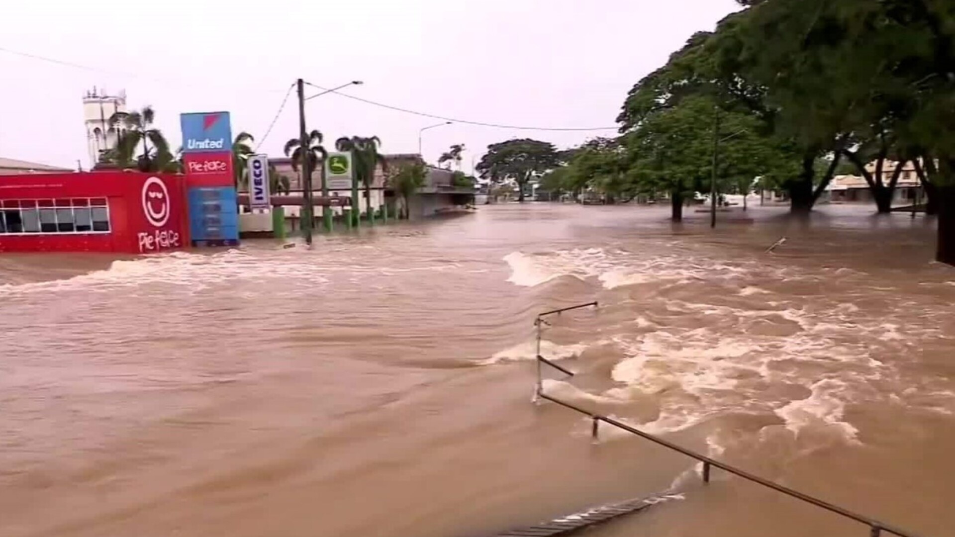
In the meantime, she said the weather system was whipping up some strong south-easterly winds and quite large waves – leading to the BOM to issue a marine wind warning, with strong winds expected to impact the coast at Townsville, Mackay, and Capricornia on Sunday and Monday.
“Even if (the cyclone) doesn’t come near the coast, we are still expecting some impacts to marine conditions already, and for through the week,” she said.
“As we always do, we ask the boaties to get the latest warnings before they go out on the water and keep an eye on what’s happening there.
“We might see some high tides, particularly … from the middle of the week onwards so that could cause some minor inundation of low lying areas near the coast, around high tide, with high tides being given a little bit of an extra punch from the tropical cyclone – much of the east coast would be at risk of that … dependent on exactly where that low goes.”
On Monday and Tuesday, the Herbert and Lower Burdekin district was expected to be partly cloudy, with a medium chance of delivering up to 5mm of rain, with slightly above-average summer temperatures.
More Coverage


Originally published as Cyclone Alfred officially named on Sunday, as BOM warns people to be vigilant
Join the conversation
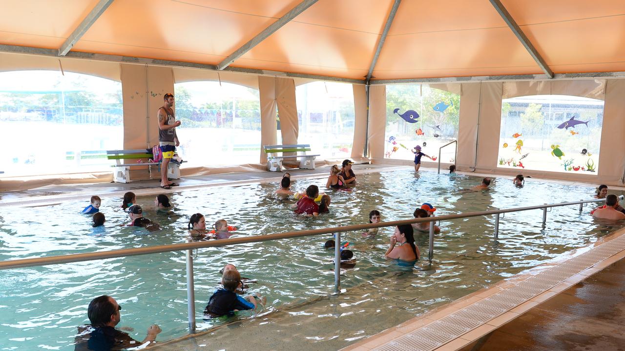
Final lap: Families farewell long-time swim centre operators
Parents and children are saying goodbye to the beloved long-term managers of the Northern Beaches Leisure Centre as council hands over the facility to a new operator from the state’s south-east.
Read more

‘Grotesque and cowardly’: Man’s 643 vile calls from inside cell
A Townsville judge has blasted a man with a history of violence for making a series of “vile” phone calls in which he threatened to kill a woman and insulted her intelligence, noting he has never held a job.
Read more

Film festival will feature local talent
Audiences in Townsville can look forward to a captivating mix of short films, showing finalists from the Very Short Film Festival along with memorable selections from previous years.
Read more
‘Failure’: Push for end of ‘crippling’ NQ insurance costs
A North Queensland MP is pushing for the government to abolish insurance stamp duty to provide relief for those doing it tough with cost-of-living pressures in the wake of the recent floods.
Read more

In pictures: The Table NQ
After being pushed back a week due to the weather, members and guests at The Table NQ February Breakfast were excited to see clear skies to watch the sunrise over Riverway Stadium.
Read more

High tea venture bringing people together ‘one tea at a time’
Inspired by her English grandparents a Townsville local is celebrating her new business, bringing a touch of elegance with the timeless tradition of high tea.
Read more