
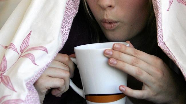
Toowoomba set for colder mornings after light rainfall
TOOWOOMBA is set for some colder than average temperatures early next week, following some welcome but short-lived rainfall.
Toowoomba
Don't miss out on the headlines from Toowoomba. Followed categories will be added to My News.
TOOWOOMBA is set for some colder than average temperatures early next week, following some welcome but short-lived rainfall.
The Bureau of Meteorology said nearly 15mm of rain fell on the Garden City between Friday and yesterday, representing virtually of the rainfall for the month of August so far.
Meteorologist Peter Markworth said the rain was caused by a trough moving through the region, with cooler and windier conditions to follow on Sunday and Monday.

"We've had that trough and that rainfall move through yesterday," he said.
"Usually after one of those troughs, we tend to get enhanced air and lower temperatures.
"(Sunday and Monday will be) just a touch below the average conditions (for August) and we do expect the state to have lower than average temperatures.
"Typically, we see Toowoomba at 18.8C, so Sunday and Monday will be almost five degrees below the August average."
Other parts of the Darling Downs enjoyed slightly larger rainfalls, with Bony Mountain in the Southern Downs receiving 30mm on Friday.
Mr Markworth said cool temperatures were not expected to stick around for long.
"It will actually get warmer again as another trough approaches the region later in the week," he said.
"We'll see temperatures getting up to 24 degrees by Friday (and) there's a good chance of further rainfall by next weekend."
FOUR-DAY FORECAST
- Sunday: Partly cloudy, 6C-14C
- Monday: Partly cloudy, 6C-14C
- Tuesday: Mostly sunny, 6C-19C
- Wednesday: Partly cloudy, 9C-20C