
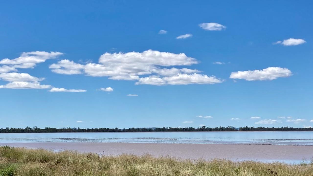
Condamine River flood plain swells as waters move west toward Cecil Plains
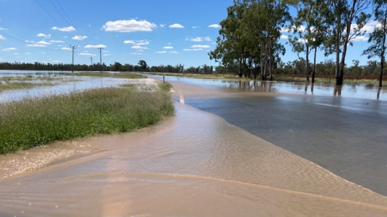
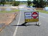
Floodwaters are beginning to recede, but the Gore Highway remains closed at Pampas.

Toowoomba
Don't miss out on the headlines from Toowoomba. Followed categories will be added to My News.
Floodwaters from the Southern Downs have made their way down the Condamine River to the flood plain between Pampas and Yandilla.
The Condamine River cut the Condamine Bridge on the Gore Highway at 7pm on Thursday night, with the road still closed at the time of going to print.
The water level at the Tummaville Condamine River monitoring station was 8.29m at 3pm yesterday.
The Condamine River at Cecil Plains on Friday morning was at 5.33m and the Bureau of Meteorology said the river was likely to exceed the minor flood level (6m) yesterday afternoon.
Flooding has also affected a number of other roads.
At the time of going to print yesterday, floodwaters had also closed Bostock Road at Pampas, Yarramalong Road at Tummaville, Grasstree Road and Owens Scrub Road at Tummaville, the Millmerran Leyburn Road, Tummaville Road at Kincora, and the Toowoomba Karara and Clifton Leyburn Roads at Ellangowan.


‘I’ll never be cured’: Disability advocate shares ongoing cancer battle
Robyn Cavanagh has already written her grandkids’ birthday cards for the next 10 years, and cards for every other family milestone in between. She was told she wouldn’t be around but continues to defy the odds.

Inside US Navy’s largest missile sub during Brisbane visit
USS Ohio's sailors are breathing fresh air in Brisbane after joining the Talisman Sabre military exercise, as a rare tour reveals life inside America's most heavily-armed submarine. PICTURES

Darling Downs police find meat cleaver, drugs, knives during Jack’s Law search
Darling Downs police have conducted 361 metal detection ‘wandings’ since July 18 following the expansion of knife prevention legislation Jack’s Law.

‘Complex scene’: Police begin probe of fatal glider crash
Police are working to understand what caused a glider to crash and claim a man’s life, just days after a separate crash in the same region killed two experienced pilots.

‘I’ve lost too many family members’: Remembering the atrocities of the Ezidi genocide
Hassan Ali remembers a time when his bustling family would gather for delicious meals and young children would be running around laughing. But now all he can think about are all the people missing from the table.

Construction paralysed: 77k homes, Olympic venues at risk
Productivity in Queensland’s construction industry has plummeted while the cost of projects will surge unless there are major reforms, a damning new report reveals.