Severe storm cells leave trail of damage across Wide Bay Burnett
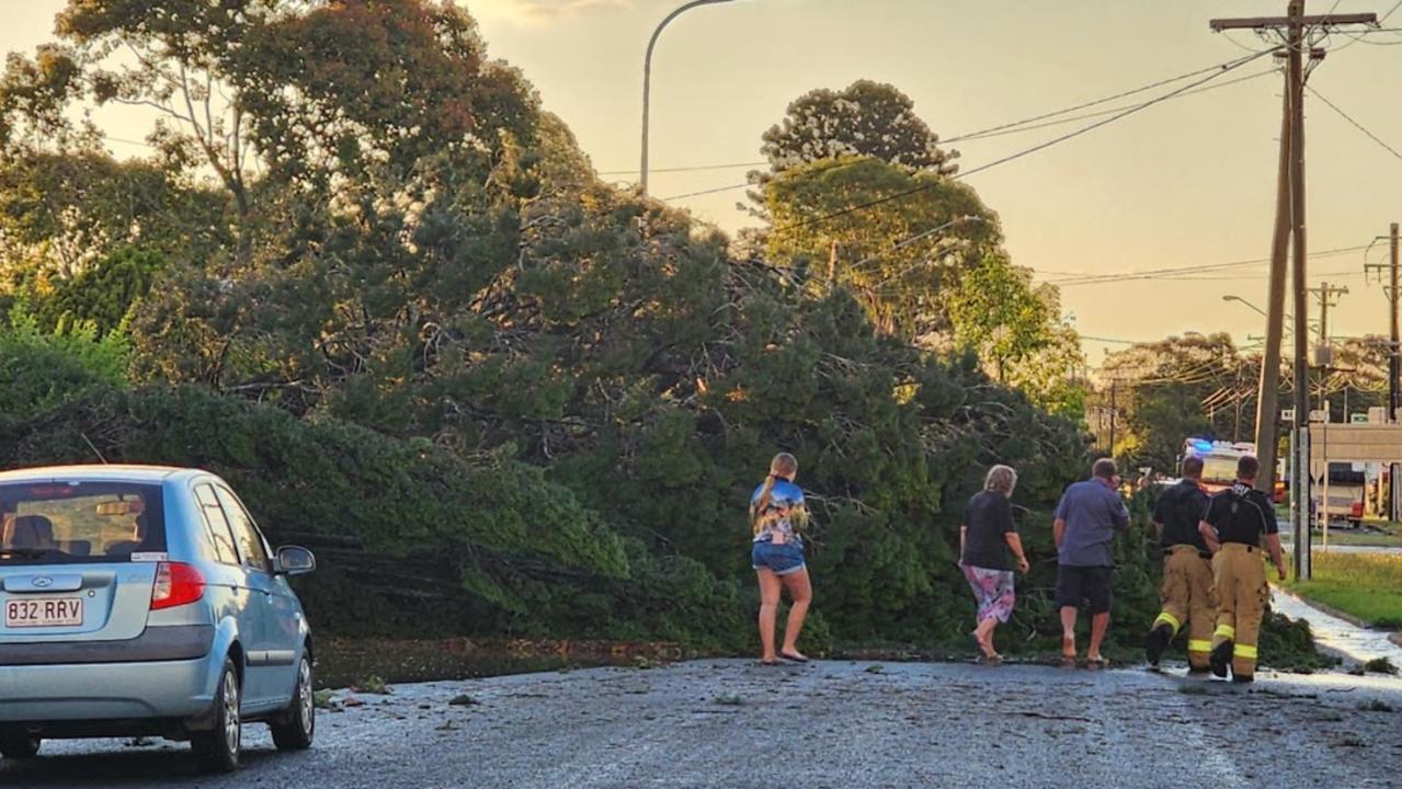
Thousands of homes were left without power overnight - and some remain without power today - after intense storm cells left a trail of carnage again on Thursday afternoon, bringing down thousands of trees and powerlines. NEW PHOTOS, VIDEO
South Burnett
Don't miss out on the headlines from South Burnett. Followed categories will be added to My News.
More than 2000 Gympie and Fraser Coast residents were still without power on Friday after a series of severe storm cells bearing highly destructive winds ripped across the Wide Bay on Thursday afternoon.
The cells, which passed through Widgee, Pie Creek, The Palms, Glastonbury, Gympie, Bauple and Glenwood in a matter of minutes, bore little rain and hail but powerful winds.
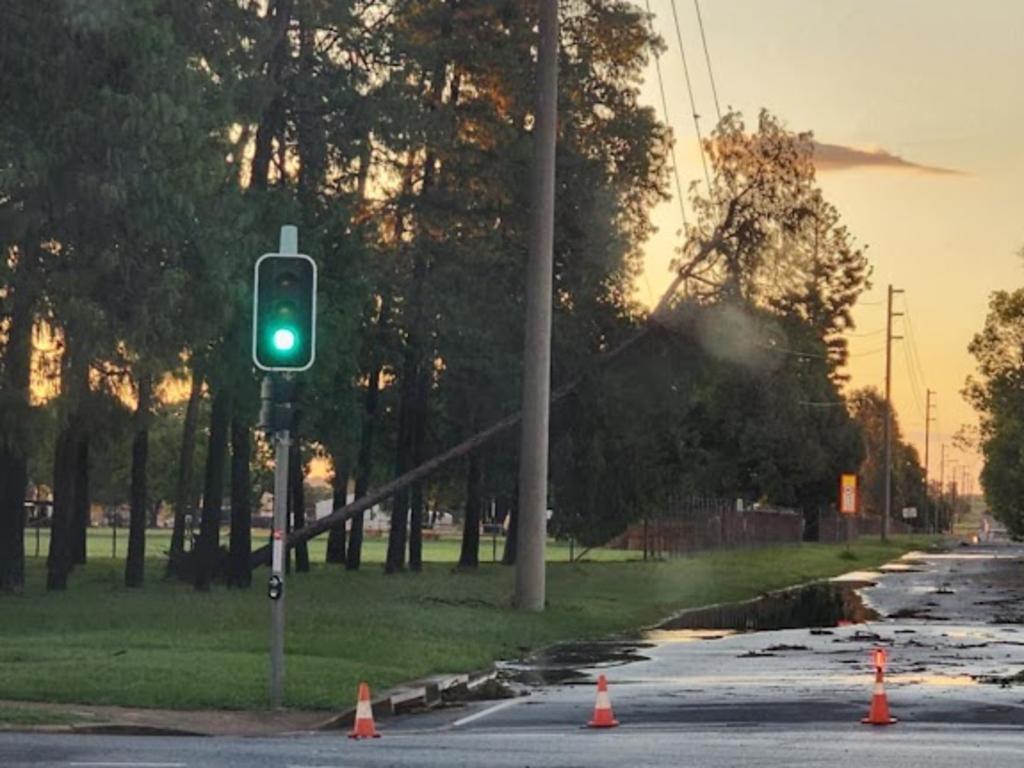
The storms left a trail of damage, knocking down power lines and leaving thousands without electricity overnight.
As of 8.40am Friday more than 2200 homes were still without power in those areas, with Energex and Ergon staff working to restore services.
Another 51 homes further north on the Bruce Highway, at Berajondo and its surrounds, were still without power Friday morning.
One severe cell which crossed parts of the Bundaberg region tore down a massive tree at Berajondo.
Footage shared by Higgins Storm Chasing on the group’s Facebook page showed the moment the tree toppled, roots and all, leaving a gaping hole in the ground.
One of the residents can be heard screaming “oh my f-----g God” as the tree tips.
Police said about a dozen SES callouts were made to the Fraser Coast region as a result of Thursday’s storms.
There were additional isolated callouts to other regions hit by the storms.
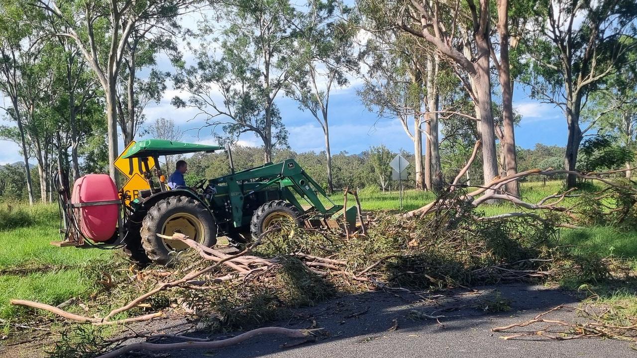
Widgee resident Gayle Holmes said there were 18 trees down on her property.
“I have been living in Widgee now for 24 years and I’ve never seen here the destruction done in less than five minutes,” Ms Holmes said.
“What a wild wind and rain like a mini cyclone.”
Glenwood’s Jamie-Lee Robinson said the power cuts were a major issue for regional residents.
“I just did my shopping and now all the food for the next wk (sic) is going off and I can’t replace it … yay,” Ms Robinson said.
A Pie Creek resident said that was not much rain and no hail in the storm which hit shortly after 2pm and lasted 10 minutes, but that she had never seen wind like it since moving there five years ago.
Multiple trees blocked roads on the Southside and at Pie Creek and Langshaw after the storm.
BOM meteorologist Shane Kennedy said the small and isolated nature of the storms meant there was “not much” in terms of data and observations.
The BOM had issued warnings as the cells developed, saying they were capable of producing winds gusts of more than 90km/h and hail larger than 2cm.
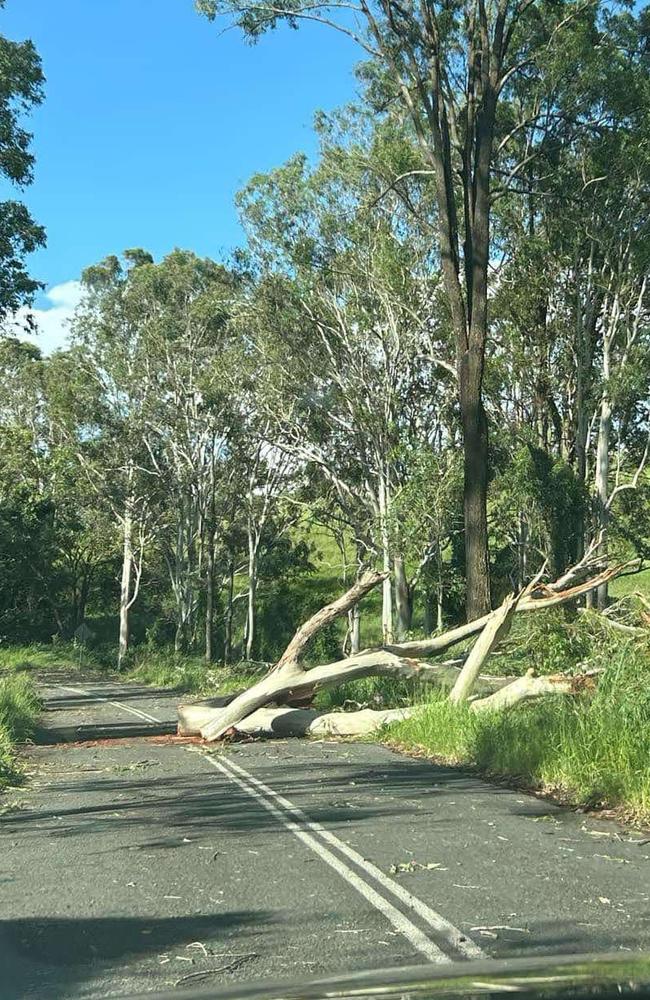
The highest wind gust “officially” recorded however was 43km/h at Gympie, which was only hit by the fringes of one of the cells.
Mr Kennedy said weather conditions were “still a little bit unstable” but any repeat of Thursday’s weather in the next few days was unlikely.
Thursday’s storms were the latest in a string of wild weather in the region, including an intense cell that “shook homes”, turned the night into day, and sounded like “bombs” going off woke residents in parts of the Wide Bay and Burnett overnight Wednesday.
These storms were partially driven by extreme heat across the region, including temperatures which reached the high 30s at Gayndah, Gympie, Bundaberg, and Maryborough.,
Earlier: Severe weather could bis expected to again hit the battered South Burnett and Wide Bay today (Wednesday) and tomorrow, with some amateur weather watchers warning that conditions pointed to some very dangerous storms and even supercells and “tornadoes”.
A Bureau of Meteorology spokesman said Wednesday morning atmospheric conditions were conducive to severe thunderstorms with large hail, damaging winds and rain in the region.
Weather watch pages with large social media followings including Higgins Storm Chasing and Tim’s Severe Weather warned that “severe and very dangerous storms” looked likely.
No official warnings were issued by the BOM.
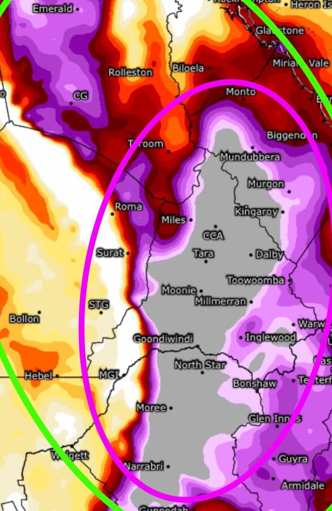
SEQ Weather said a SWEAT map (pictured) doing the rounds on social media did not indicate up to 400mm of rain as some people had misinterpreted.
It instead showed the potential for severe weather by combining a number of factors such as moisture and wind speed.
SWEAT of more than 300 indicated moderate potential for severe storms, more than 400 indicated possible storms with tornadoes and more than 500 indicated high potential for severe storms, they said.
The region – particularly the South Burnett – was still mopping up on Tuesday and Wednesday following a destructive storm with strong winds on Monday, on the back of weeks of weather that brought periods of flash flooding.
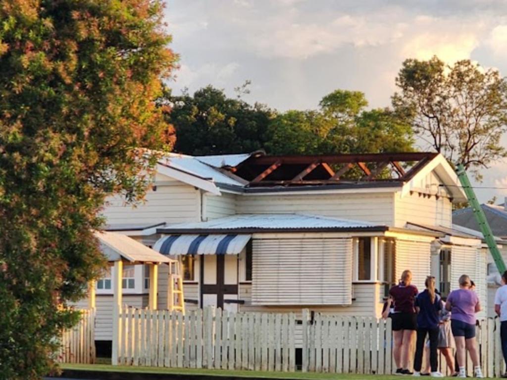
By Tuesday afternoon, January 14, power had been restored to almost 150 properties in and around Kingaroy after wind gusts of more than 90km/h left a trail of destruction and at least one person injured by a tree falling into a house.
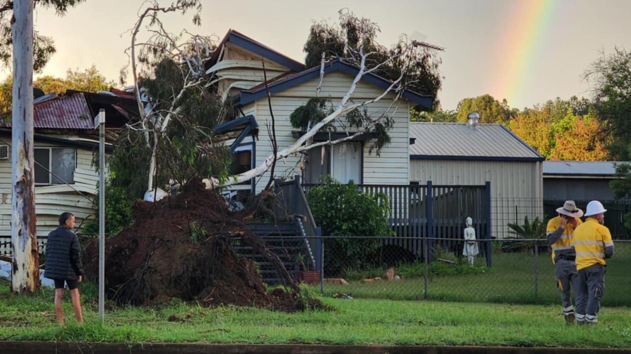
An Energex spokesman said late Tuesday all remaining outages should be repaired by Tuesday night, failing any unforeseen secondary faults.
Long time Kingaroy resident Shay Yeats described the storm as “catastrophic”.
“(It was) catastrophic! Like a mini tornado just out of the blue that whatever was in its path it took!”
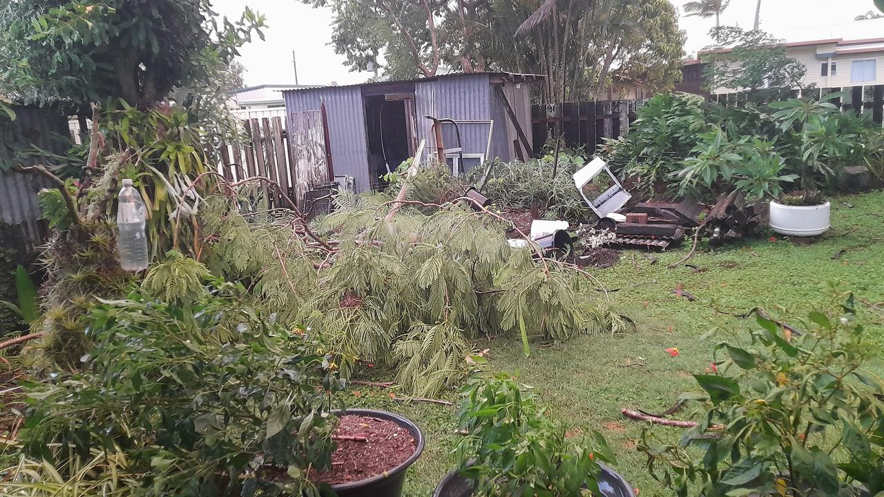
“We have not had this out at our place ever. We have been at this five acre place out of Kingaroy for 20 years and have not had anything like this hit here. It is unbelievable.”
Ms Yeats lost power Monday evening during the storm and was still in a blackout on Tuesday afternoon.
A Bureau of Meteorology spokesman warned the region was in for more severe weather, including possible rain, hail and high winds, on Wednesday afternoon and Thursday.
The large, quick moving storm cell hit Kingaroy on Monday afternoon leaving a grail of destruction, including fallen trees and damaged houses in its wake.
It also impacted Goomeri, Murgon and Kilkivan.
A Kingaroy man aged in his 70s received a head injury when a tree fell on his house and was transported to Kingaroy Hospital from Haly Street at 5.48pm.
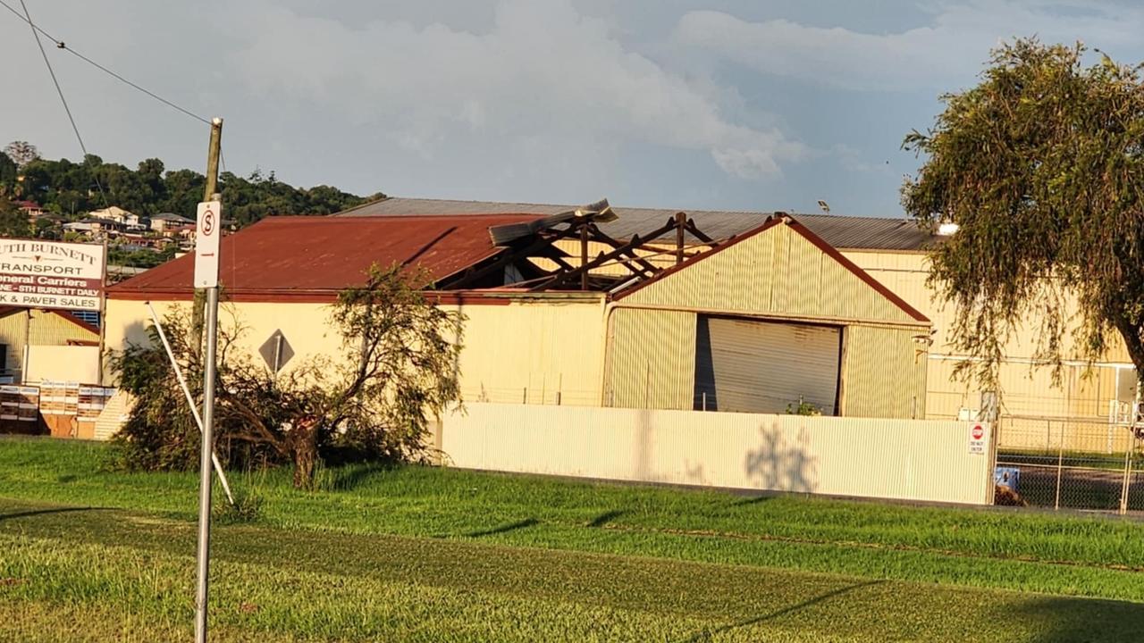
Another Kingaroy resident posted a video showing her home being hit with gale force winds in what was described as a “wild microburst” by weather watchers.
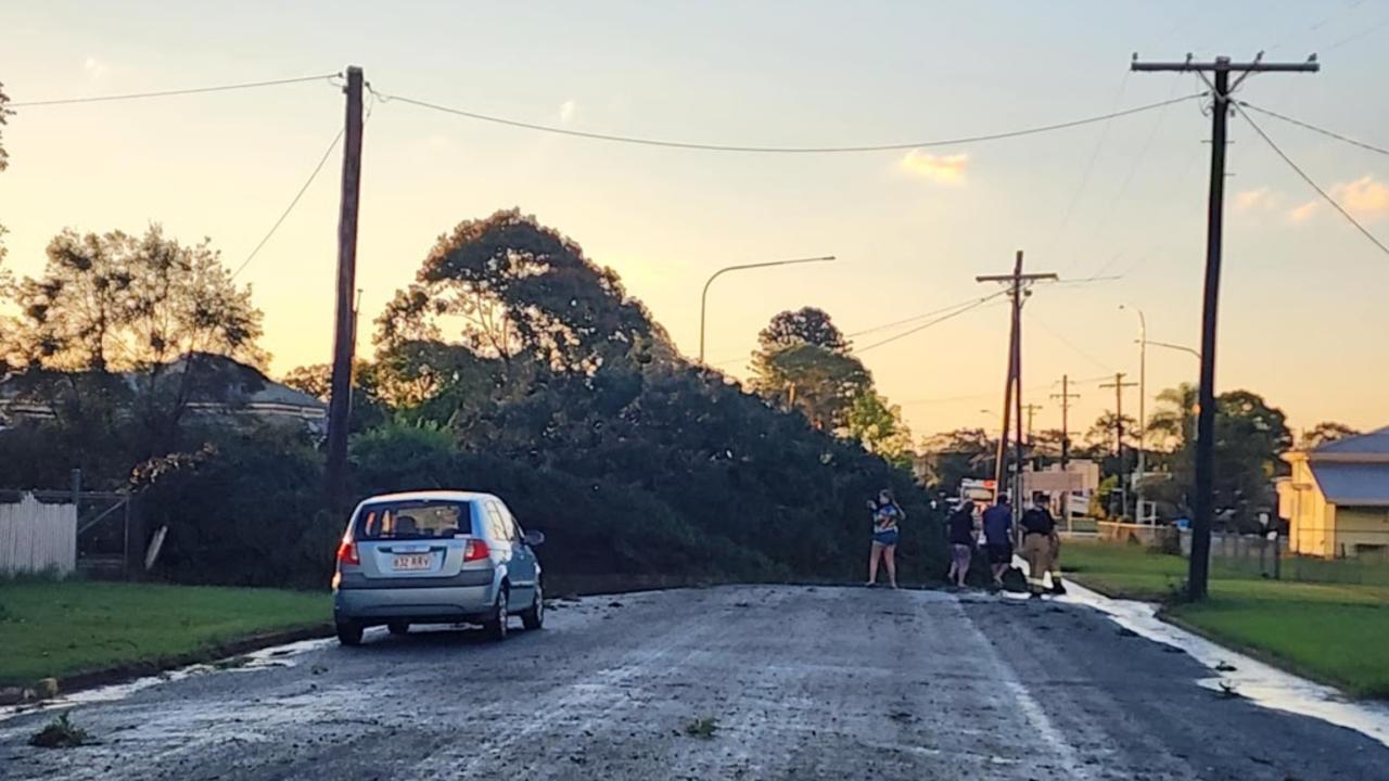
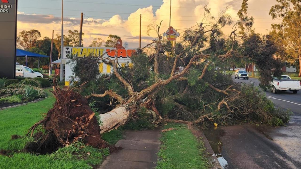
“While 91km/h winds were recorded … locally higher gusts are very likely to have occurred,’’ Higgins Storm Chasing reported.
“These winds brought down large trees (some onto houses), brought down power lines and caused tree damage right across town.”
The woman who posted the video said she was stuck on her deck during the storm after her ‘darling son shut the front door behind me’.
“As you can see, we didn't get wet where we were but for a while there you couldn't even see the road. was scary but amazing at the same time.’’
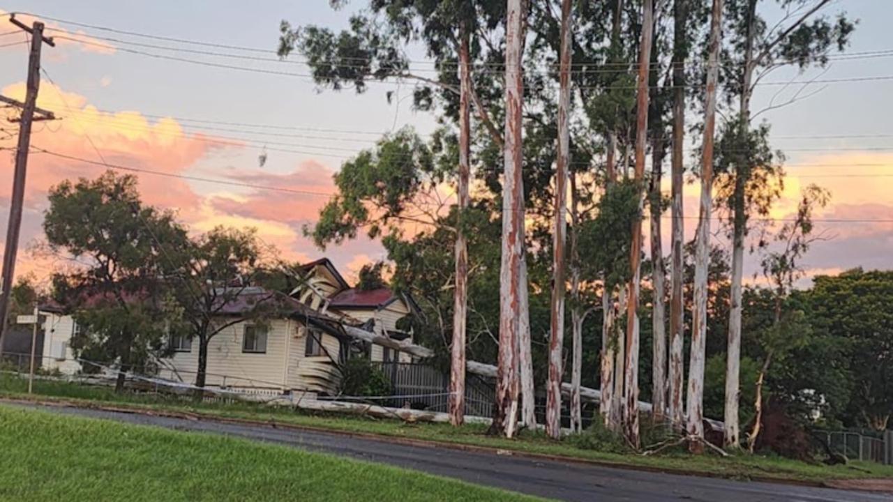
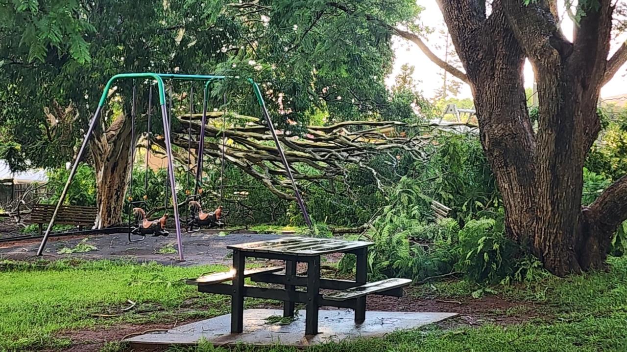
Trees were also brought down in Apex Park, leaving the public area virtually unusable.
Further northwest, another storm cell hit the North Burnett and Gayndah.
Earlier – Wide Bay Burnett braced for flash flooding
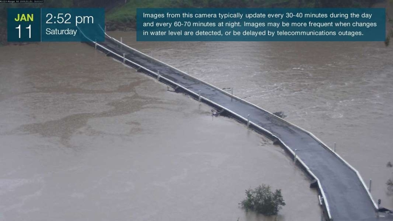
The Mungar Rd bridge in Tiaro is now closed to all traffic due to rising Mary River water.
The closure was formalised at 4:03pm while water levels in the river at Tiaro sit at 6.39m, just 21cm off the bridge.
Earlier, a severe thunderstorm with “massive” lightning strikes has lashed Hervey Bay as communities across the Wide Bay Burnett stay on alert for flash flooding and rising rivers following yesterday’s heavy rain.
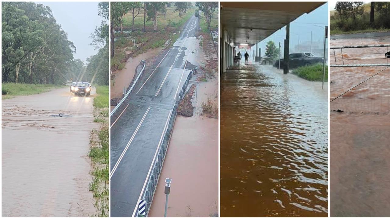
Residents in the Bay area reported multiple streets, including Urraween Rd and Oleander Ave, had gone under after the quick yet severe rainfall.
Residents are also reporting power outages in Scarness, Kawungan, and Torquay, with the Fraser Coast Regional Council’s disaster dashboard confirming this.
Some took to social media to share their experiences of the storm, with one resident thinking their “house got hit by lightning.”
There is also now a signal fault at the Grevillea St intersection in Kawungan off the back of the electrical storm.
The South Burnett Regional Council have advised residents in their LGA “that flash flooding has eased and water is starting to recede” at midday on Sunday.
“Council has sustained significant damage to our road network,” the statement read.
“Our crews priority will be to re-open our roads as soon as possible.
“Bridges cannot be reopened until bridge inspections can be carried out by certified bridge inspectors.
“We are seeking the community’s patience and understanding while we navigate and inspect our road network.”
The Mary River downstream of Gympie is expected to experience minor flooding, with water levels steadily increasing. At Miva, the river had risen to 7.48 metres by Saturday night, just below the minor flood level of 7.50 metres, which it is forecast to exceed early Sunday morning.
Further downstream, the river at Tiaro is likely to surpass its minor flood level of six metres on Sunday afternoon, while in Maryborough, the river remains below the minor flood level at 3.35 metres and rising with the tide.
Authorities expect Maryborough’s water levels to stay below the minor flood threshold in the coming days.
The Fraser Coast has also seen some road closures over the past 24 hours, with Redbank Rd in Tiaro, Arborthree Rd and Beckmanns Rd in Glenwood, and Netherby and Emerys Bridge Rd in Gundiah all facing rising flood waters.
Mayor George Seymour has confirmed the Mary River is still at the minor flooding level of 6m, but sits below the 6.6m Mungar Rd Bridge.
SOUTH BURNETT
In the South Burnett, a “watch and act” warning for flash flooding remains in place.
Amid the chaos, a car became stranded in rising flood water at Merlwood on Lancasters Rd at about 7.30pm Friday.
A woman in her 50s to Murgon Hospital, while two other occupants escaped unscathed and were given a ride back to town in a fire truck.
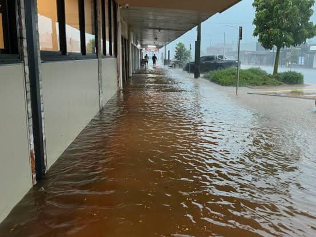
By 8pm Friday, the South Burnett Regional Council issued a warning urging residents to avoid travel due to widespread flash flooding, road damage, and infrastructure hazards.
Residents were advised to stay in safe places, avoid floodwaters, and share updates with neighbours and loved ones.
The Queensland Police Service also issued an emergency alert watch and act at 9pm as severe thunderstorms continued to bring intense rainfall.
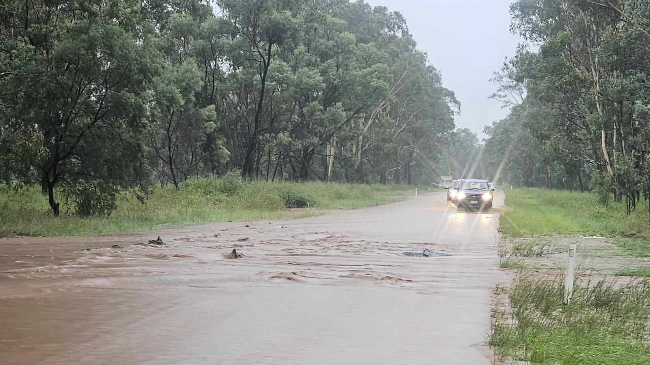
On Saturday morning, Mayor Kathy Duff said she and her fellow councillors were actively assisting the SES by filling more than 400 sandbags and distributing them to residents in need.
“I urge everyone to please drive to the conditions, stay off the roads if you can, and if it’s flooded forget it. Please stay safe,” Ms Duff said.
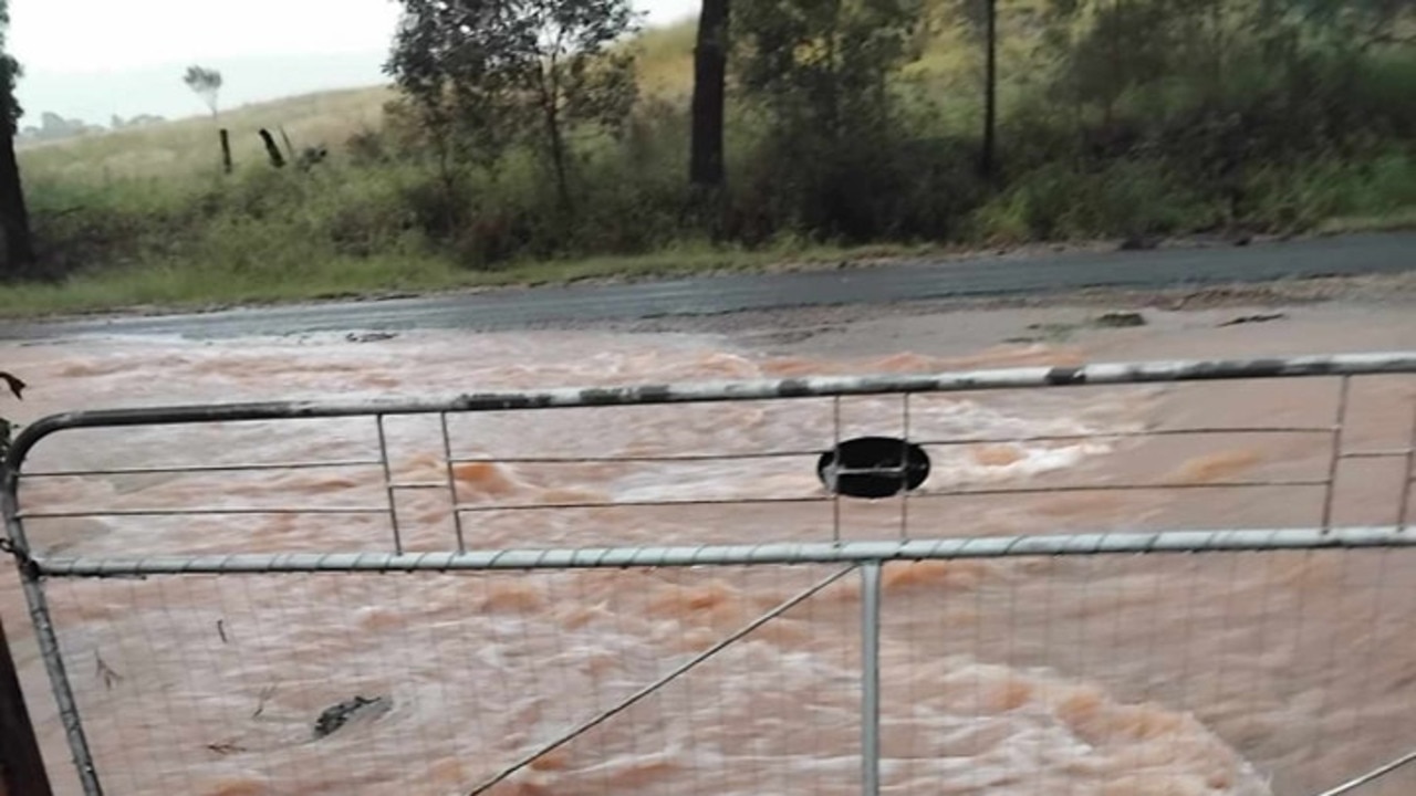
Social media reports from residents on Saturday morning revealed varied rainfall measurements across the region, including 30mm at Taabinga near the airport, 49mm at Oakdale, 21mm at Sandy Ridges, and a staggering 93mm in an hour on Stonelands Road near Hivesville.
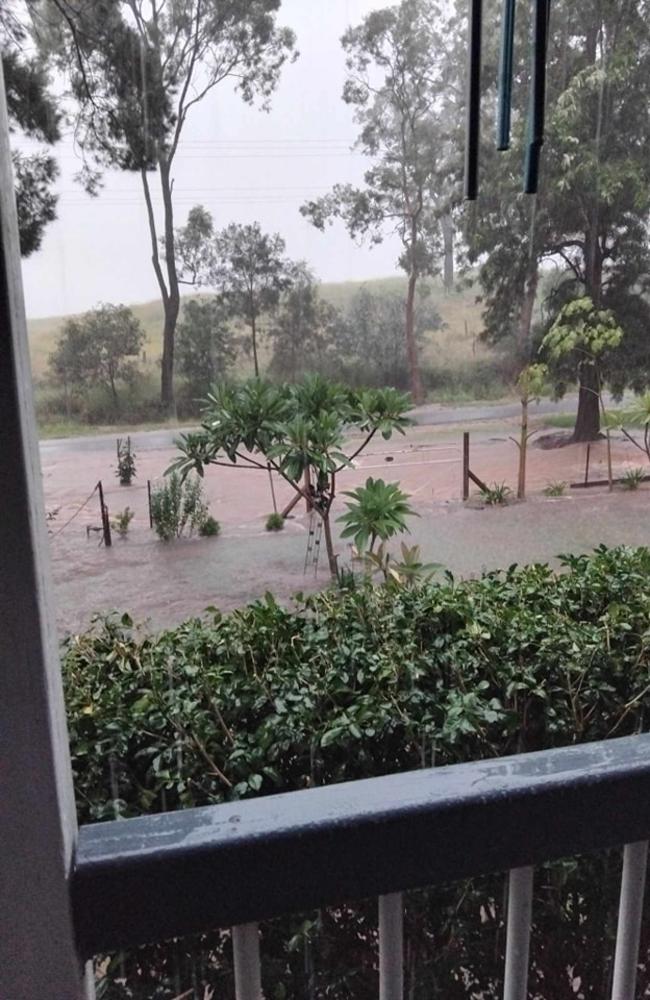
The flooding has disrupted local events, with Kingaroy Junior Football Club postponing Saturday’s trials due to saturated fields.
The club will announce new dates on social media.
Nanango parkrun also cancelled its Saturday morning event due to unsafe conditions.
Road closures also impacted the Bunya Highway at Dingo Creek, with authorities reminding drivers to avoid flooded roads.
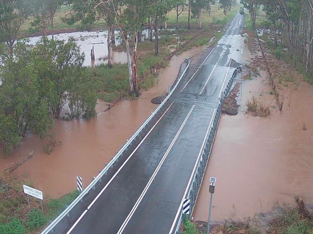
On Saturday BOM advised moderate flooding was occurring along the Stuart River at Proston.
Minor flooding was also occurring along the Boyne River at Cooranga.
The only section of the Boyne River which may reach the minor flood level (2.5m) was at Dunollie.
Heavy rain and flash flooding also smashed the region on December 31, with Kingaroy experiencing record December rainfall.
GYMPIE & FRASER COAST
Saturday’s flood alert also coincides with a grim 14-year anniversary for the Wide Bay Burnett.
On January 11, 2011, floods raged across the state including at Gympie, where the Mary River peaked at more than 19m, and Maryborough were both inundated.
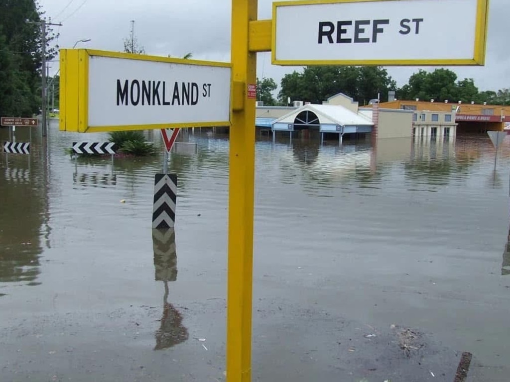
Fraser Coast Mayor George Seymour said with another 20mm forecasted for Sunday, it’s possible the Mary River at Tiaro, which was at 5.5m, could reach the minor flood level (6m).
“Looking at the heights now it won’t go over the bridge for at least today.
“It’s possible we will reach 6.6m (on Sunday) and require the closing of the bridge with further falls.”
The Mungar Rd Bridge now has the possibility of closing overnight, after Mayor Seymour confirmed it had reached the minor flood level on Saturday afternoon.
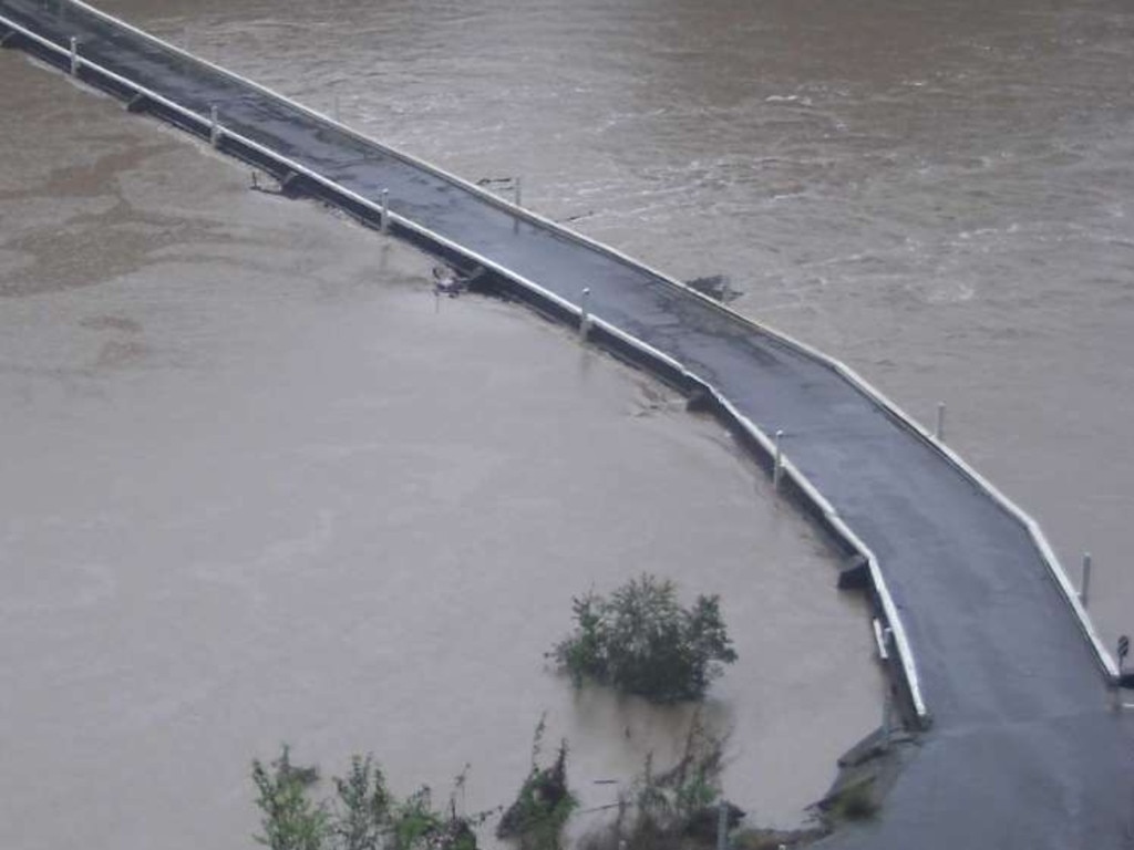
Minor flooding is likely along the Burrum River.
As of 8.30am Saturday, the Burrum River at Howard was at 5.96m and rising, below the minor flood level (6m) with a minor peak likely.
Mungar St near St Mary and the Torbanlea Pialba Rd, Takura were closed.
Mr Seymour also said: “Of the low-lying areas, like the end of Main St, Booral Rd and the Bunya Ck area, people will expect there to be flash flooding in the low roads”.
More than 90mm fell at Glenwood overnight.
BOM advised minor flooding may occur along the Mary River downstream of Gympie. However, there was no warning in place for Gympie itself.
The Bureau of Meteorology forecasts easing rain by Saturday afternoon, with no heavy rainfall expected for the coming week.
For assistance during non-life-threatening emergencies, contact SES at 132 500, or use the SES Assistance app.
In life-threatening situations, call triple-0 immediately.
BUNDABERG
Bundaberg experienced stormy conditions on Monday with heavy rain, strong winds, and localised damage reported across the region.
Senior Meteorologist Pieter Claassen confirmed Bundaberg recorded 6.4mm of rain, with a nearby gauge measuring up to 15mm.
The highest wind gust in Bundaberg reached 46km/h at 6:30PM.
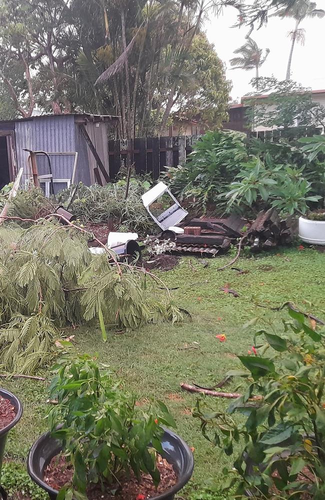
In North Bundaberg, resident Andrew Finnegan shared on Facebook that his backyard sustained significant damage during the storm.
He speculated a “microburst tornado” had hit his property.
One commenter responded, sharing the storm had blown down her banana trees, showcasing the destructive power of the winds.
However, Higgins Storm Chasing clarified the event was not a tornado but a microburst — an intense downdraft of wind from the storm that can mimic tornado-like damage but without rotational wind patterns.
Despite the severe conditions, no weather warnings were current for the Bundaberg region on Monday.
More Coverage
Originally published as Severe storm cells leave trail of damage across Wide Bay Burnett


