
Queensland frost alert: Sub-zero cold snap predicted
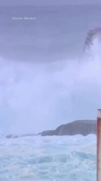
An extreme Antarctic weather system is set to impact Queensland with a significant influencer of climate just recording one of its strongest levels on record.
QLD News
Don't miss out on the headlines from QLD News. Followed categories will be added to My News.
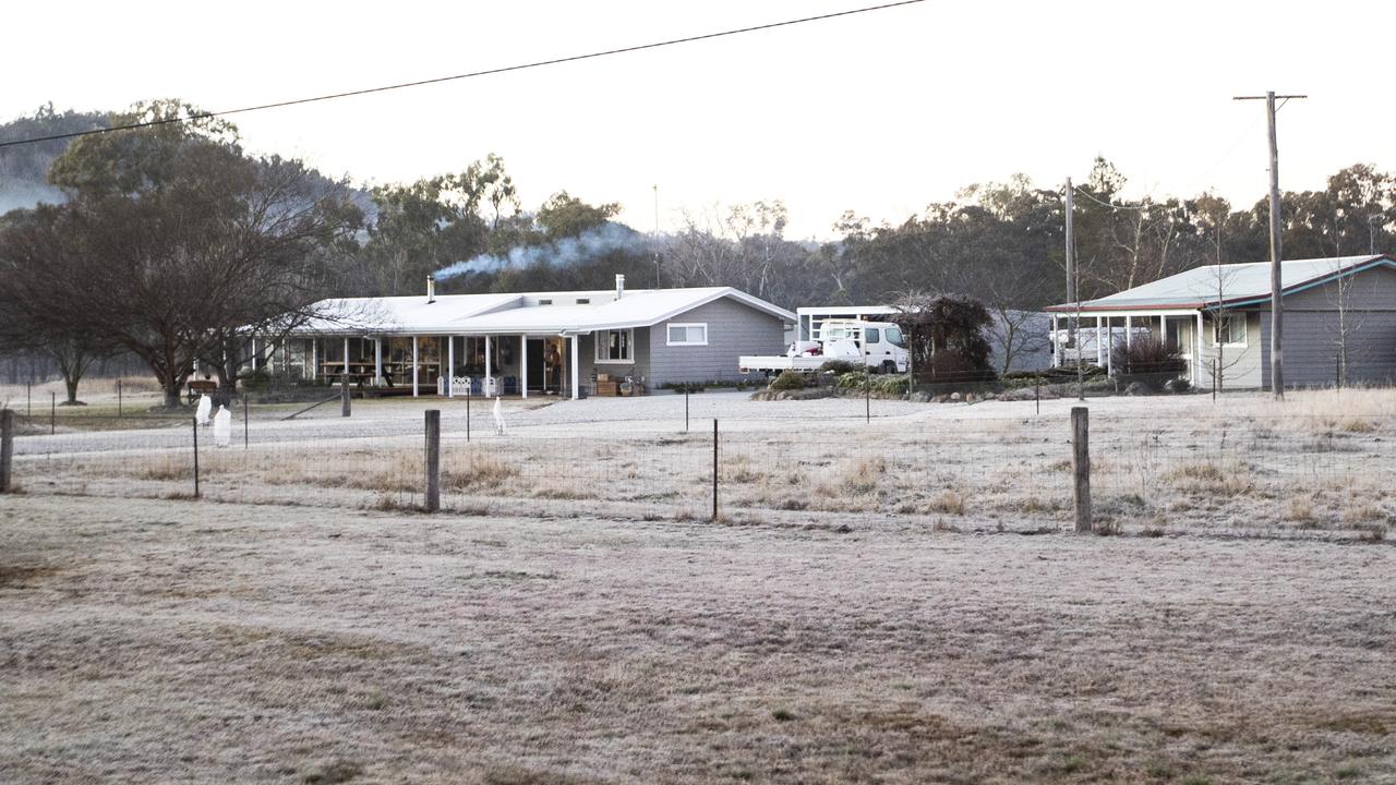
Widespread frosts and subzero temperatures are forecast for Queensland over coming days ahead of what is shaping as a brutally cold winter.
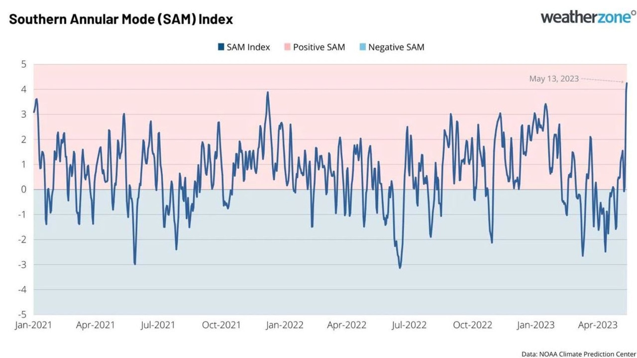
The Southern Annular Modular (SAM), a significant influencer of climate in Australia, has just recorded one of its strongest levels on record.
The “exceptionally high” value of +4.2 was recorded by meteorologists on May 13 and is among the top nine highest values reported in over 50 years.
The figure reaffirms Australia will be impacted by a positive phase of the SAM this winter.
“A positive phase of the SAM during winter moves the rain and snow-bearing cold fronts further south and causes easterly winds to increase over eastern Australia,” WeatherZone meteorologist Ben Domensino said.
“This typically reduces rainfall and snowfall over parts of southern Australia and allows more rain to fall in parts of Queensland and NSW.”
Queensland will get another taste of an early winter this weekend with widespread frost and freezing temperatures forecast.
Senior meteorologist Harry Clark said Brisbane could expect the mercury to hover around 9C in the mornings, with Ipswich dipping to 3-4C.
It could drop to as low as 0C across the Darling Downs, particularly in Oakey, Warwick and Stanthorpe.
“Certainly quite cool mornings coming up, and I guess once you get down to sort of as close to 0C temperature as we can start getting frost,” Mr Clark said.
Even the maximum temperatures are giving Queenslanders a reason to keep their winter woollies handy.
“Maximums are on the cool side of things as well, generally low 20s for Southern
Queensland, 20s through Central Queensland and high 20s for Northern Queensland, generally a couple of degrees below average,” Mr Clark said.
Southern Downs Region set the stage for the state’s coldest temperatures on Friday morning, with Applethorpe registering a chilly -0.6C, closely followed by Charleville at 0.3Cs, and Wellcamp airport at 0.6C.
What is the SAM?
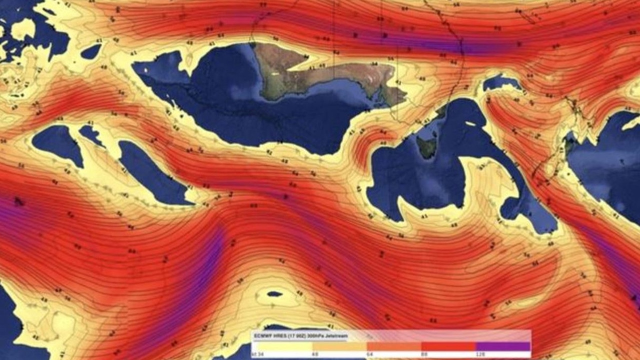
The SAM refers to the displacement of the powerful westerly wind belt which flows around Antarctica all year.
These winds carry cold fronts and low pressure systems which are responsible for seasonal rain, snow and wind in southern Australia.
It can have a recognisable influence on weather in different parts of Australia, though the influence is usually at its strongest during winter and summer.
Phases typically last for around one to two weeks and the fluctuation between positive and negative can be random and difficult to predict.
The SAM index has come close to reaching its current height twice in the last two years – in January 2022 and January 2021, according to US Climate Prediction Centre data.
Originally published as Queensland frost alert: Sub-zero cold snap predicted

Exclusive holiday deal: Save 48% and score Bluey’s World tickets
Hype around Australia’s new Bluey’s World experience is building, and now families can score massive savings and tickets to the attraction. FIND OUT MORE
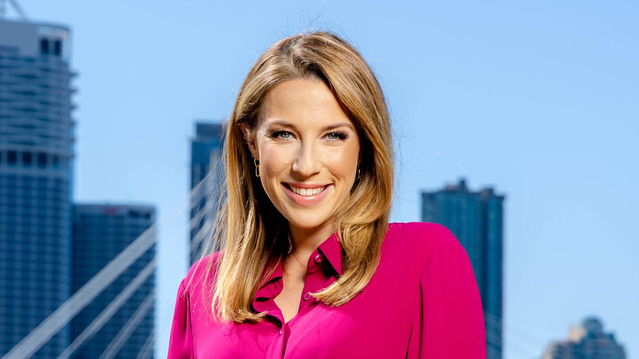
‘Family won’t come second’: Pregnant newsreader’s promotion shock
As Channel 7 grapples with allegations of a toxic workplace culture, the new star of the Brisbane newsroom says she has been able to make her own rules as she steps into her role.
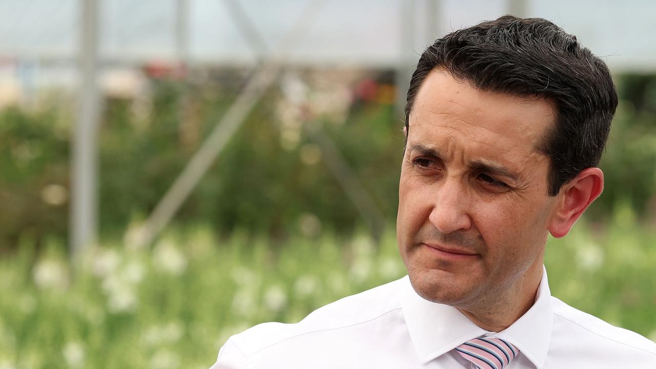
This generation’s last hope. What if it goes wrong?
While the polls suggest an easy victory for the LNP, October 26 will almost certainly deliver several unpredictable results, writes state political editor Hayden Johnson.
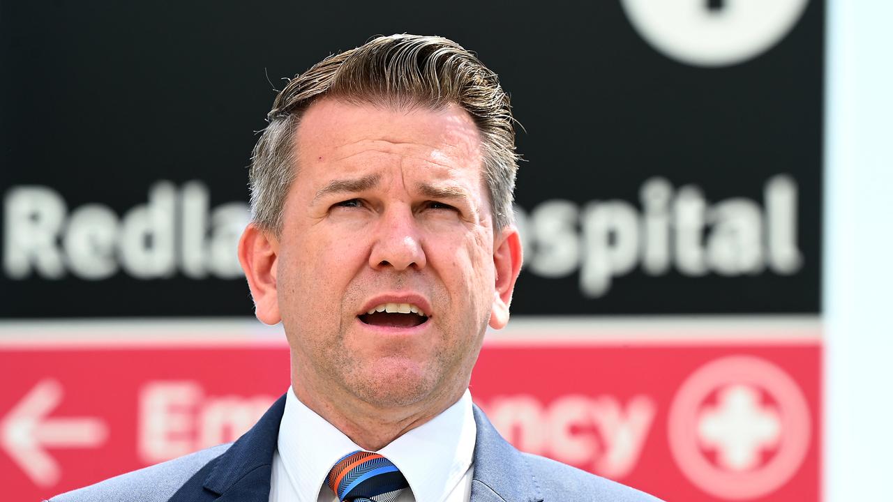
‘Callous cover-up’: LNP explodes over delayed hospital report
Delays in Queensland Health releasing a damning report into Redland Hospital smacks of a “callous, calculated” cover-up, the LNP claims as it enters the final week of election campaigning.
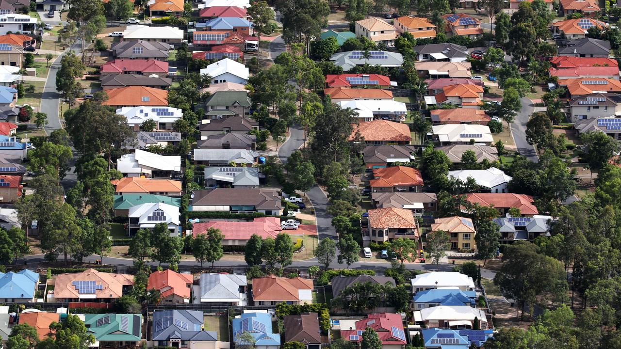
15 reforms but no result: Political challenge as house builds hit critical low
The number of homes being built in Queensland has hit the lowest level in a decade – two years on from a state government housing summit that was supposed to fix the problem.
Real high steaks: Chris Nyst on defending crooks and making movies
He’s the son of a builder turned barrister who carved his own high-profile career in the law, with a sideline in making movies. Gold Coast lawyer Chris Nyst sits down for a lunch chat that covers everything from film festivals to Queensland’s law and order debate. THIS IS HIGH STEAKS