
LOOKING BACK: Mackay, Whitsunday weather in 2020
A climatologist said figures for the district were still ‘historically’ warm given the La Nina conditions.
Mackay
Don't miss out on the headlines from Mackay. Followed categories will be added to My News.
Despite 2020 being the fourth hottest year on record for Australia, Mackay-Isaac-Whitsunday only experienced slightly higher temperatures.
However Bureau of Meteorologist climatologist Greg Browning said the figures were still “historically quite warm temps” especially considering it was a La Nina year.
Mackay recorded temperatures one degree above the daytime average, which sits at 27.5 degrees, and 0.9 degree above the night average of 20C.
Hamilton Island in the Whitsundays sat 0.4 degree above both the day average of 26.8C and night time average of 22.2C.
More stories:
Heavy rain to make for wet weekend in Whitsundays, Mackay
WATCH: Adorable hatchlings soldier into Horseshoe Bay
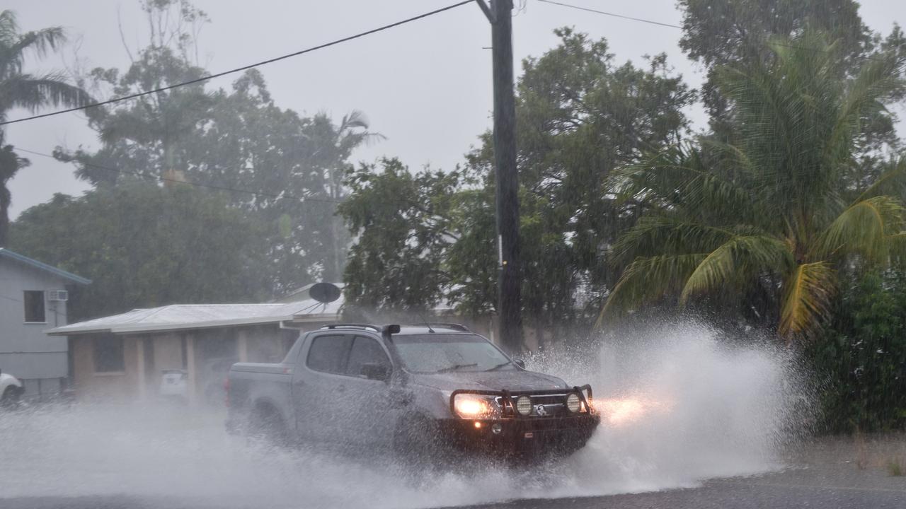
Mr Browning said rainfall numbers also sat within the 90th percentile for the average yearly figures.
Mackay recorded 1450mm throughout 2020, which is 91 per cent of the yearly average totalling 1595mm.
While Hamilton Island received 1447mm, which is 99 per cent of its long-term average.
Mr Browning said figures for Bowen and Moranbah were a little restricted.
Bowen had average temperatures of 29.5C during the day with a minimum of 19.8C throughout the year.
And Moranbah had average day temperatures of 31C, dropping to 16.5C overnight.
More stories:
Focus on water safety after CQ drowning tragedy
‘Mug’ driver loses licence for six months
The annual rainfall figure for the Central Queensland town was 484.2mm for 2020.
Mr Browning said the rainfall figures were “quite interesting” as it was “quite patchy throughout the year”.
“There were quite a few dry months interspersed with wetter months,” he said.
“A few good heavy falls sometimes can make all the difference.”
Mr Browning said being La Nina there were more easterly winds that often kept temperatures down in coastal regions.
Subscriber benefits:
Your dose of Harry Bruce cartoons
Five ways to get more from your digital subscription
BOM’s annual weather figures, released on January 8, showed a band along the coast from Townsville south to Maryborough that “probably had a fair bit to do with those easterly winds keeping temperatures down” in 2020.
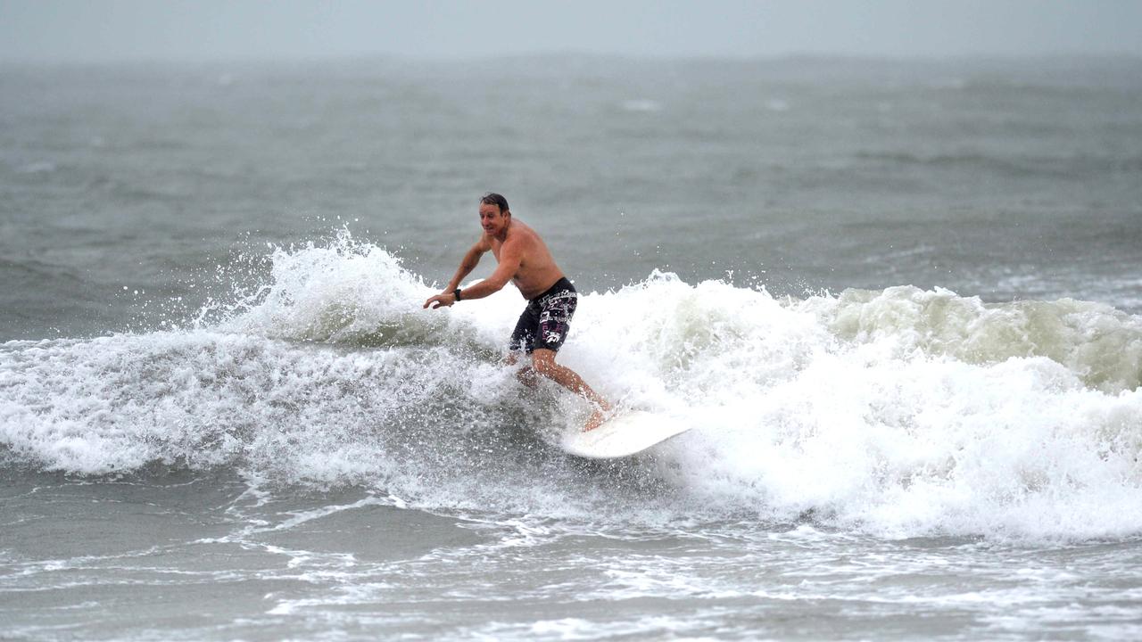
Looking forward Mr Browning said there was still quite a high chance of above average rainfall over the next three months as well as increased cyclone activity.
“The peak period in Queensland is around now until March,” Mr Browning said.
“Cyclones are certainly an issue, waters are quite warm over the Coral Sea at the moment.”
Mackay sale and auction results, week ending May 17
Moranbah proved to be a hot market last week with seven properties selling for a total value of $2.7 million. See the latest auction and sales results.

Fast food chain heading to Airlie Beach for world record attempt
An Aussie fast food chain is making its way across the country on a record breaking food truck tour.

A cement truck has rolled over on highway
Emergency services have responded to a truck rollover on a Central Queensland Highway.
Calls for Qld to get yet another public holiday
Premier David Crisafulli is calling on all of us to celebrate Queensland Day more, although he’s stopped short of advocating for it to become a public holiday. But would that sweeten the deal? HAVE YOUR SAY

‘She had no other option’: Dad’s plea after daughter bullied to death
Lacie was kind, outgoing and bubbly, but relentless bullying deteriorated her mental health to breaking point. Now, in her honour, her father is on a mission to attack it head-on in a bid to save others.

Named: CQ child sex offenders busted breaching reporting conditions
The identities of three Central Queensland child sex offenders busted breaching strict reporting conditions can be revealed along with what happened to them in court.