ATSB releases final report into Eungella double fatal plane crash
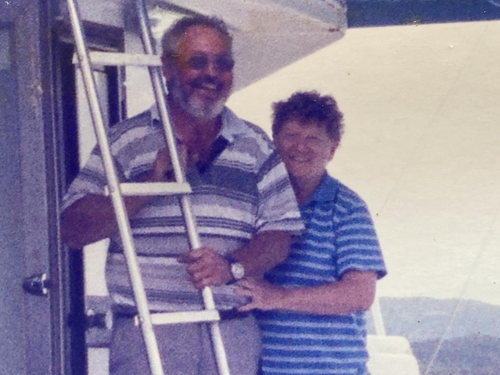
An investigation by Australia’s peak aviation safety body has revealed how a pilot crashed into a Queensland mountainside, killing Walkerston grandparents Alwyn and Jenny Rogash. FULL REPORT
A fatal plane crash that claimed the lives of Walkerston grandparents Alwyn and Jenny Rogash was caused after the pilot became “spatially disoriented” after flying into clouds.
The Australian Transport Safety Bureau has released its final report into the tragedy that happened in late 2023 finding the Mr Rogash, the pilot, was “not qualified for flight in instrument meteorological conditions” and generally relied on autopilot if they ever flew through cloud.
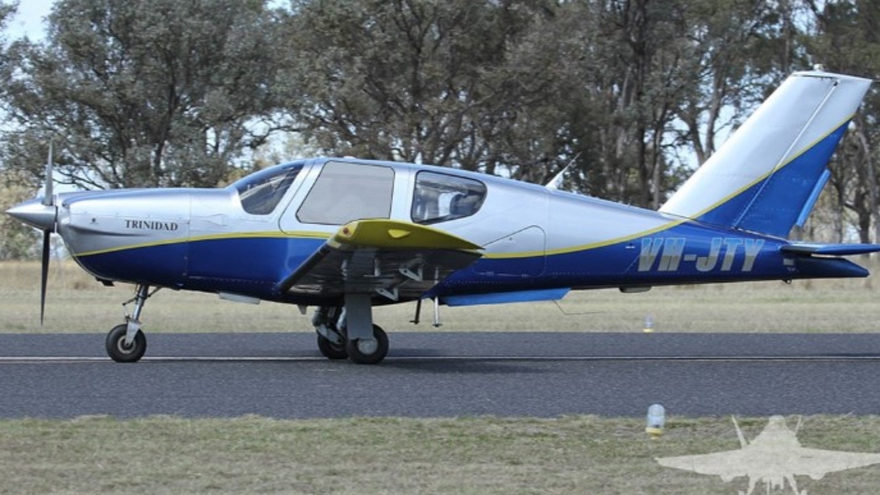
Mr Rogash, 73 and his wife, 75, were travelling from Townsville early on October 28 in their SOCATA 5B20 Trinidad plane and were expected to land at Palmyra Airstrip about 8.15am.
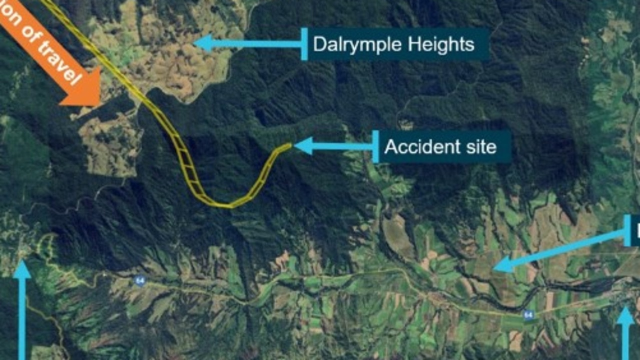
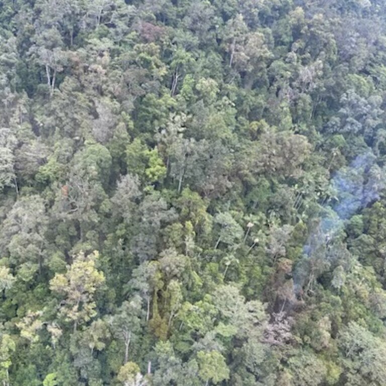
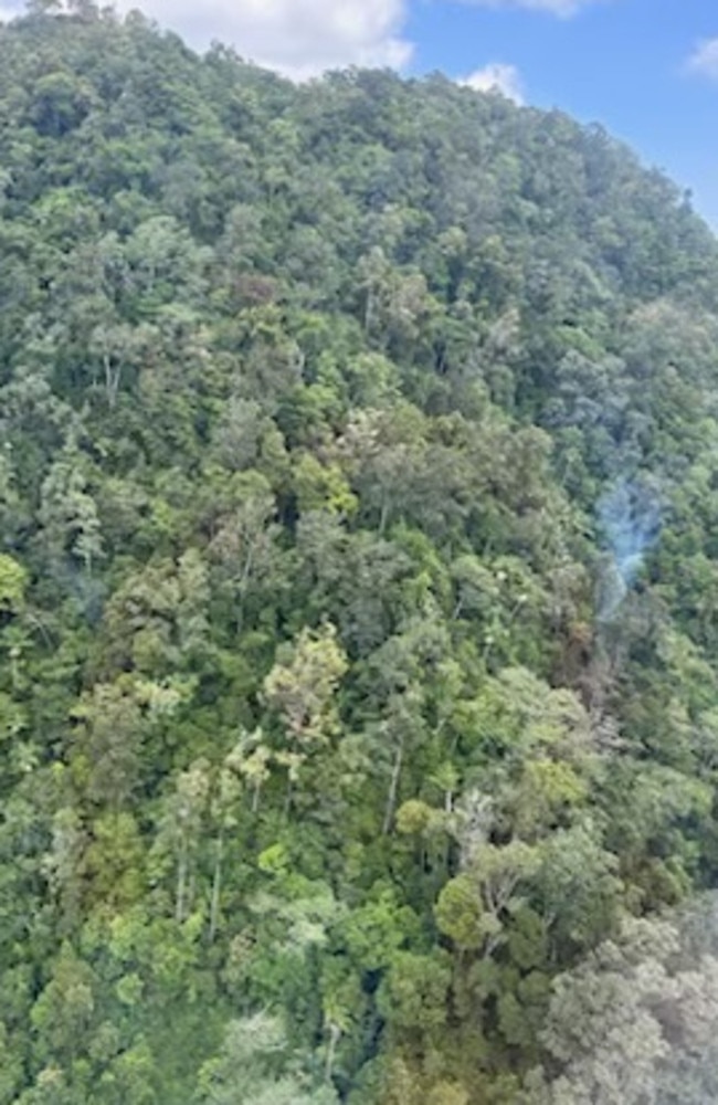
Tragically they never made it after the light aircraft crashed into a mountainside at Eungella, about 5km north of Netherdale.
An ATSB investigation found that moments before the crash Mr Rogash turned right, then left before the aircraft collided with the mountainside.
The steep and difficult terrain meant it was several weeks before the couple could be recovered from the site.
The final report noted during the flight Mr Rogash contacted a friend, also a licensed pilot, who was on the ground at Palmyra, and asked about the weather.
“After the friend advised of the prevailing conditions including cloud at Palmyra and blue sky to the south, the pilot replied that they would need to go through some cloud,” transport safety director Dr Stuart Godley said.
Recorded data from the OzRunways electronic flight bag app Mr Rogash was using showed just after commencing descent, the aircraft began a steep descending turn to the left towards mountainous terrain, exceeding the airframe’s designed maximum airspeed before pitching up and passing over the top of Bull Mountain.
The aircraft then entered a second steep descending turn, this time to the right, before the recorded flight path data ceased.

The aircraft collided with the northeast face of Bull Mountain at about 1,900ft above sea level.
“The instability of the flight path with excessive rates of descent and climb are markers of spatial disorientation where pilots are aware of a departure from controlled flight and attempt to correct the unusual attitude,” Dr Godley said.
“It is very likely the pilot had entered weather conditions not suitable for visual navigation, leading to spatial disorientation and the descent into mountainous terrain.”
A Finch Hatton community member raised the initial alarm after spotting the plane flying overhead “and suddenly a distant noise” which prompted him to call emergency services.
An RACQ CQ Rescue crew found the crash site about 11.30am that day but it was not until 3pm that a member of the Queensland Police Service search crew was able to be winched down to the area which was within dense forest.
The report found the crash site indicated the aircraft, which was destroyed in the crash, had collided with terrain at a steep angle and with significant forward velocity.
The ATSB report noted the pilot, who was not qualified for flight in instrument meteorological conditions, had regularly flown between Montpelier and Palmyra, and would, according to peers, generally fly the cruise portion of the flight on autopilot and use the autopilot if they ever had to fly through cloud.
“For a non-instrument rated pilot, even with basic attitude instrument flying proficiency, maintaining control of an aircraft in IMC by reference to the primary flight instruments alone entails a very high workload that can result in narrowing of attention and loss of situational awareness,” Dr Godley said.
“While autopilot can be used to reduce workload, it is not infallible and should not be relied upon or used by VFR pilots as a risk mitigator to decide to fly into unsuitable conditions.”
The investigation was unable to determine why the autopilot disconnected, either because of pilot action or technical failure, prior to the aircraft entering its high rate of descent.
The report also cautioned against the use of unapproved mobile devices displaying charts and data as the sole means of navigation when operating under the VFR.
The aircraft was fitted with an approved GPS for navigation. However, the pilot was not known to program flight plans into the unit, instead relying on OzRunways running on an iPad for navigation, the ATSB report found.
“Pilots should use navigation equipment approved for aviation and maintain skills in navigating by reference to approved charts,” Dr Godley noted.
More Coverage
Originally published as ATSB releases final report into Eungella double fatal plane crash


