
Emergency alert active for Jandowae after flash flooding across Lockyer Valley, South Burnett
Releases from Wivenhoe and Somerset dams have been ordered as wild weather continues to lash southern Queensland, with a flood emergency alert active for the Western Downs.
QLD News
Don't miss out on the headlines from QLD News. Followed categories will be added to My News.
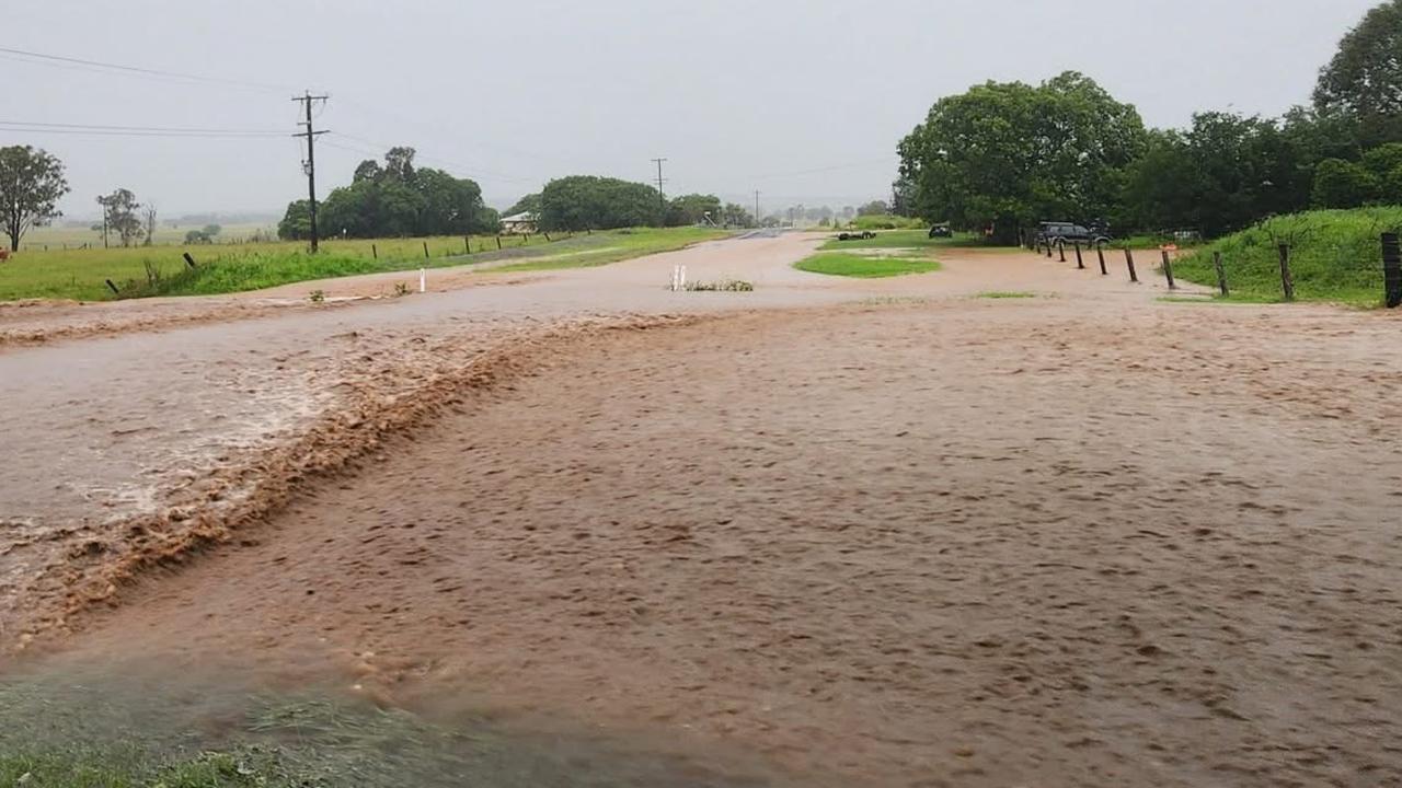
Wild weather continues to cause disruption in southern Queensland, with flash flooding cutting roads and bridges, infrastructure damaged and dam releases imminent.
An emergency alert is now active for the Western Downs town of Jandowae, after a car was pulled out of floodwaters overnight in the Lockyer Valley.
Fire crews pulled the car out of the water on Brightview Rd at Lockrose around 2am.
Two adults and a child inside the car were out of the vehicle when crews arrived and no-one was injured.
The alert for Jandowae, 130km northwest of Toowoomba, follows massive rainfall totals leading into the New Year.
Western Downs Regional Council said the Jandowae Dam spillway had exceeded the moderate flood level of 0.5m, leading to flooding across the town.
Residents were urged to prepare for those conditions.
A statement from Seqwater issued just before 11am said there would be controlled releases from Somerset and Wivenhoe dams within six hours.
It said flood engineers were closely monitoring the weather and dam conditions and had moved to “stand up” activation level.
“Wivenhoe Dam has a dedicated flood storage compartment above the water supply storage level, which is currently 0.4% of its capacity,” the statement said.
“Controlled releases of water, using the gates, that consider downstream flows are planned in the coming hours. These releases are required to manage water levels and make room for further inflows. Several ungated dams are also spilling.
“Please stay away from any fast flowing or deep water near waterways downstream of the dams.”
Persistent rainfall in the upper catchment of Somerset and Wivenhoe in the past few days has generated sufficient run-off to require releases, an Seqwater spokesman stated.
Somerset is currently at 82% capacity and Wivenhoe is at 91% capacity, according to Seqwater.
The releases at both of the dams are planned to start at 3pm on Thursday and are expected to continue for about 24 hours.
Seqwater is uncertain about the amount of water that will need to be released and the spokesman said “it all depends on current rain and inflows into the dam”.
A number of ungated dams are spilling and if they receive more rainfall are warned of increased outflows.
This includes Baroon Pocket Dam, Borumba Dam, Cedar Pocket Dam, Enoggera Dam, Ewen Maddock Dam and several others in the region.
An emergency alert issued by the South Burnett Regional Council on Wednesday evening that warned people to stay inside because of flash flooding and damaged roads was downgraded this morning.
It followed a warning from the Bureau of Meteorology that rain and hail would peak in the early evening.
Residents of the area report the Boyne River is still rising and sits above all depth signs.
Information from the Bureau of Meteorology shows multiple creeks in the region surpassed “major” flood levels, though most have fallen slightly since 12am Thursday.
The Boyne River, at Cooranga, spiked from a water level of 2 metres to almost 7 metres in the past 48 hours.
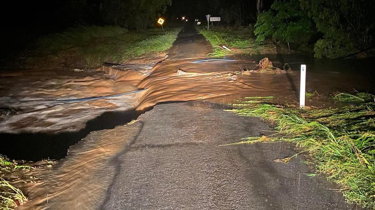
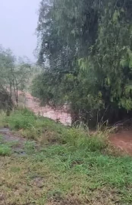
Night-time images show a section of the single-lane Mount McEuen Rd has been washed away by floodwaters.
“And that’s why people should never drive in flood water,” one person commented.
Earlier in the day, 50mm was recorded at Augathella in the hour to 3.05pm and 49mm was recorded at Injune in the hour to 1pm.
Heavy rains were also predicted for parts of the Darling Downs with storm activity around Kogan and Chinchilla.
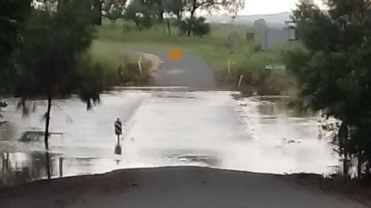
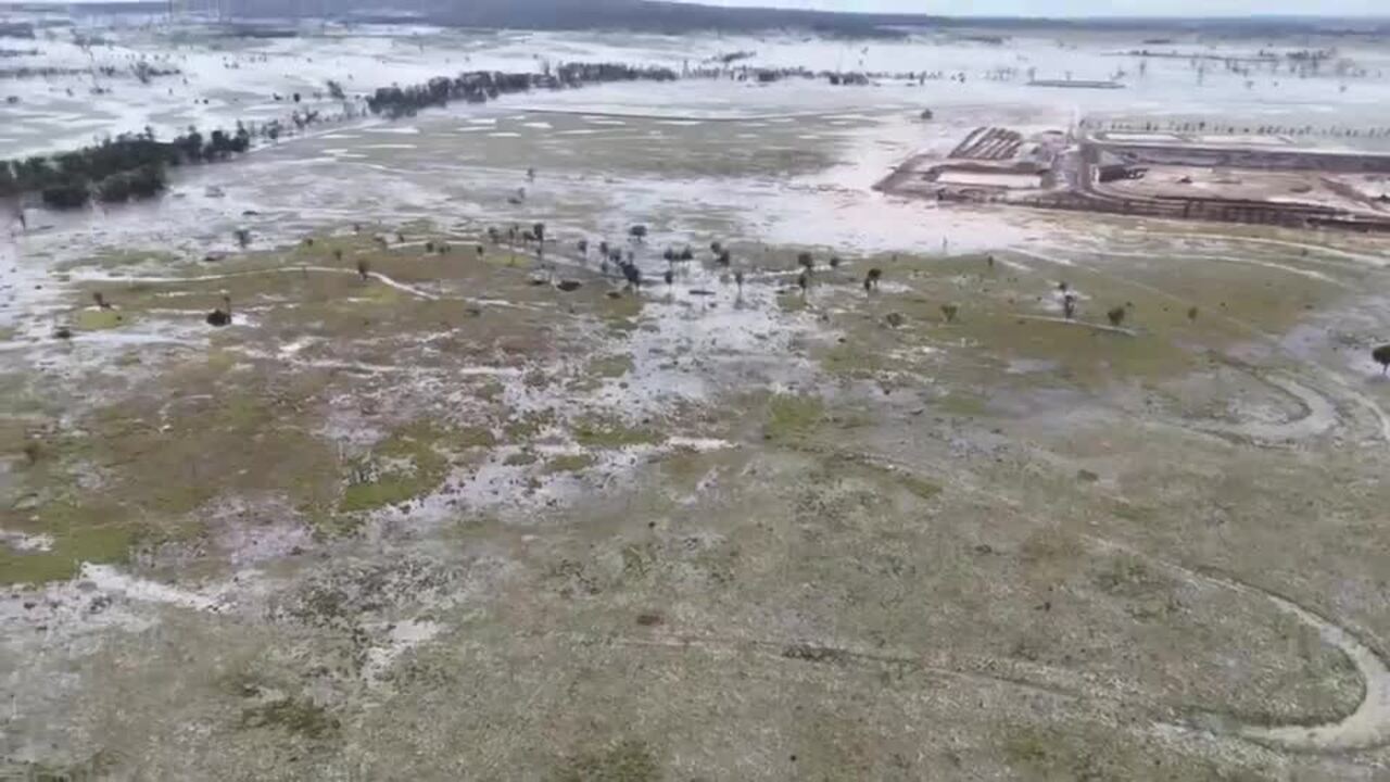
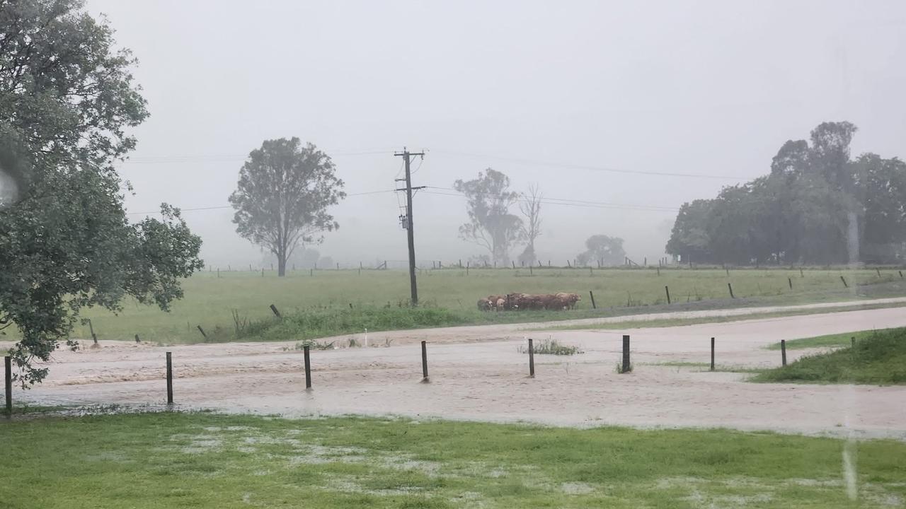
During the late afternoon on New Year’s Day pictures were shared on Facebook showing flooding on roads and paddocks in Tingoora, near Kingaroy.
It came just days after Kingaroy was inundated with heavy rains, with large parts of the town flooding.
South East Queensland has been largely spared of the severe thunderstorms, with clear skies forecast towards the weekend.
“Thursday will be a bit cooler than average, with cloudy skies and maximum temperatures around 25C-28C across South East Queensland,” Mr Hines said.
“Although there is still a chance of a shower or two the weather will really start brightening up from Saturday.
“We’ll see those clear skies and warmer temperatures around 30C continue into next week in South East Queensland,” Mr Hines said.
Originally published as Emergency alert active for Jandowae after flash flooding across Lockyer Valley, South Burnett
Join the conversation

Calls for Qld to get yet another public holiday
Premier David Crisafulli is calling on all of us to celebrate Queensland Day more, although he’s stopped short of advocating for it to become a public holiday. But would that sweeten the deal? HAVE YOUR SAY
Read more

‘We need to fix this’: Dad’s anti-bullying crusade after daughter’s tragic death
Lacie was kind, outgoing and bubbly, but relentless bullying left her thinking “she had no other option”, her father says. Now, in her honour, he is on a mission to attack it head-on in a bid to save others.
Read more
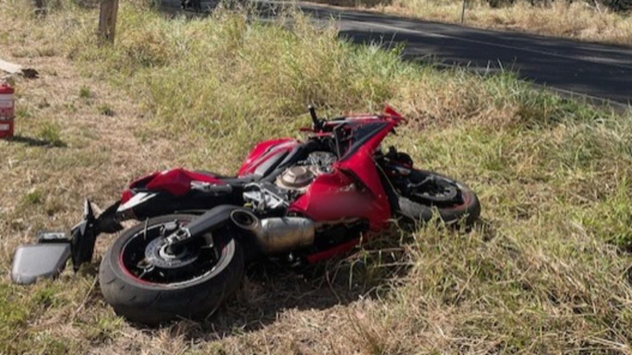
Named: Qld’s worst tourist drives for motorcyclist fatalities
Motorcyclist deaths are up to 90 per cent more frequent than other motorists on some of Queensland’s most popular tourist drives, with horrifying statistics exposing the worst places for fatal and serious injury crash rates.
Read more
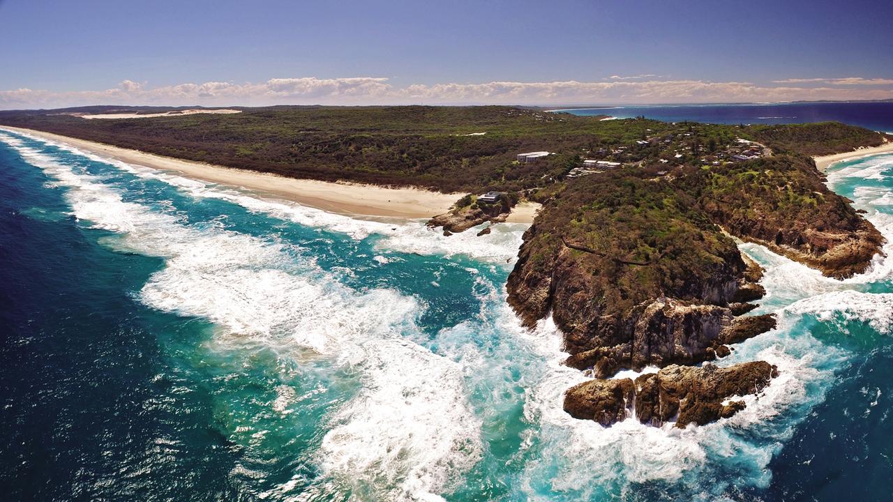
Financial ‘discrepancies’ found at Straddie Indigenous corporation
North Stradbroke Island’s powerful Indigenous corporation has been issued a warning after a financial audit uncovered a series of accounting discrepancies and incomplete records of monies it got in state government grants.
Read more
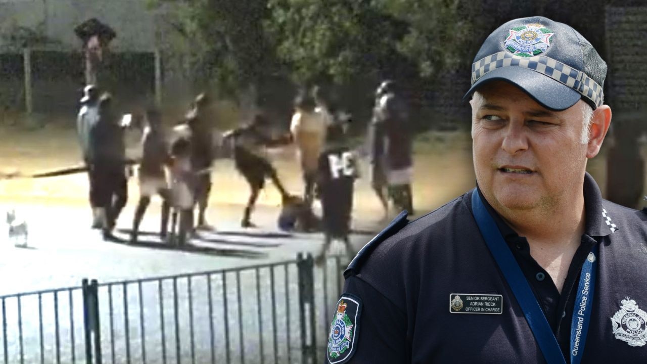
Qld city suffering amid violent ‘flare ups’, as crime totals surge
Police say family feuds are fuelling a “flare up” of violent street brawls in Mount Isa, as new data also reveals the number of offences committed in the city has almost doubled in the past decade.
Read more
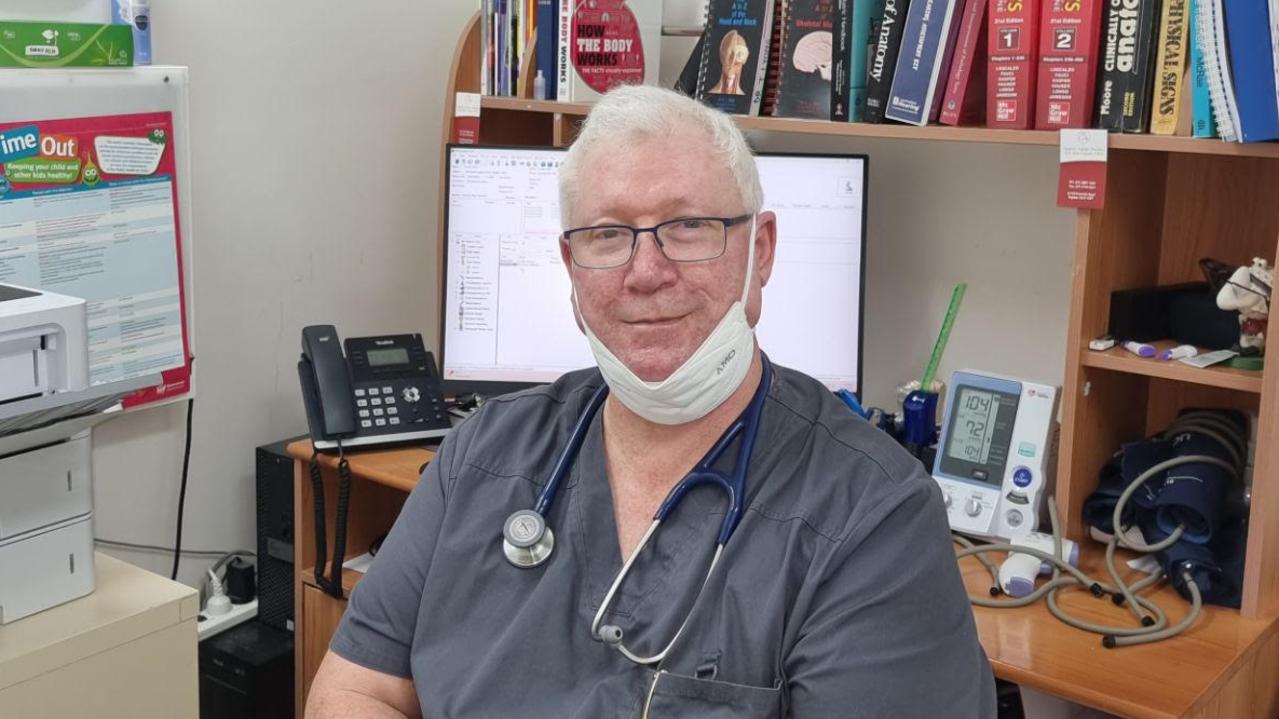
Bulk-billing clinics accused of breaching Medicare rules
An SEQ doctor has accused medical imaging bulk-billing clinics of breaching Medicare rules by billing for scans without emailing reports to referring doctors, risking patient safety.
Read more