When and where will the next Inskip sinkhole occur?
As 4000 campers prepare to descend on Inskip Pt - a camping mecca - the ‘sinkholes’ that are part of life there have at times swallowed whole caravans. So where and when will the next one likely occur?
Gympie
Don't miss out on the headlines from Gympie. Followed categories will be added to My News.
Inskip Point is an idyllic tourist destination that plays host to many thousands of campers and visitors every year.
It is also a place where the ground moves under your feet – literally.
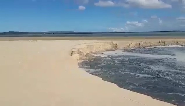
The camping mecca and its shifting coastline has been the site of numerous near-shore landslips, commonly referred to as sinkholes, across the years, natural events in which the sand slides into the ocean, taking everything nearby with it.
In September 2015 about 300 campers had to be evacuated when a 200m-wide hole opened up and swallowed a caravan, 4WD, trailer, tents, and trees up to 8m in height.
Campers Patricia and Don Downing were sleeping only 100m from that sinkhole when it opened up about 10.30pm.
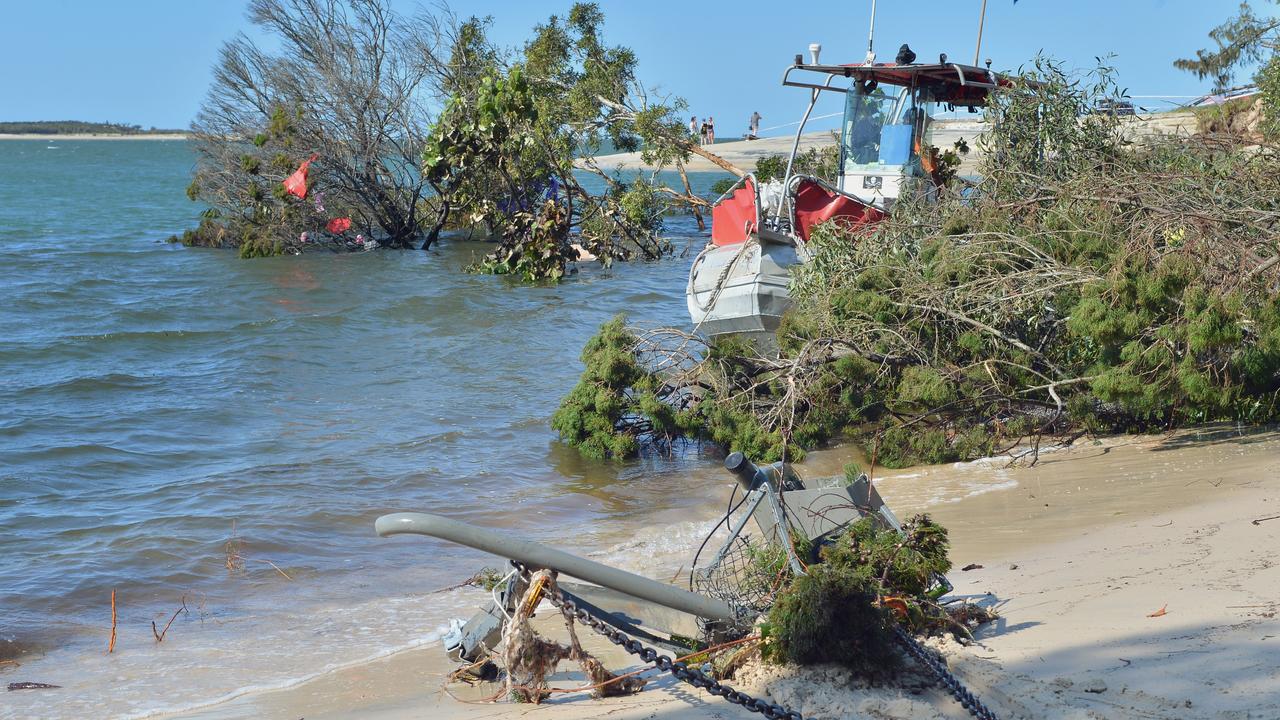
Other guests reported hearing a loud “roar” as the hole opened.
In September 2018, another sinkhole opened at the peninsula not far from where two others had been reported.
One witness said this hole was wider than the 2015 event.
In April 2021, a sinkhole swallowed up the beach where cars and vehicles had been loading onto the Fraser Island barge only hours earlier, and the most recent occurred in June 2023.
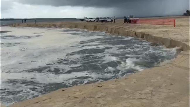
A Department of Environment and Sciences spokesman said these sinkholes were “near-shore landslips or landslides”.
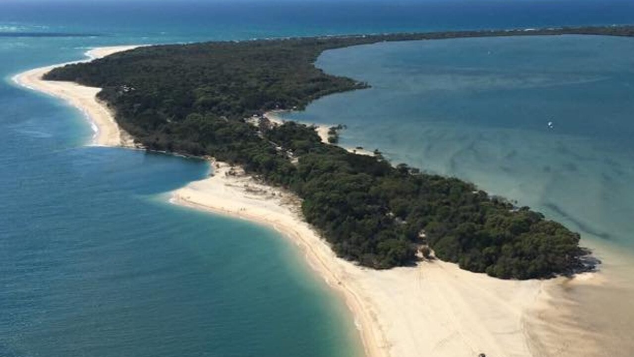
“Inskip Point is itself a sandy finger of land that has been built up by wind and waves,” the spokesman said.
“The peninsula is susceptible to these natural occurrences, where a large body of sand moves quickly, forming an underwater scarp (or small cliff) that moves rapidly inshore as the sand debris moves out to sea.”
Waves, winds, and currents heavily impact Inskip’s coastlines, and it was “ not possible to predict when a landslip may happen”.
There was also “no evidence” tourists were causing them to occur.
To ensure the safety of visitors, a buffer zone exists between the campgrounds and the foreshore, reducing any impact on the
vegetation which helps stabilise the area.
Geological reviews of the peninsula undertaken following the September 2015 event reveal records of sinkholes at Inskip dating back to at least January 1873.
Newspaper coverage at the time said the hole opened up in the evening.
Sinkholes were also recorded in 1901, 1938, 1993, 2006, 2010, 2011, 2012, 2013 and 2015.
It says the 2015 event “gradually increased in size over a period of several hours, eventually forming an arc shaped scarp over 200m wide”.
The depth of the hole 18 hours after the slip started was suggested to be “5m or more quite close to the edge of the beach”.
More than 24 hours later that depth was “a maximum of 9m”.
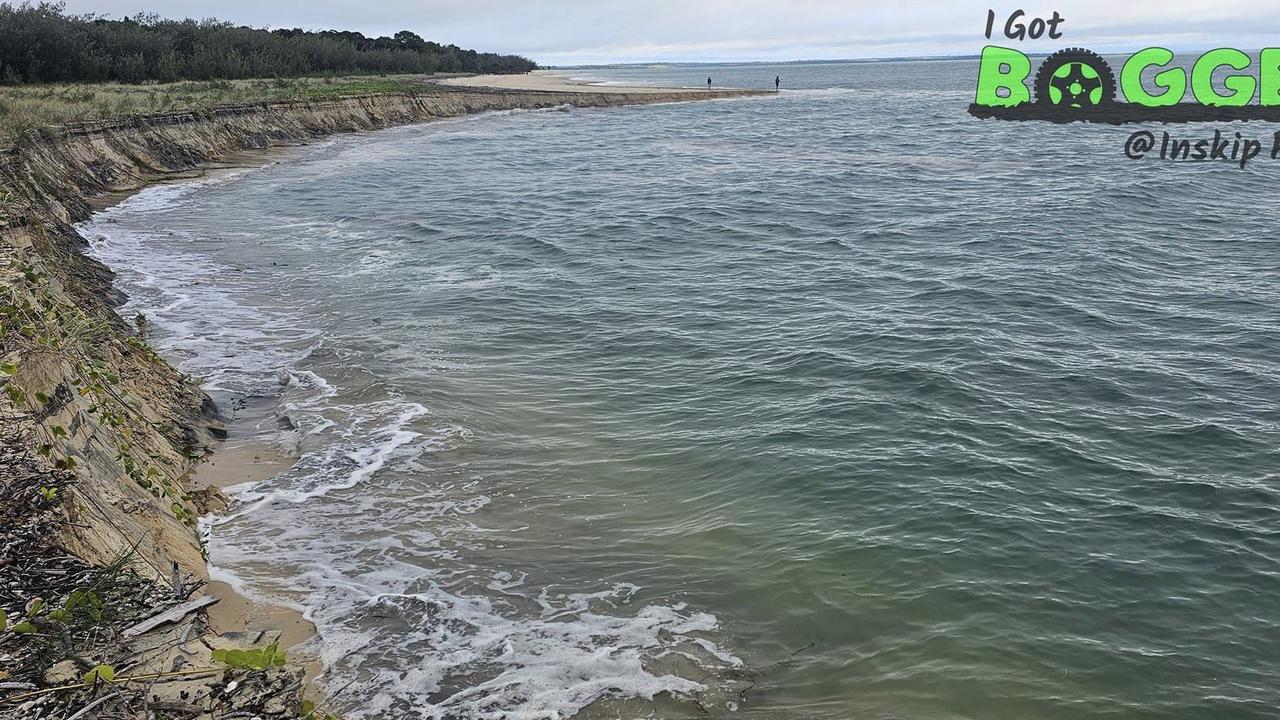
“Rapid turbulent tidal flows” were found as the probable causes of the slip, having eroded an off shore slope.
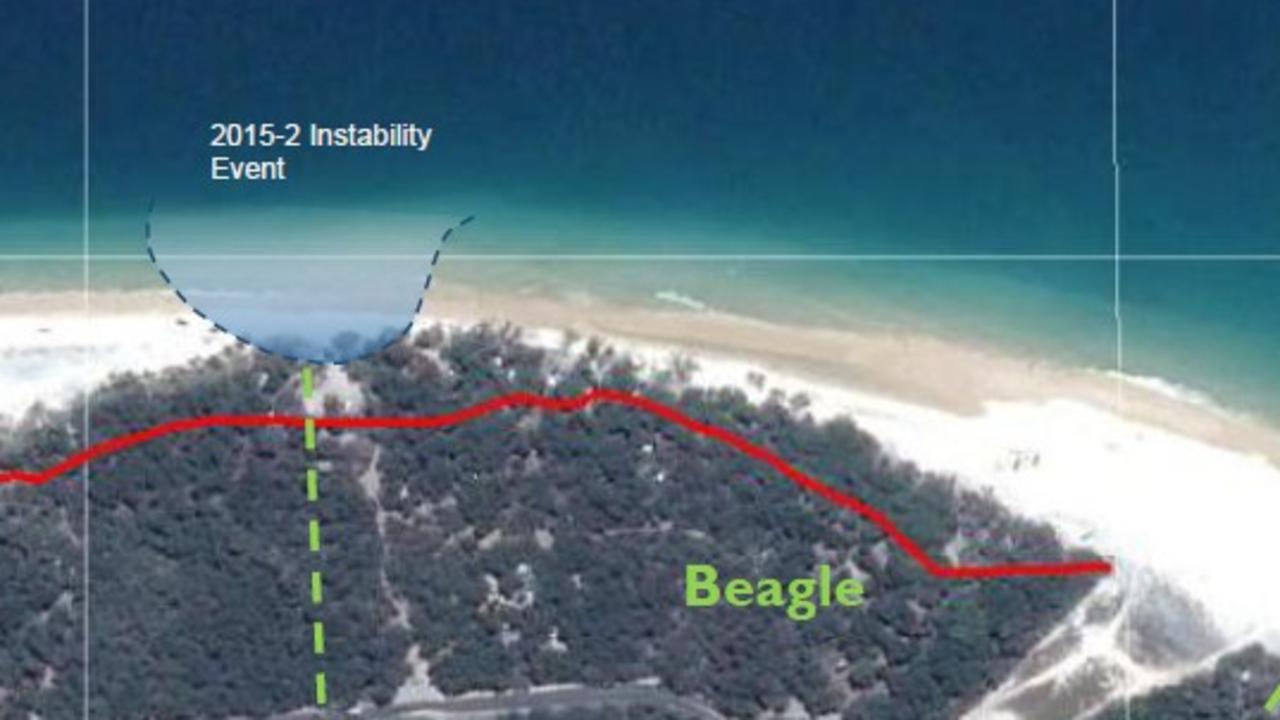
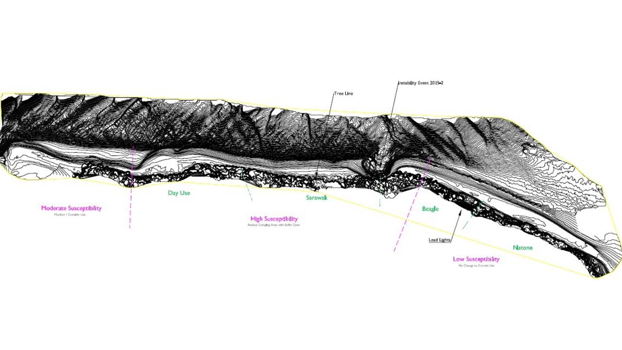
Maps included in the report label the area of west of Beagle, across Sarawak and to the day use area as “high susceptibility” to the slips.
The section between the day use area and the tip of the peninsula was “moderate susceptibility”, and east of Beagle was “low”.
Earthquakes were ruled out as causes, as the closest time between seismic activity to any of the events recorded in the report was 10 days.
This left the most likely cause as “the rapid tidal flows and resulting eddies which are observed regularly off the peninsula”.
Room remained for “other factors” being involved, and more research was needed, the report said.
More Coverage
Originally published as When and where will the next Inskip sinkhole occur?


