
Fraser Coast flood maps to be recalculated
Fraser Coast homes and businesses could be in for a rise in value or a reduction in insurance costs once local flood maps are updated to better reflect what actually goes under water. See what is planned


Fraser Coast
Don't miss out on the headlines from Fraser Coast. Followed categories will be added to My News.
Multiple properties on the Fraser Coast could be in for a boost in value or a drop in insurance costs as the Fraser Coast Regional Council looks into remodelling the region’s flood maps.
At a council meeting on Wednesday, Deputy Mayor Paul Truscott asked that council investigate its existing flood modelling, as he believed it inaccurately predicted certain houses going underwater during floods.
He moved that the council be provided with a report on how the current flood level modelling maps could be improved, to more accurately reflect the observed flood levels during flood events.
Originally, the motion only specified Maryborough, but Mr Truscott amended the motion to include the entire region.
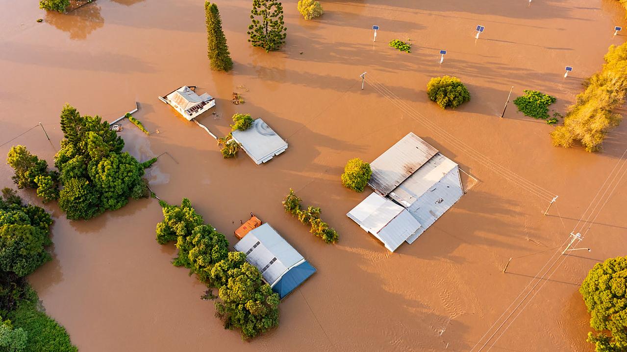
During the meeting, Mr Truscott tabled a flood map of the northern side of Maryborough, which showed suburbs like around Bell Hilltop and the airport inundated with water during floods which he said was “not the case”.
“This is affecting people’s insurance premiums,” he said.
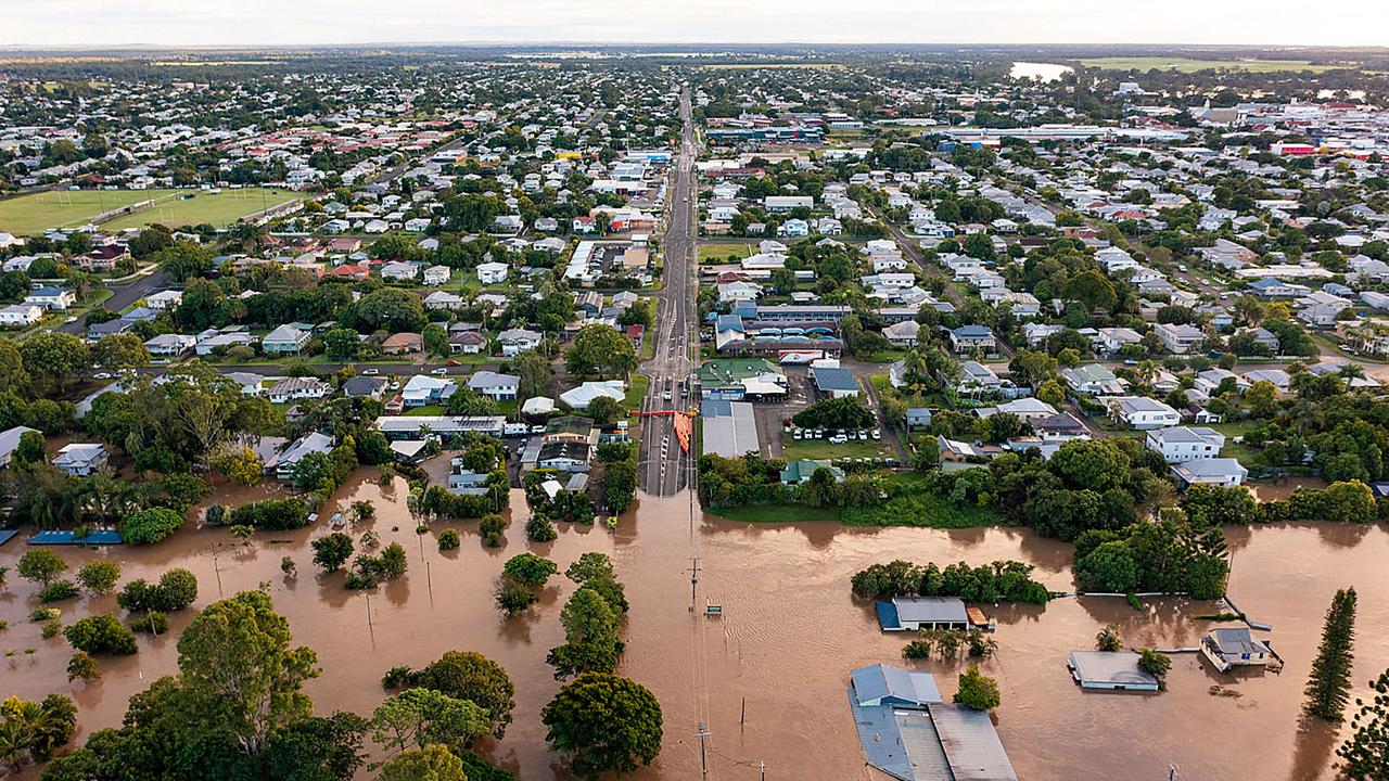
Mr Truscott said he has spoken to numerous real estate agents and residents who told him they had “lost property sales” due to the flood prediction maps.
He said the current flood maps could be “quite confusing” for people.
“We really need to ensure that this system is clarified,” Mr Truscott said.
Councillor Denis Chapman agreed with Mr Truscott that the flood maps should be “brought up to date”.
“It makes it a lot easier when people are selling properties,” Mr Chapman said.
It comes as house insurance premiums increased for many homeowners across the region, particularly for Maryborough resident Emma-Lee Lawson.
The mother-of-two said she “felt sick” after seeing the staggering increase in her home insurance notice with Allianz, which skyrocketed from $1966 a year to $16,418 a year.
After speaking with Allianz Insurance about the increase, Ms Lawson said it was suggested to remove flood cover to reduce the cost - something she wanted to keep.
Ms Lawson has never made a claim on her home insurance, and the 2022 floods did not reach her home.
Queensland in general is preparing for a wet six months, with La Nina predicted to bring above average rainfall and flooding.
Speaking to reporters after the meeting, Mr Truscott said people relied on the maps to buy houses and check if their property might get inundated with water during floods.
“I’ve seen a few examples where the map is just wrong...” he said.
“For those of us who have been in the area for decades, know that certain areas just don’t flood.”
Mr Truscott said it was important that council revisited the maps and how they could be fixed.
“There’s a lot of talk there could be a lot of weather coming, and with that in mind, we need to know where is it going to flood, and where can you expect to be dry,” he said.
Mr Truscott’s motion was supported unanimously by councillors.
More Coverage


Originally published as Fraser Coast flood maps to be recalculated
Judge’s warning about releasing Childers backpacker mass killer
Parole authorities were warned to give “careful consideration” before ever releasing Childers backpacker mass killer, Robert Paul Long, when he was sentenced.

$700k in unpaid debts at heart of liquidation battle
A Hervey Bay businessman and woman are at the centre of a storm of allegations in the wake of two company collapses, a bankruptcy declaration and claims of business debts close to $800,000.
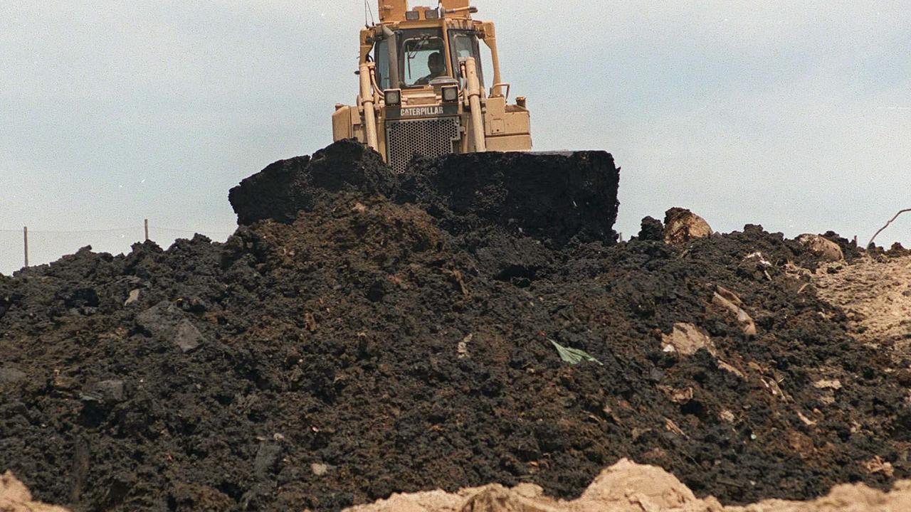
State waste tax to hit Fraser Coast, Bundaberg ratepayers
A state government tax on waste is expected to start hitting the hip pockets of ratepayers as councils are forced to bear more of the financial load. DETAILS
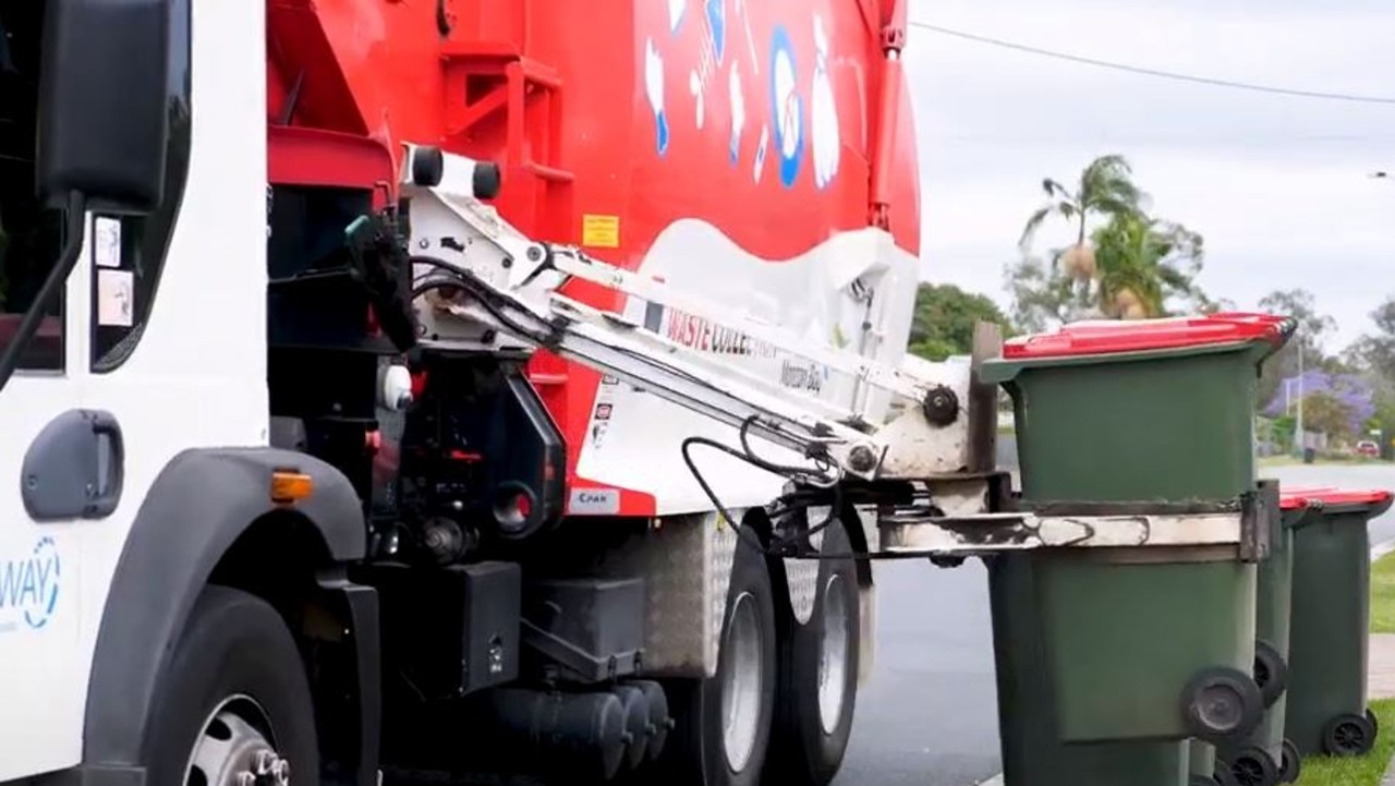
Minister responds to mayors’ waste levy concerns
As several mayors warn ratepayers will bear the brunt of a state government waste tax, the minister responsible has said he wants to help by investing in infrastructure.
‘Bloody rabble’: Readers have say on historic post-election LNP split
Fallout from the historic LNP coalition split in the wake of the parties’ epic federal election failure has divided readers, leaving them split on whether it is a boon or a ‘political desert’. VOTE IN THE POLL
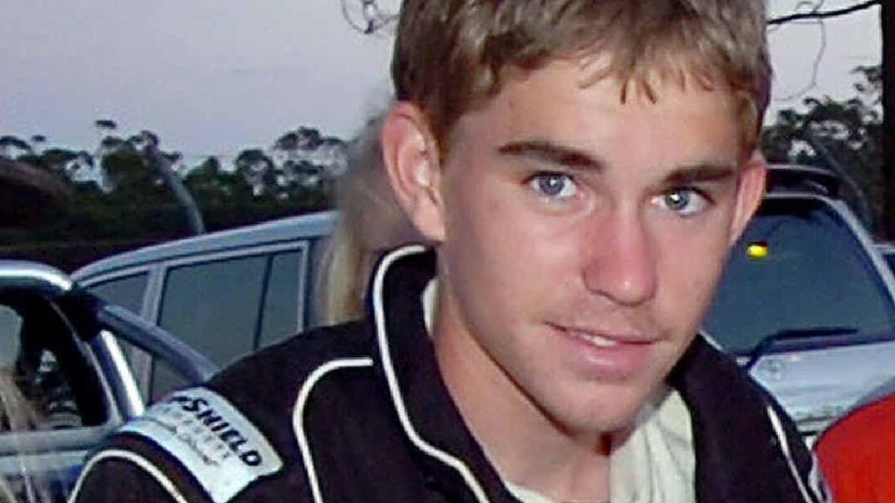
‘Final lap’: End to speedway event held to honour teen after tragic death
An annual speedway event held in memory of a teen whose life was tragically cut short will go ahead for the final time this weekend.