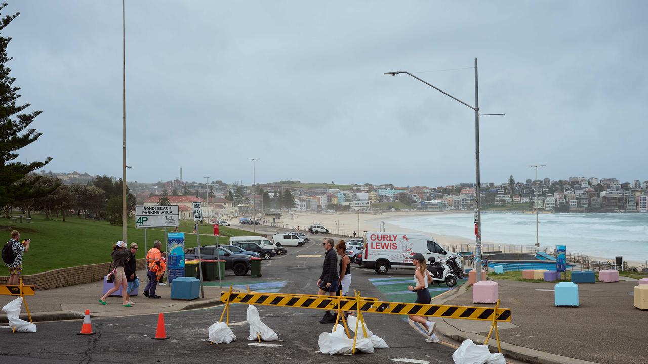
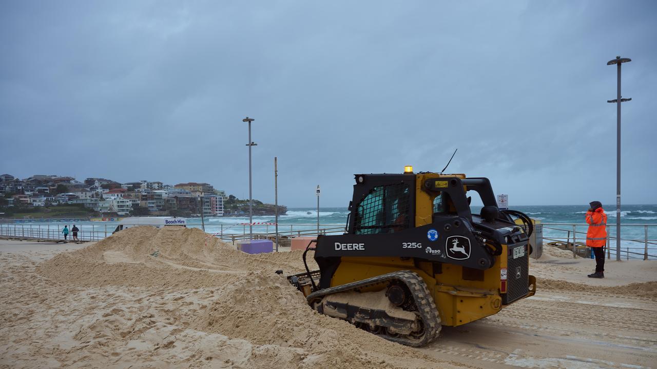
Iconic Bondi Beach unrecognisable after strong winds and heavy rain hammer city
Sydney has been hammered by days of grim weather, with one of the most iconic beaches in the world unrecognisable.

Weather
Don't miss out on the headlines from Weather. Followed categories will be added to My News.
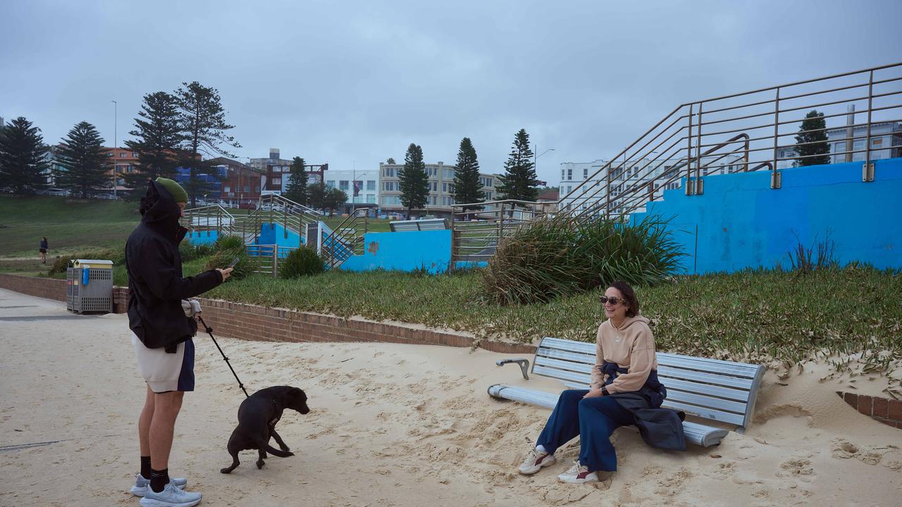
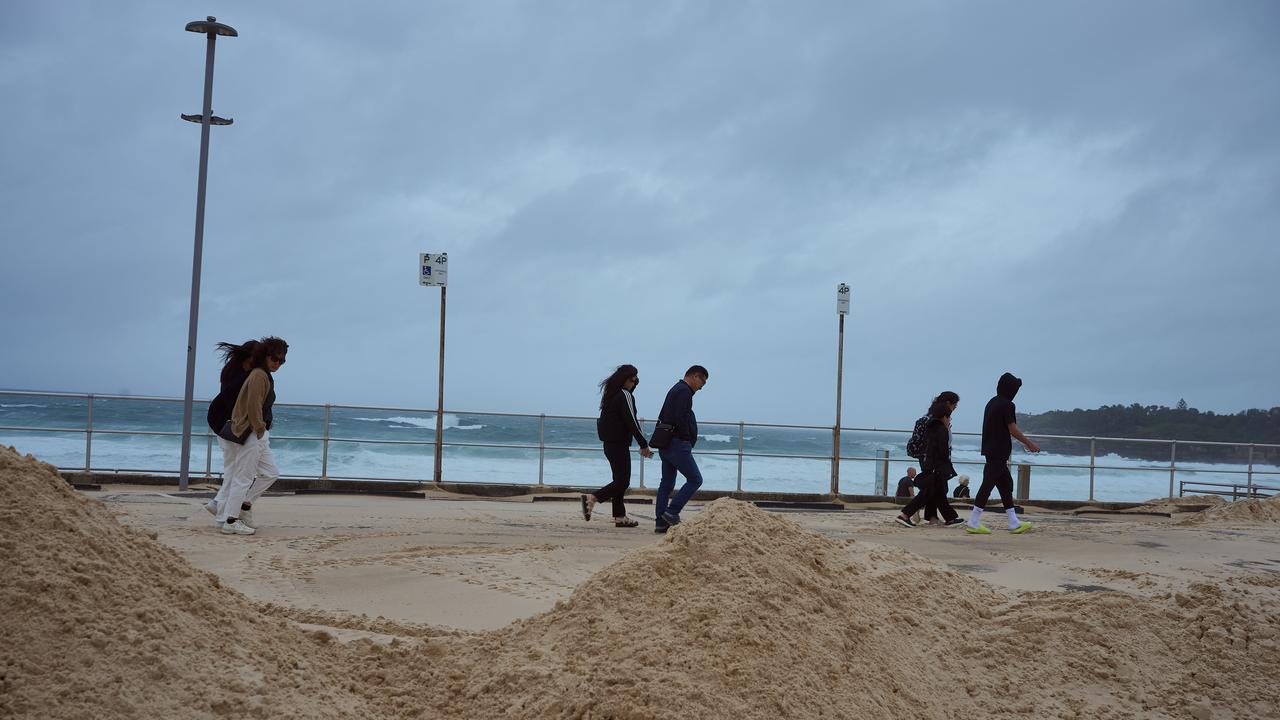
Sydney’s iconic Bondi Beach has been left in a state of ruin following the intense storms that swept through much of New South Wales over the last three days.
Councils, SES and locals have been left to pick up the pieces at the tourist hotspot on Saturday after heavy rain and wild winds hit the coastline.
The widespread damage comes after huge swells hit the east coast including Manly, Coogee and Bondi, with waves recorded up to 4.9 metres high. The cities ferry services were cancelled due to unsafe conditions.
Even with the widespread damage, Sydney’s coast is likely to be hammered by days of grim weather with storms knocking down trees and sparking widespread flood warnings.
The city is expected to endure downpours and south-easterly winds over the next two days.
Ausgrid said the severe winds saw 68,000 customers lose power on Friday night, with 28,000 still without electricity across the city this morning.
Residents at the Ferndale Caravan Park north of Newcastle were told to evacuate on Saturday morning as the Williams River continued to flood because of increased flows into the Chichester Dam.
Residents downstream of Chichester Dam have been advised to prepare to evacuate, while emergency services have issued a watch and act in place at Buladelah.
Wind and rain warnings were still in place for large stretches of the NSW coast, and extend inland in the mid-north to the Barrington Tops.

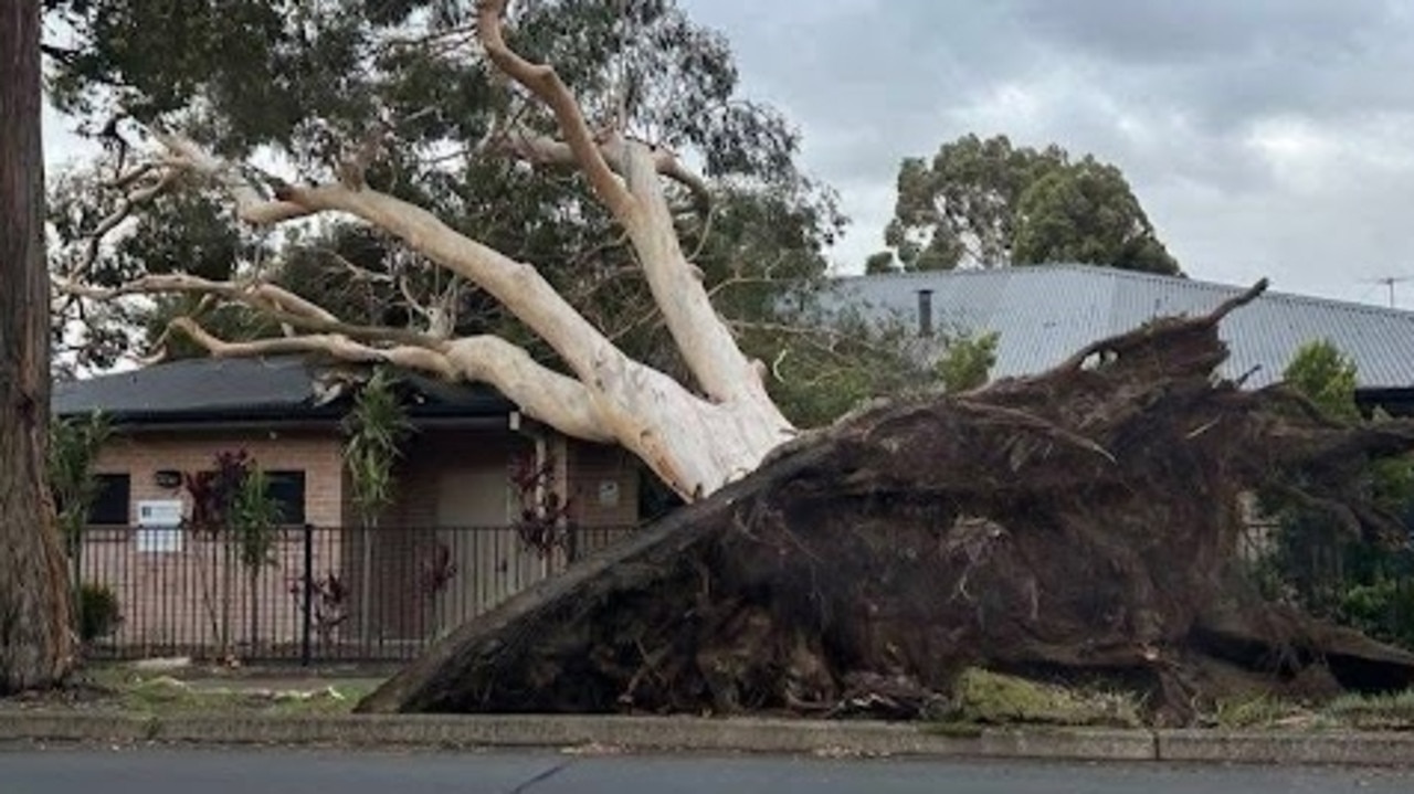
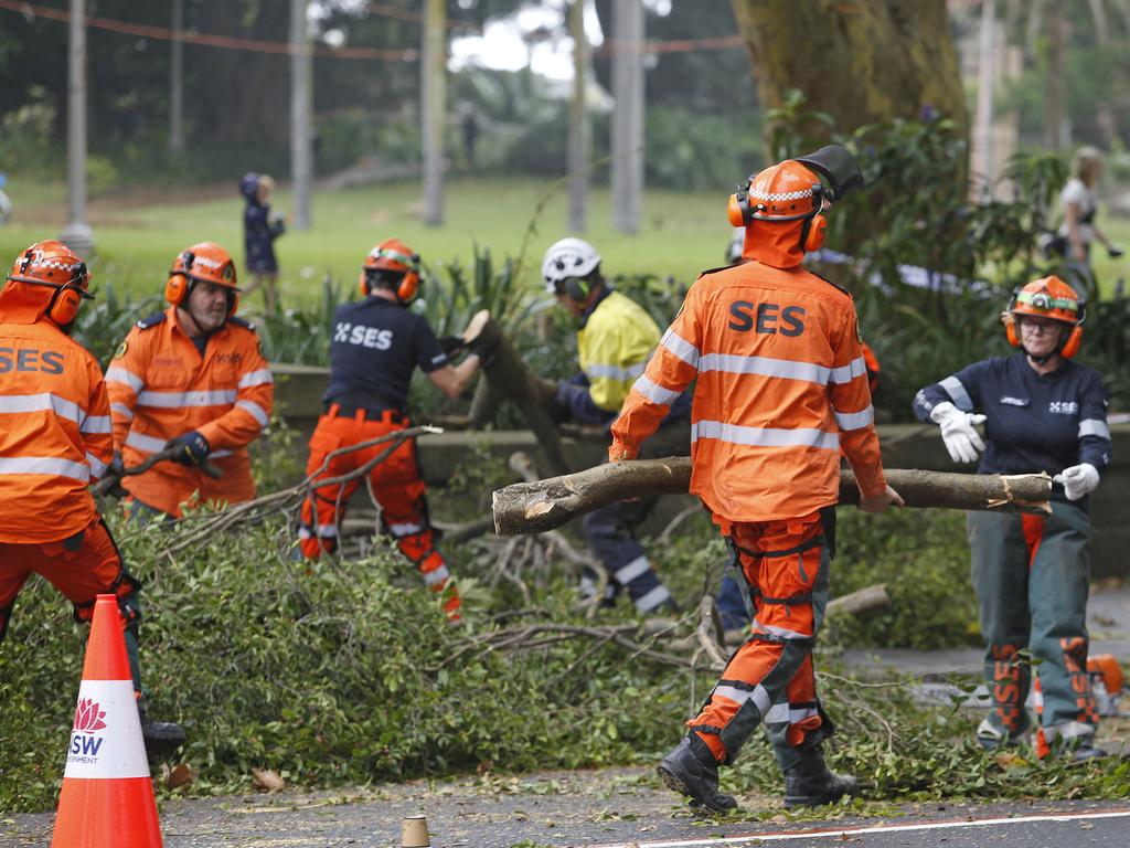
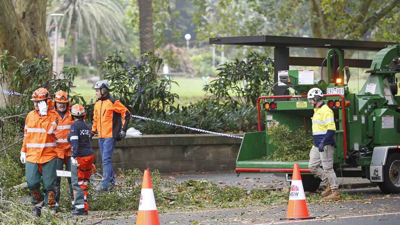
NSW SES said they responded to 6598 incidents, most of which were for fallen trees, damaged property and downed powerlines as well as rescuing two people trapped in the flood.
“Metro zone was kept extremely busy with a high volume of incidents all day. The majority of incidents were for fallen trees and damaged properties due to strong winds,” the SES said in a statement.
There were isolated incidents of dramatic damage across Sydney on Friday, with two people being trapped under a large tree in Hyde Park in Sydney’s CBD, and a corrugated roof blowing off and landing on cars in Drummoyne during peak hour on Friday afternoon.
However, the Bureau of Meteorology forecasts the low pressure system causing the issues will move away from the mainland Saturday.
The bureau has 14 different warnings in place for NSW on Saturday morning; severe weather warnings, flood warnings which are mostly minor, and hazardous surf conditions.
Bureau of Meteorology senior meteorologist Dean Narramore told the ABC the wind and rain warnings were still in place for Coffs Harbour down to and including Sydney.
Coffs Harbour to Newcastle has copped the brunt of heavy rainfall and damaging winds during the past few days.
“We’ve seen widespread 50 to 150mm (of rain) there, with isolated falls up to 250mm around the Barrington Tops,” he said.
Newcastle to Sydney and down to Wollongong is forecast to bear the brunt of mostly just wind threats, not rain.
“That’s thanks to a low pressure system just off the coast of the mid-north coast that’s driving these really wet and windy conditions,” he said.
“It looks like we’re going to see that low start to slow a little bit away from the NSW coast today, and then finally moving away tonight into Sunday.”
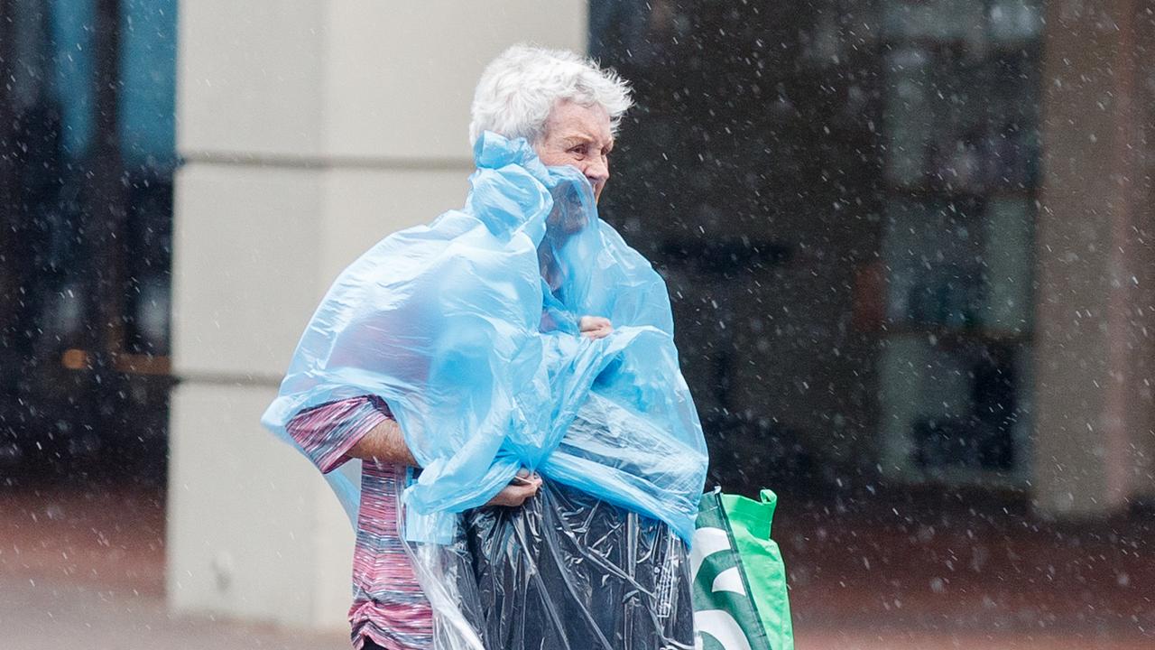
“But it still means a wet and windy morning for us through Saturday, and then start to see conditions ease Saturday afternoon and hopefully mostly gone by tomorrow, just some gusty winds and showers.”
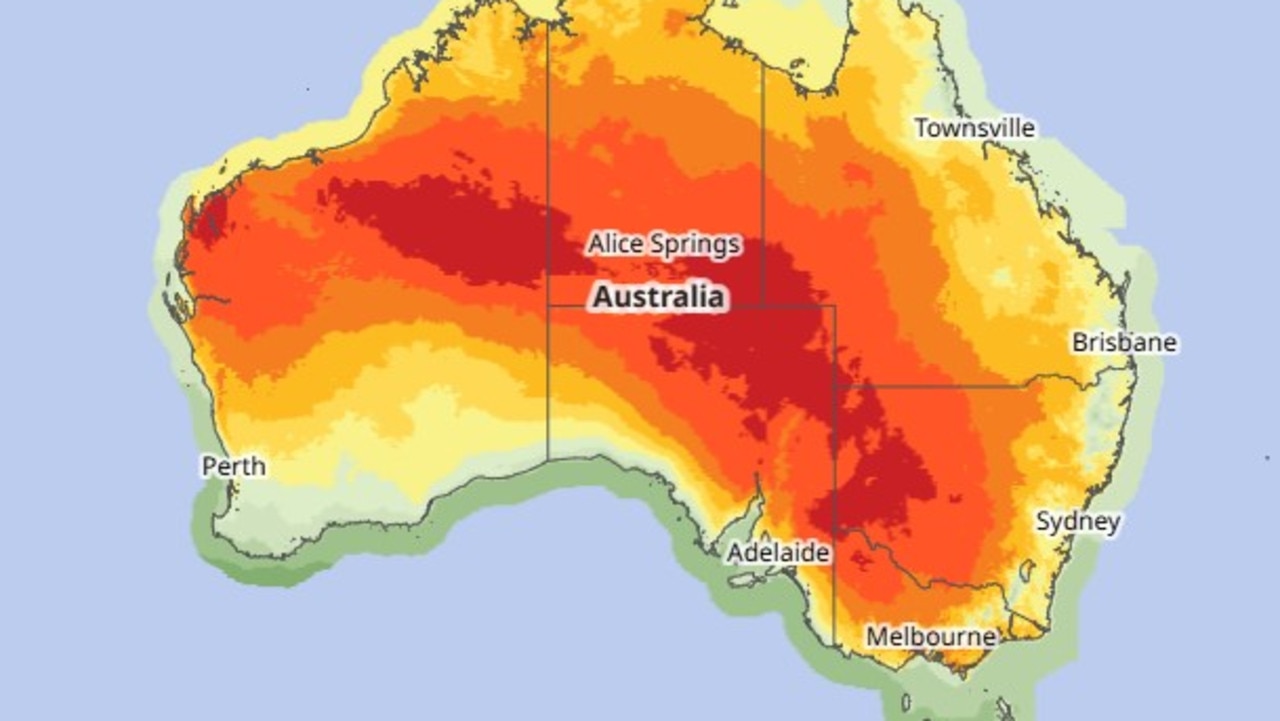
Elsewhere, Queensland, WA and SA will cop heatwaves ranging from low to severe intensity.
Temperatures from Mackay to Townsville will reach the high 30s on Saturday.
The scorching arid “heat pool” of inland SA and WA is set to swelter.
“That’s driving temperatures in the low-to-mid 40s and it could get even hotter in parts of WA as we move into next week,” Mr Narramore said.
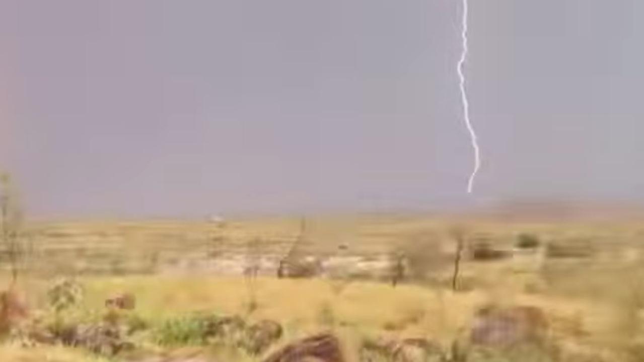
In the north of WA, Pilbara residents are bracing for a tropical low to bring storms.
“Thankfully at this stage, continuing to track west-south-west parallel to the coast offshore. “But, still likely to bring strong winds, gale force winds about coastal parts and some pretty heavy showers and thunderstorms as well.”
The low is out at sea west of Broome, but it is picking up steam.
“We do have cyclone warnings current from De Grey to Dampier and that does include Port Headland to the Karratha area, and cyclone watches from Karratha down to Exmouth.”
The system could become a cyclone late on Sunday.
Originally published as Iconic Bondi Beach unrecognisable after strong winds and heavy rain hammer city

