
Rain is here to stay as Kirrily douses the Gulf
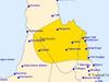
A wet weather weekend is in store for most of the Far North as Gulf Country residents patiently wait for ex-cyclone Kirrily to exit the state.

Cairns
Don't miss out on the headlines from Cairns. Followed categories will be added to My News.
A wet weather weekend is in store for most of the Far North as Gulf Country residents patiently wait for ex-cyclone Kirrily to leave the state.
The Bureau of Meteorology have forecast wet weather across the entirety of Far North Queensland this weekend ranging from widespread heavy rain in the western Gulf Country and scattered showers for the North Tropical Coast, Peninsula and Tablelands region.
BOM senior meteorologist Dean Narramore said ex-cyclone Kirrily would stay in place on Friday, bringing severe weather to the Gulf, moving south towards the southern border from Saturday.
“Ex-cyclone Kirrily will continue to bring widespread heavy rain, strong gusts and even damaging winds to Gulf Country on Friday,” Mr Narramore said.
“It will then start moving south during the weekend towards Mount Isa and northwest Queensland on Saturday, finally clearing out of Queensland and into New South Wales into next week,” he said.
A floodwatch for parts of the Gulf of Carpentaria was announced on Friday morning with 332mm of rain recorded in the 24 hours to 9am on Thursday near Nicholson on the western border while 150mm was recorded in the same time period on Mornington Island.
“Renewed flooding in far western and north western Queensland is expected into the weekend,” Mr Narramore said.
“50mm to 150mm showers are expected with isolated falls in excess of 200mm possible,” he added.
A major flood warning for the Flinders Rivers and a minor flood warning for the Cloncurry River were also issued on Friday morning.
The meteorologist said it was unlikely the cyclone would reform.
“The cyclone window is probably closing but it’s still a tropical low so will bring a lot of rain and wind,” he said.
While the rest of the Far North may escape the tropical low, rainfall and thunderstorm activity is likely across the region.
“We’re not looking at wide spread heavy and persistent rainfall,” Mr Narramore said.
“It’s more likely we’ll see hit and miss showers continue, with some isolated falls.
“And it is probably going to continue into next week as well.”
A low intensity heatwave is also forecast for the North Tropical Coast and Tablelands region over the weekend, bringing little reprieve from the recent heat with temperatures in the mid 30s across majority of the coast and Peninsula.
“It will likely be hot and humid days with afternoon and overnight showers,” Mr Narramore said.
More Coverage

Originally published as Rain is here to stay as Kirrily douses the Gulf

Hwy reopened, three hospitalised following multi-vehicle crash
The Kennedy Highway has been reopened to traffic following multi-vehicle crash, which left three people hospitalised, on Thursday afternoon.
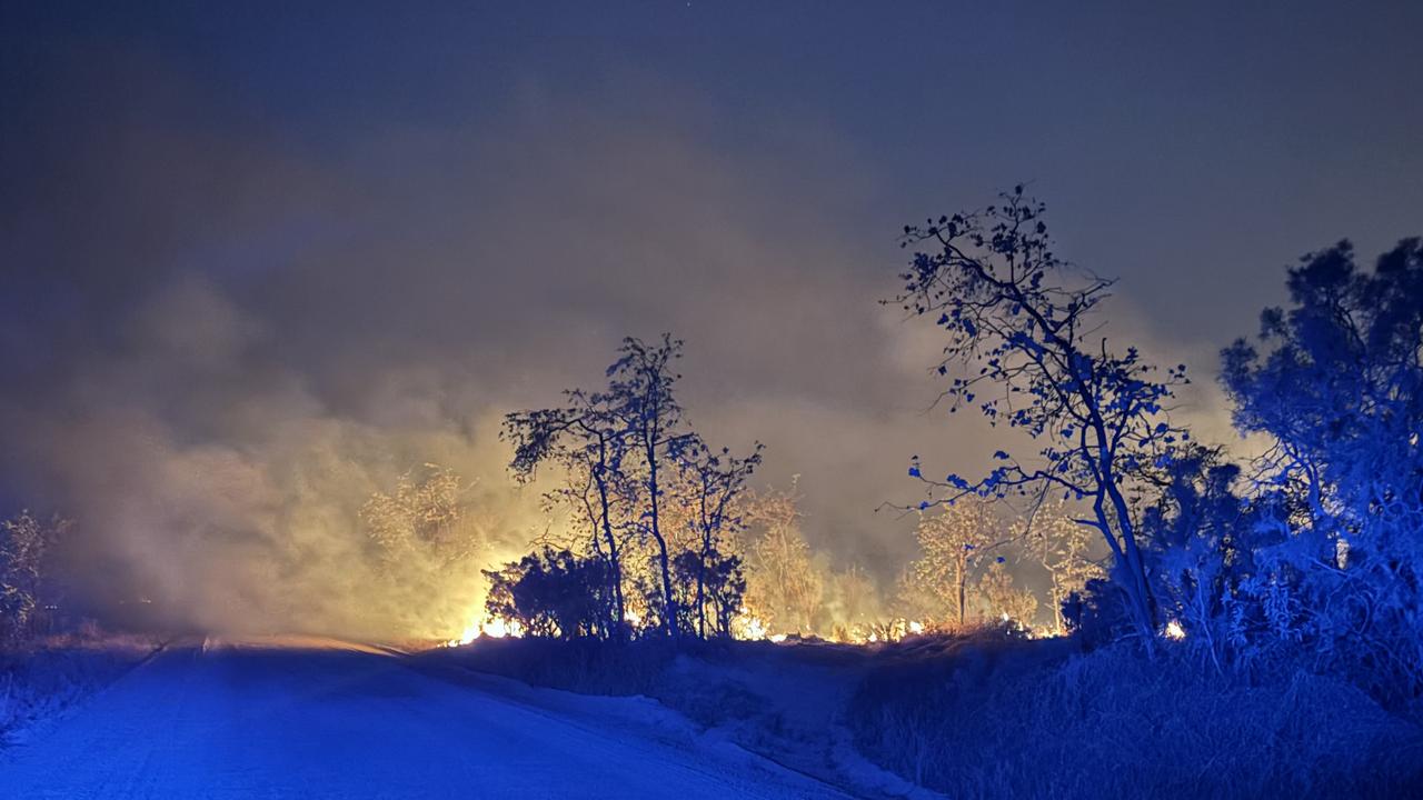
‘Hectic wildfire season’: Deliberately lit bushfires
A Far North Queensland-based firefighter has warned many homes are not prepared for fire-season as crews contain fires claimed to be deliberately lit.

FNQ’s collection of on-road oddities and troppo transport options
From a kid towing a boat behind an e-scooter to a go-kart on the main drag of a Tablelands town, the Far North has no shortage of on-road oddities when you just have to get there. See the hilarious list.

YOUR SAY: Qld’s election promises unpacked
Queenslanders have been promised a lot in recent months ahead of October’s state election – but what can we trust and what is simply a vote-grab? HAVE YOUR SAY

Police seize rifles and handguns in firearm blitz
A police crackdown on illegal firearms including raids on properties throughout Far North Queensland has resulted in the seizure of 18 unlicensed or unregistered weapons. Watch the video.

Masked gang’s violent home invasion in southern Cairns
Police are seeking witnesses after a masked gang broke into a home in Bentley Park, targeting residents and damaging property. Find out more here.