German tourists rescued near Coen after being directed to go bush by Google Maps
Two tourists have survived a harrowing ordeal by drinking from puddles and walking 60km to be rescued after being directed by Google Maps to go bush during a wet season Cape York road trip.
Cairns
Don't miss out on the headlines from Cairns. Followed categories will be added to My News.
Two German tourists have walked 60km to be rescued in a week-long ordeal after following directions from Google Maps during an ill-advised wet season Cape York road trip.
The men left Cairns on February 4 headed for Bamaga.
Google Maps took the travellers into Oyala Thumotang National Park via an old dirt track known as Langi Track that leads off Rokeby Rd, 25km north of Coen.
The detour was believed to be an alternative route north due to water being over the causeway at the Archer River.

The route directed the pair around the Archer River to rejoin the Peninsula Developmental Road north west of Piccaninny Plains.
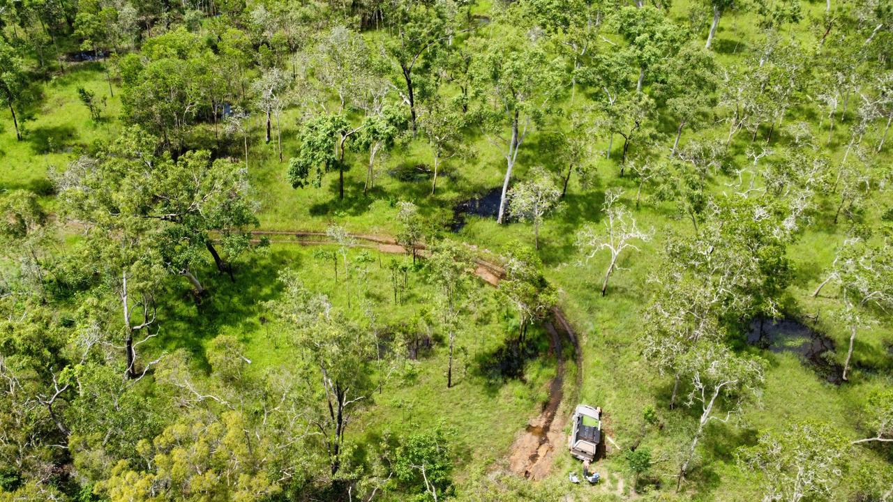
However, more than 250mm of rain falling around Coen in January meant on February 6, the pair’s four-wheel drive got bogged.
Due to their remote location there was no mobile service or internet connection.
The mistake meant a week long ordeal and a 60km walk back to civilisation during which the pair survived on pasta with tomato paste and drank from creeks and puddles using a towel as a makeshift filter.
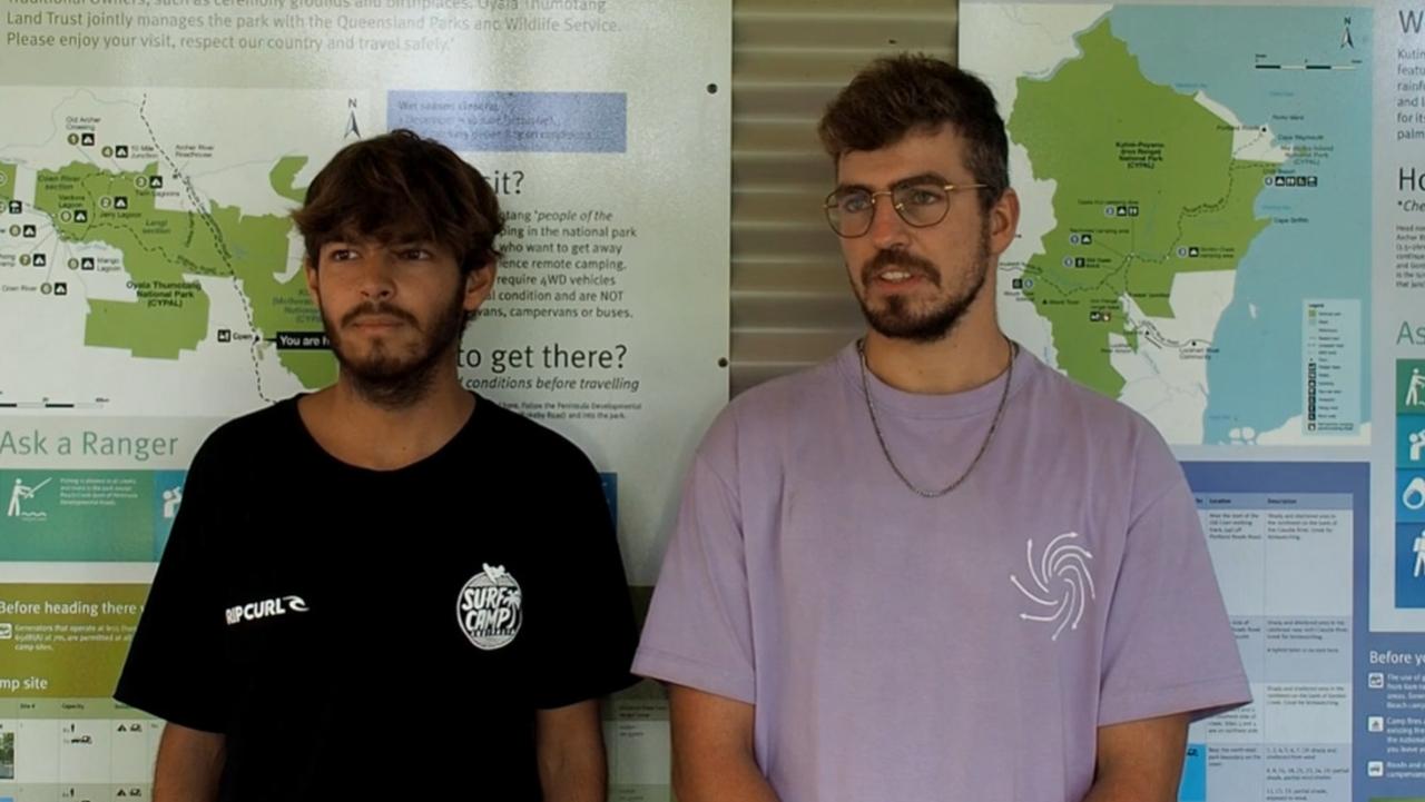
About a week after abandoning their vehicle, the tourists stumbled into Coen and advised authorities they had left their car in the national park.
Typically the Cape York drive season begins after the wet season from the end of April, however it appears Marcel Schoene and Philipp Maier underestimated the difficulty of navigating boggy dirt roads.
Ranger in charge Roger James said a local mechanic was sent to recover the vehicle “which is much better than assisting emergency services in the search for bodies”.
“This is not the first incident of Google Maps sending people off the Peninsula Development Road and into national parks, where they either get lost or their vehicles get bogged,” he said. “People should not trust Google Maps when they’re travelling in remote regions of Queensland, and they need to follow the signs, use official maps or other navigational devices.”
Mr Maier said he drove into the national park for 60km before getting the Nissan Navara bogged to the axle.
“At Coen Google Maps said go to the national park and (we thought) OK because the main road is closed because of a high river,” he said.
Mr Schoene described the ordeal as “a very bad feeling”
Sara Watkins from Coen Mechanical said it was the second recovery this year from the Oyala Thumotang National Park.
“We have had two (groups) that have got stranded in the national park and have had to walk a significant amount of kilometres for someone to pick them up, they have just been very lucky I think, and we see more and more people doing it,” she said.
“We follow Google Maps because we rely on it as a technology and it’s really something that needs to be addressed, I do see it happening again.
“The Cape is not anything to be messed with especially during the wet season, conditions can change within the space of 10 minutes.”
Originally published as German tourists rescued near Coen after being directed to go bush by Google Maps


