
Hinchinbrook residents take shelter as FNQ braces for damaging winds
A “take shelter” alert has been issued to Hinchinbrook residents as the Far North braces for damaging winds ahead of Tropical Cyclone Kirrily.

Cairns
Don't miss out on the headlines from Cairns. Followed categories will be added to My News.
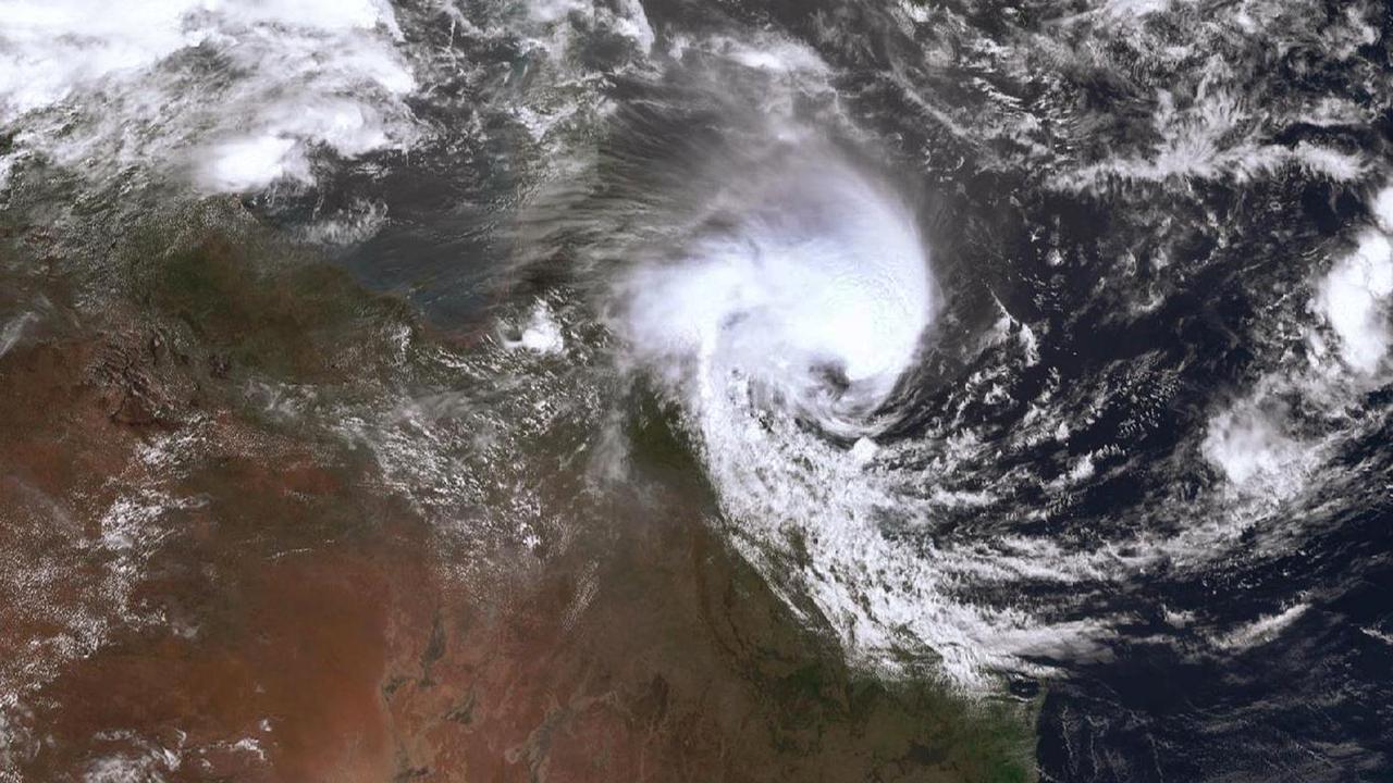
Hinchinbrook residents have been warned to “take shelter” as Tropical Cyclone Kirrily edges closer to the Queensland coast.
Hinchinbrook Shire Council has issued a Take Shelter Now alert as the Category 2 system moves towards Townsville.
“The cyclone will cross the coast near Townsville this evening into tomorrow morning, Friday 26 January 2024. Conditions will be dangerous as it gets closer to land. The Hinchinbrook Shire should be prepared for destructive wind gusts up to 140km/h during this evening,” the statement read.
“People should prepare now to take shelter.”
It follows another alert issued by the Hinchinbrook Disaster Management Group warning residents to stay off roads and seek shelter as damaging winds were expected to hit the coast from 2pm.
Hinchinbrook Disaster Management Group issued the emergency alert via Queensland Fire and Emergency Services on Thursday afternoon.
“Destructive winds are expected from 2pm today. Warn others, stay off roads and take shelter now,” the warning read.
The group urged residents to listen to local radio or visit the Hinchinbrook disaster dashboard for more information.
“If your life is in danger call triple-0. For assistance call the SES on 132 500.”
Damaging winds and thunderstorms are also likely for the Far North as a tropical low continues to form off the Queensland Coast.
While Tropical Cyclone Kirrily barrels towards Townsville, meteorologist Morgan Pumpa from the Bureau of Meteorology said winds of up to 48 knots were expected along the Cairns coast, with the Bureau issuing a storm force warning.
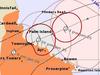
“We see winds above 48 knots being possible up until midnight but this will depend on the movement of the tropical cyclone. Within our track map, we do have the warning zone until about south of Innisfail,” Ms Pumpa said.
“We’re still seeing strong winds north of Innisfail and gale-force winds are still possible as we see Tropical Cyclone Kirrily make landfall and decay into a tropical low. We can see up to 50km/h possible on Friday, so make sure to secure objects in the backyard and check on indoor furniture.”
Ms Pumpa said there was a chance of showers for the Far North, however rainfall totals weren’t expected to increase over 50mm.
“As we continue through Thursday, we can expect to see winds increasing and tending more westerly as we head into the afternoon. There is also a chance of showers, but not the significant amount as what we’re seeing further south and areas within the warning zone,” she said.
It follows a similar forecast from meteorologist Adam Blazack from the Bureau of Meteorology on Wednesday, who said the Far North could be hit with damaging downslope winds.
The tropical low in the Coral Sea was developing slowly and was officially categorised as Tropical Cyclone Kirrily late Wednesday.
“There’s a chance of damaging wind gusts in the Cairns region from Thursday night and into Friday as it makes landfall. The further south you go, the more likely (downslope winds) are,” Mr Blazack said.
Afternoon thunderstorms are likely for the weekend, and more winds but not much rain.
“At this stage, it looks as though the majority of the rain will be falling at Innisfail and south,” Mr Blazack said.
“Totals could be between 100mm to 200mm there but broadly around the Far North, we’re looking at 50mm to 100mm, with isolated rainfall located up 200mm, as the cyclone crosses the coast between Ingham and Bowen.”
Little rain is expected for the Cairns region on Thursday and Friday, with minimal cloud cover and a possibility of afternoon storms.
“There’s still a risk for Cairns itself in terms of the wind, as downslope winds are strong enough to bring down large tree branches.”
More Coverage
Originally published as Hinchinbrook residents take shelter as FNQ braces for damaging winds

Hwy reopened, three hospitalised following multi-vehicle crash
The Kennedy Highway has been reopened to traffic following multi-vehicle crash, which left three people hospitalised, on Thursday afternoon.
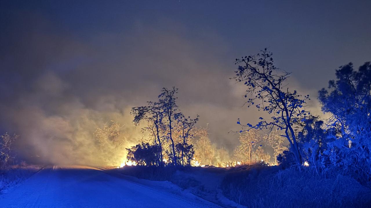
‘Hectic wildfire season’: Deliberately lit bushfires
A Far North Queensland-based firefighter has warned many homes are not prepared for fire-season as crews contain fires claimed to be deliberately lit.

FNQ’s collection of on-road oddities and troppo transport options
From a kid towing a boat behind an e-scooter to a go-kart on the main drag of a Tablelands town, the Far North has no shortage of on-road oddities when you just have to get there. See the hilarious list.

YOUR SAY: Qld’s election promises unpacked
Queenslanders have been promised a lot in recent months ahead of October’s state election – but what can we trust and what is simply a vote-grab? HAVE YOUR SAY

Police seize rifles and handguns in firearm blitz
A police crackdown on illegal firearms including raids on properties throughout Far North Queensland has resulted in the seizure of 18 unlicensed or unregistered weapons. Watch the video.

Masked gang’s violent home invasion in southern Cairns
Police are seeking witnesses after a masked gang broke into a home in Bentley Park, targeting residents and damaging property. Find out more here.