
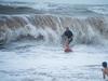
BOM forecasts potential showers over the coming days after Sunday night’s sudden downpour
Sunday’s surprise late night blustery rain might not be the last for the Top End, the Bureau of Meteorology forecasts, as the Northern Territory’s strange weather period persists. Read the details.
News
Don't miss out on the headlines from News. Followed categories will be added to My News.
Sunday’s surprise blustery late night downpour might not be the last for the Top End, the Bureau of Meteorology forecasts, as the Northern Territory’s strange period of weather persists.
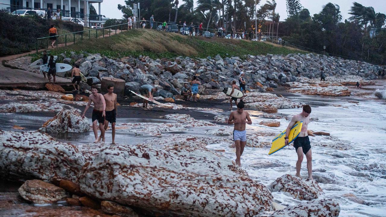
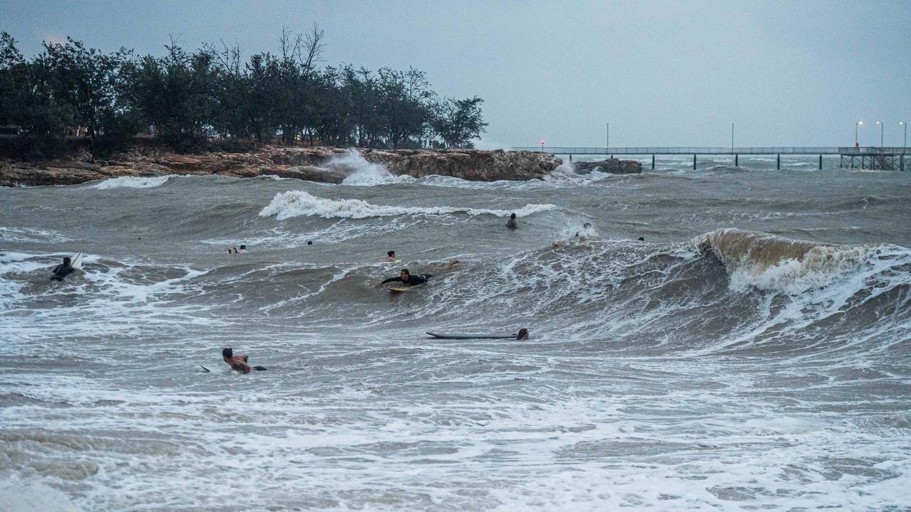
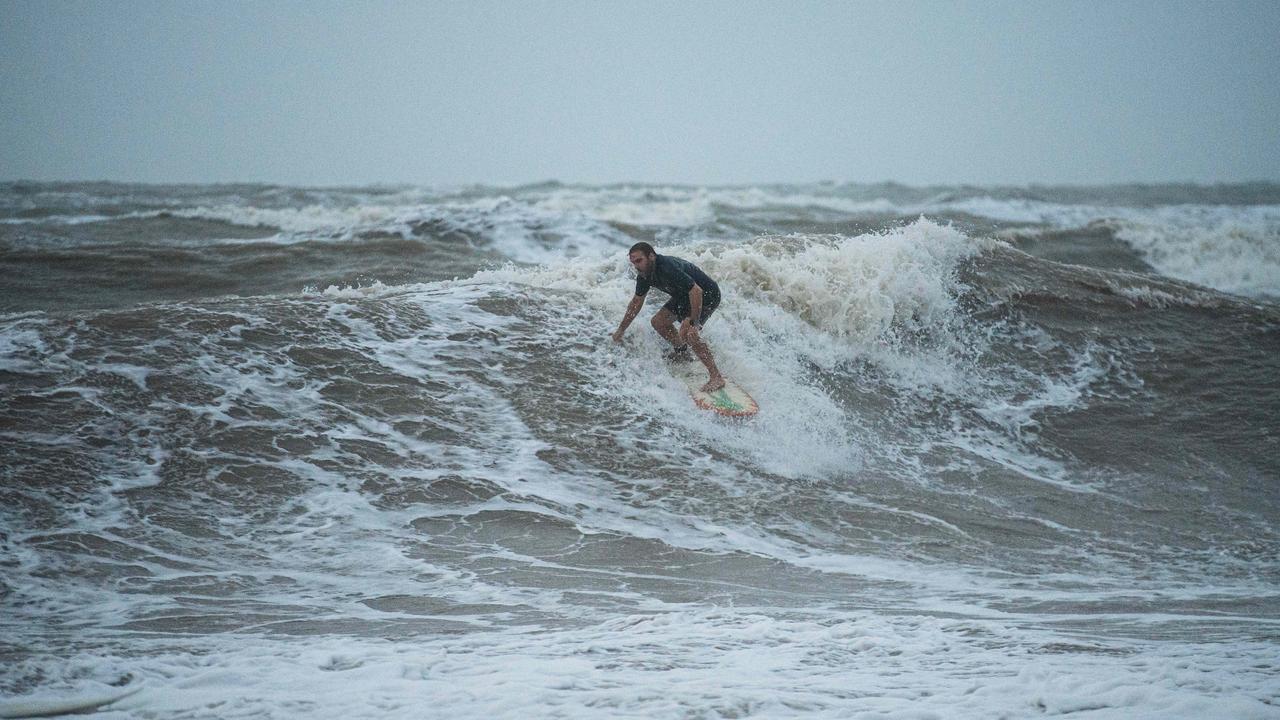
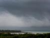
Darwin Airport recorded about 10.4mm of rainfall between 8.42pm-10pm Sunday, according to the Bureau’s observations.
At the airport, wind speeds peaked at about 35km/h at 9.30pm, while wind gusts peaked at 52km/h at 8.46pm.
From 9am Sunday to 9am Monday, about 11mm of rain was recorded at the Darwin CBD; 2.6mm at Nightcliff; and 0.5mm at Marrara, according to the Bureau.
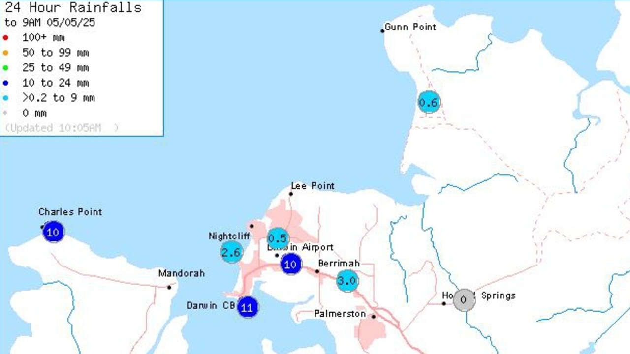
The most southern region of the NT to see showers was just off the Carpentaria Coast near Groote Eylandt – recording about 1.6mm of rainfall.
According to a spokesperson for the Bureau, the rainfall in Darwin and its surrounds was caused by humid easterly winds.
“This rain was forecast”, the spokesperson said.
“When the winds across the Top End originate from the Coral Sea and Gulf of Carpentaria, they cause showers to move from east to west across the Top End.
“This is normal in the dry season, especially in May.”
And it may not be the last of it, the Bureau forecasts.
“There is the chance of showers across the Top End again, particularly in eastern and northern parts of the Top End,” the spokesperson said.
“From Wednesday, drier south-easterly winds will develop across the Top End, apart from the northeast Arnhem District, which will cause showers to ease and clear.”
Punters on social media were quick to share their thoughts about the rain.
“My whinge, when is this wet season going to fk off !!!” one user wrote on Facebook group Darwin Have a Whinge.
“Tonight hopefully,” a user replied.
But many others hailed the sudden burst as “awesome” and hoped to see more.
“Loving the rain keep it coming,” a user shared.
“More rain please,” said another.
It comes after the Top End recorded its latest ever monsoon onset on February 7, 2025, surpassing the previous record of January 25 in 1973, according to the Bureau.
More Coverage
Originally published as BOM forecasts potential showers over the coming days after Sunday night’s sudden downpour

‘Abhorrent’: NT man charged with raping child under five
An Alice Springs has been charged with several child abuse offences including having sexual intercourse with a child under five. Read his full list of charges.

Minister stands firm over Youth Hub location
Minister for Youth, Seniors and Equality Jinson Charls says the CLP Government’s decision to relocate its youth hub to Leanyer will not bring anti-social behaviour to the suburb despite concerns from critics. Read the details.
‘Full circle’: Rioli hoping to inspire on Darwin return
The Gold Coast’s Daniel Rioli will live out a childhood dream by running out as part of the home AFL side in Darwin hoping to inspire the next generation of NT footy stars.

40+ photos: All the celebrations from the Woman of the Year awards
Professionals, leaders and change-makers were celebrated at the second NT News Woman of the Year. Catch up on all the glamour, tears and laughter from the mega gallery.
Community mourns tragic passing of senior Aboriginal elder
Community mourns death of senior Gumatj elder who was allegedly killed in a domestic violence incident. Read the details.

Kate Everett named NT News Woman of the Year
Out of personal tragedy, Dolly’s Dream co-founder Kate Everett has sparked a national conversation about the devastating impacts bullying can have, and has lobbied for a safer and kinder Australia.