Auburn Council: rezone plan benefited member, inquiry told
Colouring pencils and paper maps were used by Auburn councillors to indicate their desired rezoning, an inquiry has heard.
Colouring pencils and paper maps were used by Auburn councillors during a weekend retreat to indicate their desired rezoning of an area which included property owned by one of the group, an inquiry has heard.
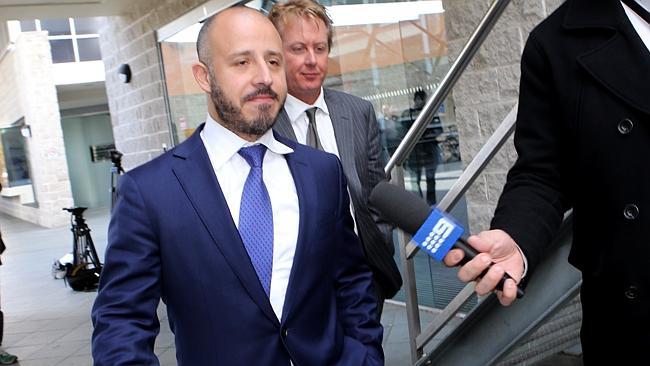
At the opening of a public inquiry investigating allegations that councillors made decisions to benefit themselves or their families, Paul Bolster, the counsel assisting the commissioner, said the maps were then reflected “by coincidence or otherwise” in a draft proposed by staff for the rezoning of Berala shopping district in Sydney’s west. The area in question “happened to encompass property owned by councillor Hicham Zraika”, Mr Bolster said.
“Precisely how this happened … will be a principal focus of his inquiry,” Mr Bolster said.
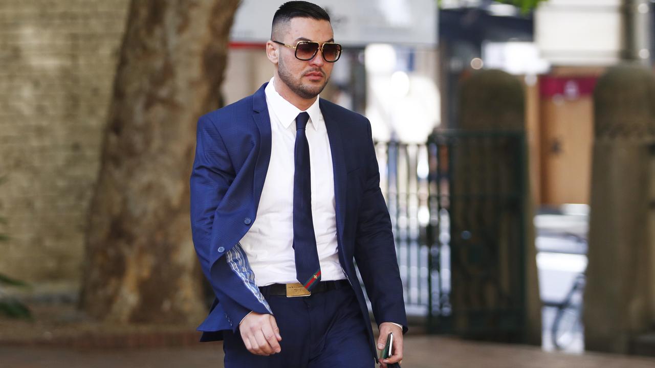
Former Auburn deputy mayor Salim Mehajer will give evidence in relation to his lavish wedding, which involved the partial closure of Francis Street in Lidcombe, as well other decisions surrounding the developments on John Street in Lidcombe and the South Auburn Planning Proposal, which sought rezoning to allow commercial and residential development of up to 12 storeys.
Auburn City Council administrator Viv May said he was briefed about the South Auburn proposal by staff who gave him the impression that they “weren’t comfortable with the zoning presented and were trying to appease the councillors”.
NSW Labor leader and member for Auburn Luke Foley yesterday called for the inquiry to focus on an apartment block on Water Street, Lidcombe, which was developed by former mayor Ronney Oueik. The block lost its roof in a summer storm and was later found to have significant structural defects.
Mehajer’s search for tenants
Salim Mehajer is on the lookout for two big additions to his life: a lawyer and a tenant.
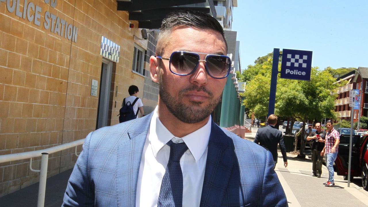
Mehajer arrested over crash
Former Auburn deputy mayor Salim Mehajer is among four people arrested over allegations of insurance fraud relating to a car crash in 2017.