Sydney breaks annual rainfall record with almost three months to go; tornadic supercells possible in Victoria
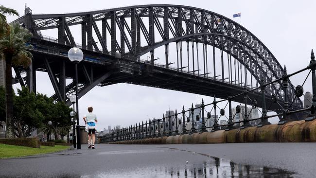
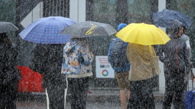
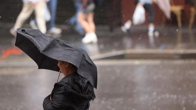
Sydney has broken its annual rainfall record, with a third day of steady rainfall taking the NSW capital past the previous record year, 1950.
Sydney has broken its annual rainfall record, with a third day of steady rainfall taking the NSW capital past the previous record year, 1950.
The city’s annual rainfall hit 2211.4mm at 1.30pm (AEDT), passing the 1950 total of 2194mm about 20 minutes earlier, with 86 days of the year left.
In a year that brought three floods crises to Sydney’s northwest, west and southwest, the city’s monthly rainfall has been higher than average in eight of the 10 months this year.
The October rainfall in less than six days is already greater than the whole month’s average.
Ten days this year, including Thursday, have topped 50mm, while two have surpassed 100mm.
The city’s annual average rainfall of 1211.3 was exceeded on April 7.
Observatory Hill records date back to 1858.
Victoria braces
Victoria could be hit by a severe storm supercell which could cause tornadoes, as part of a “triple threat” weather phenomenon.
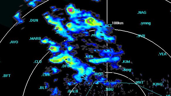
Heavy rainfall and possibly severe thunderstorms are expected over the next two days as a cold front moves through western and central parts of the state, but that wild weather could become even more extreme.
Sky News meteorologist Alison Osborne said these regions were “primed” for the severe storms and warned there was “the risk of tornadic supercells” on Thursday afternoon.
“These sorts of storms, they can last a couple of hours and they do bring that triple threat of those dangerous storm phenomenon,” she said.
“So large hailstones, very intense rainfall. There's also the potential for very damaging gusty winds.
“If one or two of those storms develop, there is a chance that they might spring a couple of tornadoes as well.”
Communities which could possibly be impacted include Echuca, Bendigo, Daylesford, Ballarat, Hamilton, Mildura and Swan Hill.
Ms Osborne said there was a “slim chance” a tornado would form, but she would not rule it out for any of those regions.
Damaging winds of more than 90km/h are expected in some areas, which could pull down trees and powerlines.
That storm threat is expected to ease by Friday morning.
Daily rainfall totals of 30-50mm are forecast across the state during these weather events, while a severe weather warning for heavy rainfall is current for parts of Mallee and Northern Country forecast districts.
A wet ðŸŒ§ï¸ & windy 💨Wednesday. The highest rainfall across the north (10-20mm already recorded in the NW), a chance of flash flooding today & river rises over the next few days
— Bureau of Meteorology, Victoria (@BOM_Vic) October 4, 2022
Keep 👀 on #VicWeather & warnings: https://t.co/yVizEklrz2
& advice from @vicsesnews@vicemergencypic.twitter.com/qIZcJGo6AQ
The bureau has issued minor flood warnings for the Kiewa, Loddon and Snowy rivers, while there is a flood watch for northern and parts of southern Victoria.
Major flooding is possible in the northeast from Friday afternoon.
There is also a gale-force wind warning for the east Gippsland coast on Thursday.
NSW SES has 50 flood warnings in place across the state. Seventeen are to “watch and act” and the rest are “advice” warnings.
That includes a flood watch being issued by the bureau for possible minor to moderate flooding around Greater Sydney and the Illawarra along the Hawkesbury and Upper Nepean rivers.
Across Sydney, Wakehurst Parkway is closed in both directions due to flooding, while Audley Weir and Oxford Falls Rd are also closed.
Fun Fact - we are 278 days into 2022. It has rained in Sydney for 157 of those days. A little primary school math and that's around 56%. More wet days than dry this year in Sydney. #notsofunfact
— Alison Osborne (@Alison_Osborne_) October 5, 2022
Western areas around the state, including Forbes, Warren, Dubbo, Nyngan and Bathurst, have been advised to be on high alert for possible floods throughout Thursday.
The bureau said communities like these could experience more flooding over the coming weeks due to the heavy deluges they had copped in recent times.
“Many communities that recently experienced flooding or are currently in flood will likely see rivers rise in the coming week,” it said in a statement.
“The ground remains saturated, and any additional rainfall will cause streams and rivers to rise.”
But state Emergency Services Minister Steph Cooke expressed confidence the government and SES were prepared for the situation.
“We are seeing challenges on multiple fronts across NSW at present. Across the western parts of the state we have got multiple river systems that are in floodwaters to some extent, whether that be minor right through to major,” she told the ABC.

‘We have resources positioned where they may be needed, whether that‘s aircraft positioned around the west of NSW, we have got high-clearance vehicles in certain communities, we have got more than 500 SES volunteers out in the field at the moment.
“It is going to be a challenging few days, but we are up to the challenge.”
In the 24 hours to 7am on Thursday, NSW SES performed four flood rescues and received 237 requests for assistance.
Add your comment to this story

Joyce renews net zero attack after Nats leader slams ‘grandstanding’; Ley won’t change stance
David Littleproud insists he’s not worried about his leadership while Barnaby Joyce went back on the attack, saying he never voted for net zero in the Nationals party room as a Coalition headache grows for Sussan Ley.

‘No longer a failure if you drop out’: Adelaide’s vision
The mega-university’s degree overhaul shows how the traditional tertiary degree is changing.
To join the conversation, please log in. Don't have an account? Register
Join the conversation, you are commenting as Logout