Rain drenches some of drought-hit NSW, reducing fires
Flood fears have risen for NSW after the Queensland downpours but many bushfires are still burning, with a warning in Victoria.
Fears of flooding have risen for both the north and south coasts of NSW after south-east Queensland had heavy rain overnight, but many bushfires are still burning in NSW and Victoria.
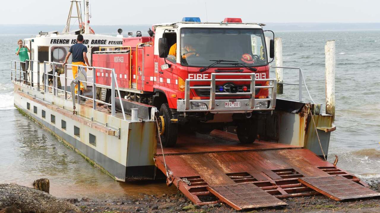
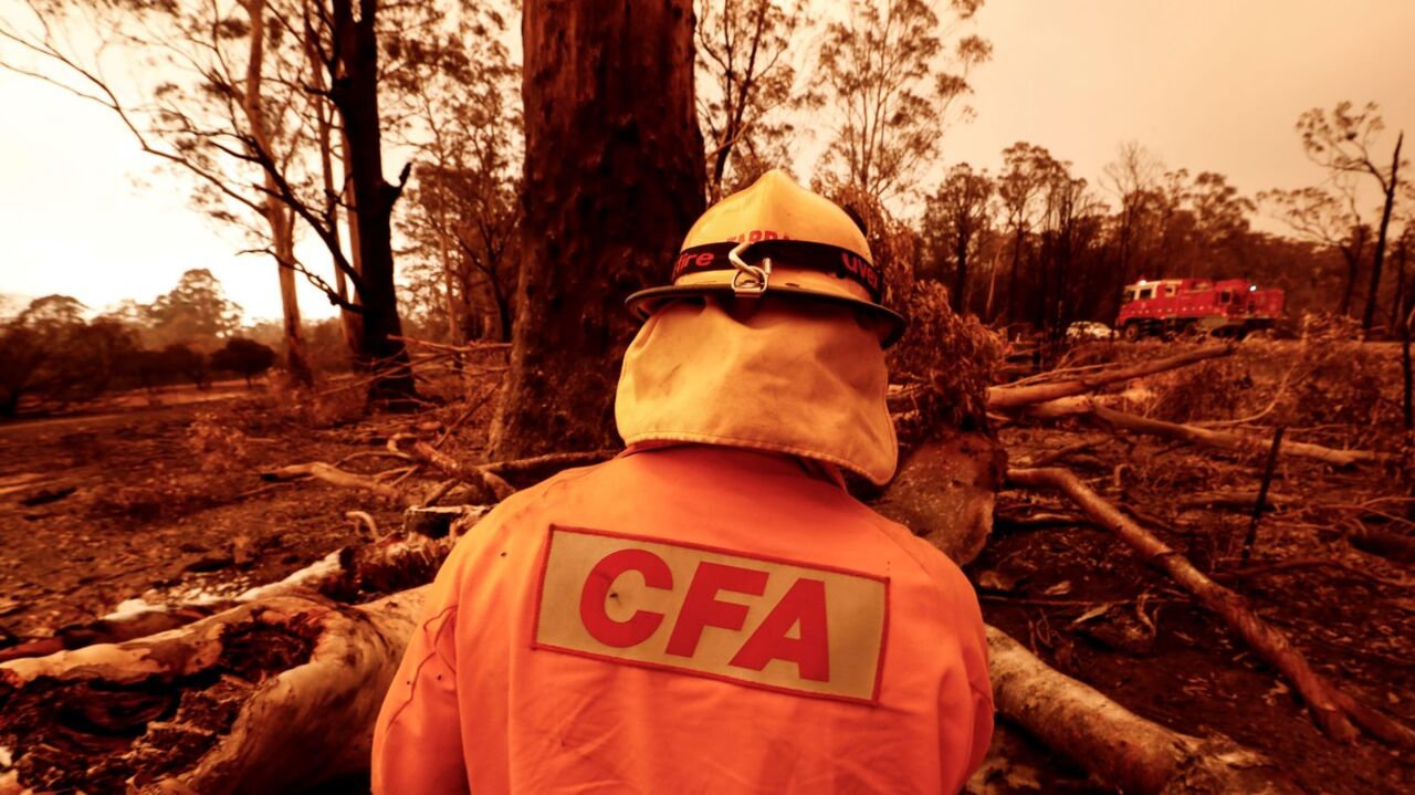
One fire is burning out-of-control on French Island at Western Port in southern Victoria.
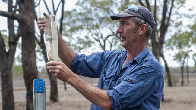
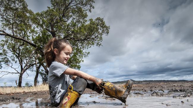
Parts of drought-stricken NSW have received drenchings, with some regions recording 250mm of rain in the past 24 hours.
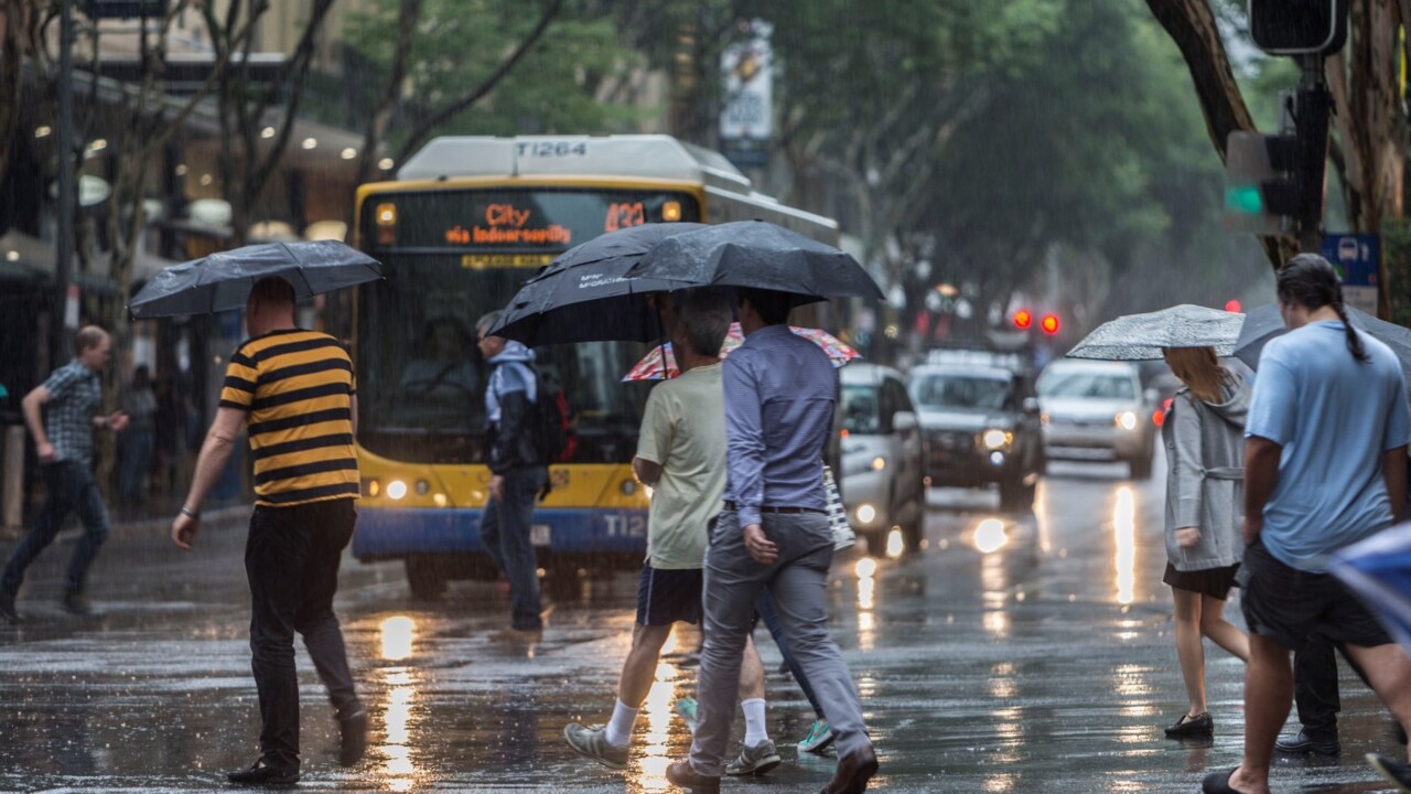
Heavy rain and thunderstorms are expected to continue for the next two days with the trough that bucketed rain and caused flash-flooding in Queensland moving south.
Rain has also helped quench nearly half of the bushfires burning across NSW.
On Saturday afternoon, there were 69 bushfires burning – none of which were at “watch and act” or “emergency” levels.
At the same time last Sunday, there were 111 bushfires burning.
Bureau of Meteorology forecaster Abrar Shabren said the system which had dumped heavy rain on Queensland had begun moving down into northern NSW.
On Saturday the mid north coast, central coast and Northern Tablelands regions all copped significant rain.
The Tweed and Northern Rivers regions received the biggest falls, with Clothiers Creek receiving 250mm in the 24 hours to 9am on Saturday.
It was expected to continue over to rain heavily in the state’s north on Sunday with flood warnings issued for the Orara and Bellinger Rivers on the north coast.
A strong wind warning has been also issued for the Byron, Illawarra and Batemans Coast regions, Rain was then expected to head south on Sunday and Monday.
There are concerns that heavy rain could lead to flashflooding and landslips in parts of the south-east and south coast as it moves down the state over the next 24 to 28 hours.
“It could cause heavy blasts of rain as well which would come with gusty conditions,” Mr Shabren said.
“It could be damaging to areas that have had bushfires. Trees that have been damaged could be vulnerable. We could also have run-off of debris, soil and even rocks and that could lead to landslides.”
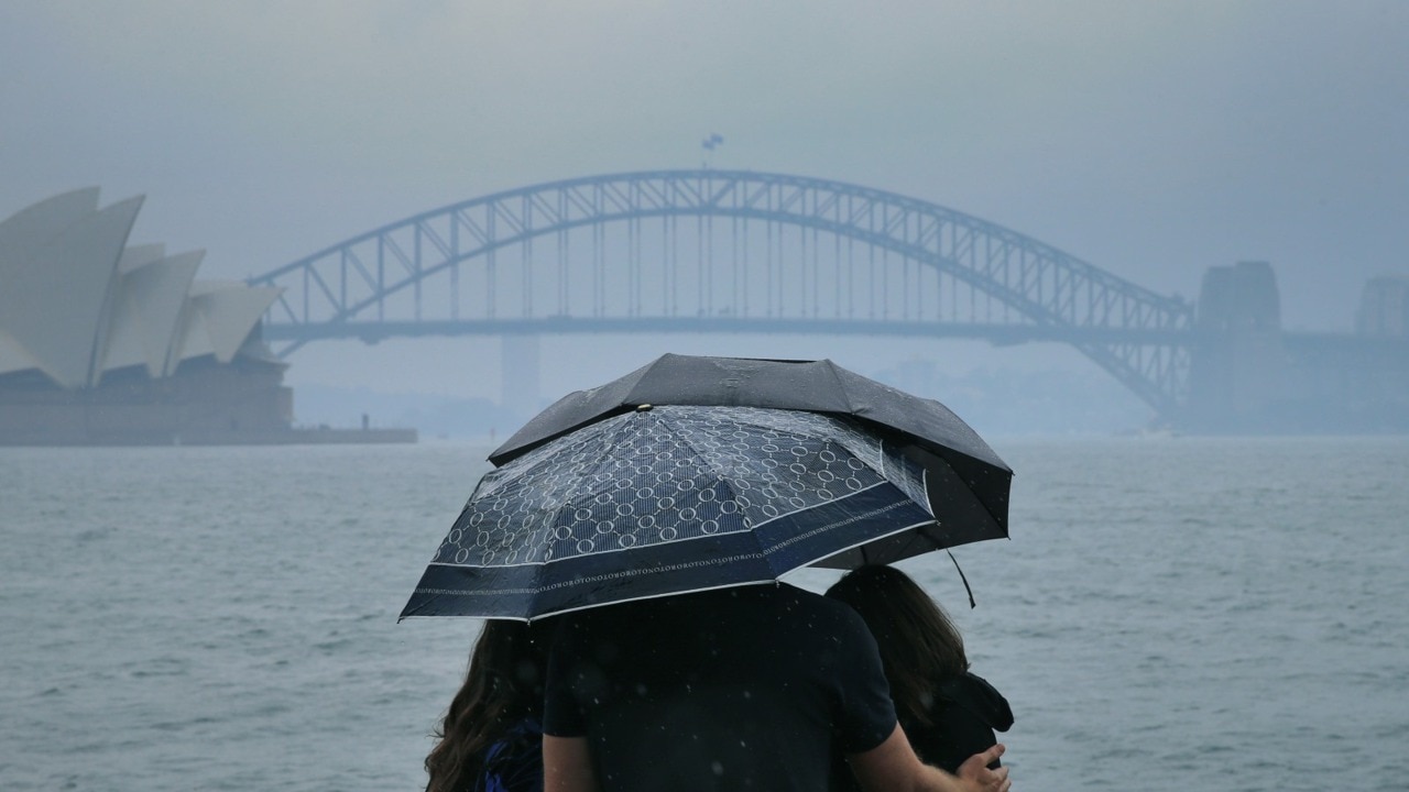
Sydney was expected to receive 5mm to 15mm on Sunday along with most of the state except for the west, which is forecast to experience temperatures in the mid to high 30s.
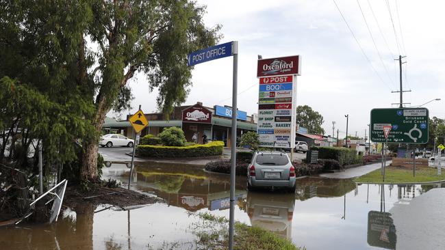
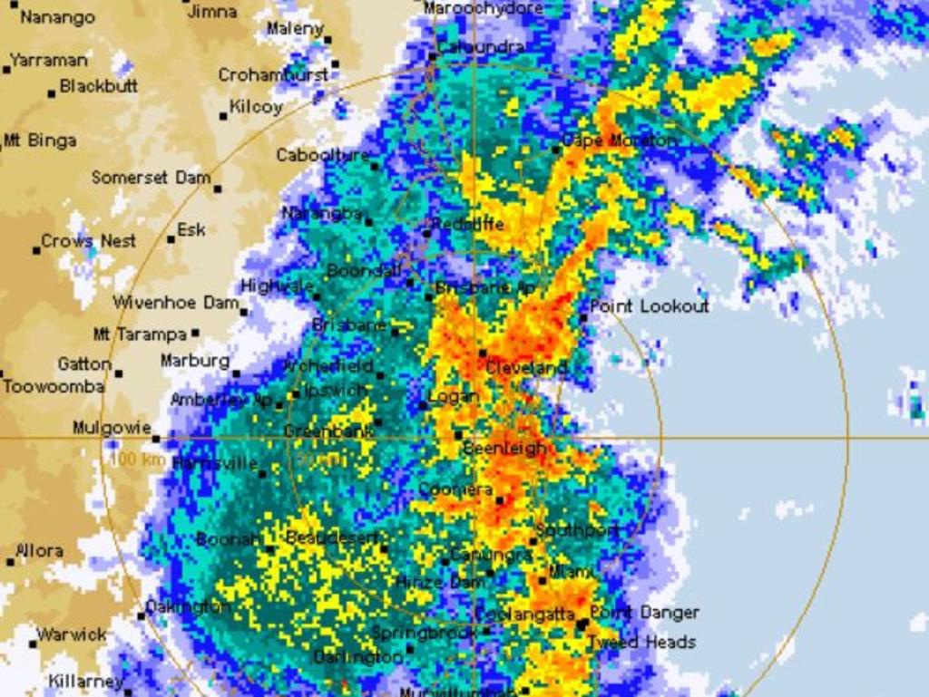
In south-east Queensland, major highways remain cut, theme parks have closed and dozens of vehicles have been swamped after up to 300mm of torrential rain bucketed down overnight.
Two people have been rescued after trying to drive through floodwater on the Gold Coast, with police receiving more than 50 reports of flooded roads across the city on Saturday morning.
The deluge hit the Gold Coast the hardest with 325mm of rain falling at Loders Creek and more than 200mm in the Gold Coast Hinterland.
According to the weather bureau, triple the monthly rainfall has fallen on the Gold Coast in the past 12 hours.
The M1 was closed at Helensvale as emergency crews tried to pump floodwater away. Heavy trucks were being allowed to pass through, but cars continued to be diverted.
Theme parks Warner Bros Movie World, Dreamworld and WhiteWater World Theme Park have closed to the public.
Fire out of control on Vic coastal island
A fire is burning out-of-control on French Island at Western Port in southern Victoria.
An emergency warning – the highest alert level – was issued about 4:30pm for the blaze at Ridge Track.
People in the area have been told it is safest to leave before conditions become too dangerous.
The bushfire is travelling in a westerly direction towards Mt Wellington Road, according to the latest advice distributed about 8:20pm.
The road is expected to be impacted by the blaze by 10:30pm. “Emergency services may not be able to help you if you decide to stay,” the warning reads.
“You should leave and head in a southerly direction away from the fire.”
The island had a population of 119 at the time of the 2016 Census, but tourists can access it using a 30-minute passenger ferry.
Authorities earlier downgraded emergency warnings in Victoria’s alpine region despite difficult fire conditions overnight.
There were 15 still raging in Victoria on Saturday afternoon, predominantly in the East Gippsland and the northeastern alpine regions.
Most are burning at “‘watch and act’’ level or lower, but emergency warnings had been issued for fires near Mount Buffalo in Victoria’s alpine region, and briefly for Bulart, in the state’s southwest on Friday.
Both were downgraded to a ‘‘watch and act’’ alert early on Saturday. Authorities said firefighters were able to slow the spread of the blaze near Mount Buffalo but conditions could change at any time.
In East Gippsland, a registration service has been established for people who fled Mallacoota, Genoa and Gipsy Point and want to return now that conditions have improved.
When it is safe to do so, emergency services and the Australian Defence Force will begin flights or escorted road transport into Mallacoota and surrounds, Victoria Police have confirmed.
Incident management specialists from the US and Canada arrived at Melbourne Airport on Saturday morning, ahead of being deployed to fires in the northeast and East Gippsland.
Also arriving from the US was the first of four large air tankers, which are set to be positioned strategically around the country over the next 50 days.
A contingent of 54 personnel from the Fiji Military Force have also arrived in Melbourne on Saturday evening to start induction training before being deployed to East Gippsland, where a group from the Papua New Guinea Defence Force is already at work.
So far the blazes have burnt through more than 1.5 million hectares, 387 residential homes and 602 non-residential buildings.
Five men have also died during the fires.

Add your comment to this story

Kelty blasts Labor’s proposed super tax
Former ACTU secretary Bill Kelty has slammed Labor’s proposed tax on superannuation balances above $3m as ‘bad policy’, and called for major changes to the ‘flawed’ tax system to benefit small business and younger workers.

Preacher’s parting shot at end of his trial
The nation’s peak Jewish body has called Wissam Haddad’s trial a ‘tragedy’ of the justice system because it required a ‘private remedy for a public wrong’.
To join the conversation, please log in. Don't have an account? Register
Join the conversation, you are commenting as Logout