Murray water levels monitored as storm bands on way for Christmas
Australia’s eastern states will be lashed by unpredictable storm bands in the lead up to Christmas, but forecasters predict clearer skies and warmer conditions by Friday.


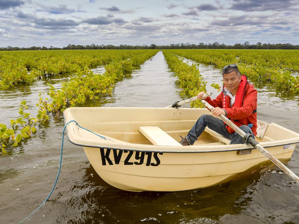
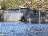
Australia’s eastern states will be lashed by unpredictable storm bands in the lead-up to Christmas, as South Australian authorities monitor rising water levels along the River Murray, where properties have already been inundated by floodwater and left without power.
As floodwaters continue to move downstream, South Australian emergency services are warning peak levels will be reached in Renmark and Berri by Christmas Eve, and Waikerie, Swan Reach and Murray Bridge by early January.
The state’s flood recovery co-ordinator, Alex Zimmerman, said on Sunday that every preparation had been made for the coming weeks, with between 190 and 220 gigalitres of water a day predicted to flow down the river as the flood peaks in late December.
“It’s a unique thing because most disasters have some kind of horrendous activity, like fire rushing through or a flash flood that occurs after a levee breaks and everything gets wiped out … Here it’s just been creeping up slowly,” he said.
The Bureau of Meteorology warned on Sunday the downstream flows would continue to increase over the coming weeks as intermittent storm bands hit the Top End of Australia as well as much of the country’s eastern seaboard.
“All of the flooding we’ve seen in South Australia has nothing to do with rainfall and has everything to do with water making its way downstream from NSW and Victoria after the flooding that’s been recorded from August onwards,” the bureau’s Dean Narromine said.
“We’re going to see a lot of rain activity from the tropical north, including the Northern Territory, northern Queensland and particularly the Kimberley. And as we get through to the midweek that system will fade down through South Australia, with thunderstorms by next Tuesday and Wednesday.”
Across the country, the bureau is forecasting localised rainfall along much of the eastern seaboard in the lead-up to Christmas but said conditions would clear by Friday and Saturday.
A stationary low pressure system in the Tasman Sea continues to drive southerly winds and cooler air north, causing temperatures in NSW and Victoria to remain anywhere from 2C to 6C below the monthly average.
More Coverage

Add your comment to this story

‘No longer a failure if you drop out’: Adelaide’s vision
The mega-university’s degree overhaul shows how the traditional tertiary degree is changing.

Audit on children ditching state care
A full audit has been ordered by the Queensland government to discover why almost 800 vulnerable children in state care are leaving arranged housing placements to tough it out on their own, as unlicensed providers flood the system.
To join the conversation, please log in. Don't have an account? Register
Join the conversation, you are commenting as Logout