Holiday-makers in line for wild weather
Holiday makers in NSW and Queensland are bracing for wild weather this week with both states forecast to be hit with heavy rainfall.
Holiday makers in NSW and Queensland are bracing for wild weather this week, with both states expected to be hit by heavy rainfall.
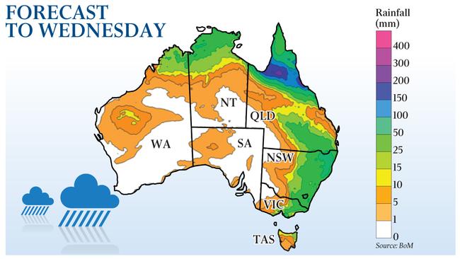
North Queensland faces three days of torrential rain as Cyclone Imogen, currently over the Gulf Carpentaria, moves inland.
Popular holiday destinations such as Cairns, Port Douglas and the Daintree Rainforest are expected to be hit with daily downpours of 200mm from Monday to Wednesday.
The Bureau of Meteorology expects the cyclone to gradually weaken to a tropical low by Wednesday, with winds dying down but the rain to continue.
“We’ve already seen 200mm of rain at Mornington Island,” BOM senior forecaster Peter Markworth said. “From Monday we will see the bulk of the rainfall on the north tropical coast which will begin to shift further south to the central tablelands.”
Some parts of NSW are also anticipating heavy falls due to a slow-moving weather pattern moving across the state.
Storms are being triggered by a low-pressure system interacting with humid easterly winds moving across most of NSW. The rain will be varied, with some areas to be drenched with 50-100mm of rain and others only 5-10mm.
“This is significantly above average but it will be very localised,” BOM senior forecaster Jake Phillips said. “It will be the wettest over the next two to three days.”
The bureau said the wet conditions across the eastern states were influenced by the La Nina weather pattern, which is associated with more moisture in the atmosphere and more frequent tropical cyclones.
Victoria, which was hit by wild storms, heavy rainfall and flash flooding over the weekend, is expected to have calmer conditions.
“Tomorrow will be the wettest day, with 15mm of rain through the central and eastern parts of the state,” BOM senior forecaster Keris Arndt said. “Generally ... it’s looking pretty dry.”
More Coverage
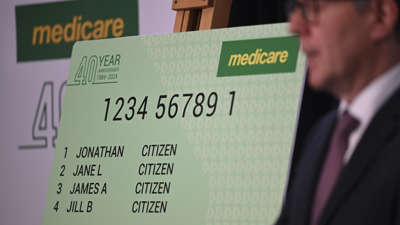
Doctors plot path to halving gap fees
The GP College is pushing for a major lift in the Medicare rebate for long consultations to halve out-of-pocket costs.

‘Dodgy policy’: Queensland government locks in 50c fares
Queenslanders have had 50c public transport fares locked in for the next four years, but not all economists are sold on the $1.5bn commitment.