‘Here we go again’: more rain to pummel flood-soaked Queensland coast
Townsville will again be in the firing line of more heavy rain and potential flash flooding as a new storm front prepares to hit flood-ravaged north Queensland this week.

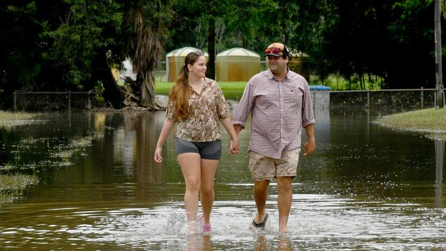
Townsville will be in the firing line of more heavy rain and potential flash flooding this week, as a new storm front prepares to hit flood-ravaged north Queensland.
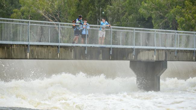
Parts of the state’s north were drenched over the weekend, including the gulf country, spanning from Kowanyama on the Cape York Peninsula to Normanton, to the inland community of Georgetown, which bore the brunt of heavy rainfall.
Sunday’s weather warning followed the small coastal town of Home Hill, south of Ayr, being put on flood alert after the Burdekin River rose to levels not seen in 30 years. Halifax, near Ingham, recorded 270mm over the 24 hours to Sunday morning.
Queensland Premier David Crisafulli warned coastal communities that Tuesday might be a case of “here we go again” as the storm system moved across inland Queensland and out to sea.
Rainfall totals along the coast could again surpass 200mm in a single day.
Mr Crisafulli said councils were on standby, and residents in hard-hit, low-lying parts of Ingham and Townsville had just a “small window” to continue the clean-up from last week before the weather worsened again.
“On Tuesday, it could be a case of, here we go again, and that’s really difficult,” Mr Crisafulli said.
“Not just logistically, it’s really difficult emotionally. But there has been an incredible amount of community spirit.”
Bureau of Meteorology meteorologist Matt Collopy said the protracted rain event still “has a bit left in it”.
February rainfall records have nearly been broken in parts of the state in the first nine days of the month.
“The risk of dangerous and life-threatening flash and riverine flooding continues, particularly through Tuesday,” Mr Collopy said.
“But, it’s important to note that as that weather contracts north from these flooded catchments, the amount of water on the ground will continue to see riverine flooding well after that rainfall eases.”
In the gulf country, heavy rain is expected to ramp up from Sunday evening and into Monday, with daily falls of up to 250mm possible. Mount Isa and parts of the Cape York Peninsula stretching from the west coast towards Cairns were on a general flood watch on Sunday.
Major flood warnings were in place for the Herbert and Haughton rivers, as well as the Upper Burdekin, Flinders and Western rivers.
Mr Crisafulli said the rain could hamper the flood recovery, and senior ministers would remain on the ground to support communities.
“There’s a little bit more to go, and our friends in the west today are in the sights of it,” he said. “But after that, that’s when the recovery will be in full swing.
“Some good has to come through this heartache. That some good has to be in the form of, can we replace the infrastructure … to a more resilient standard, and build in a greater ability to deal with what Mother Nature has to throw at north and far north Queensland.”
Statewide relief from the wild weather is unlikely until the monsoon trough moves off the coast and out to the Coral Sea on Wednesday.
“We see a significant easing in the rainfall for those impacted areas as we move through Wednesday and Thursday,” Mr Collopy from the Bureau said.
“The low itself in the Coral Sea has a low chance of forming into a tropical cyclone and is expected to continue to move east and not impact the Queensland coast.”
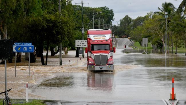
More than 300 roads across the state remained closed on Sunday.
More Coverage

Police probe NSW prosecution office over leaks
The investigation has revolved around the alleged leak by the office of the DPP to a commercial radio outlet of legally restricted information about an underage Aboriginal offender.

Family court bomber dies in prison
Leonard Warwick was jailed for life in 2020 over three murders and a string of violent attacks that terrorised Sydney’s legal community in the 1980s.